17.07.2013Legendary Dempster Highway to the Arctic Circle
Where does the “north” begin and what is it like? Perhaps the answers lie along Dempster Highway. This is the only road in Canada that takes you across the Arctic Circle and into the land of the midnight sun, where north is a way of life, not just an arrow on a map.
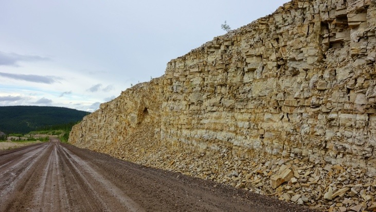
The Dempster leads you into an unique landscape, passing through land that until 190 million years ago was the coastline of ancestral North America…
From the Dempster HighwayTravelogue
No wonder we decided to peak into this exciting and legendary road and thus set our goal to reach the Arctic Circle by traveling the legendary Dempster.
Just about 40 miles east of Dawson City the Dempster Highway junction appears.
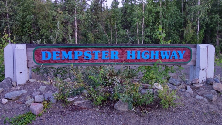
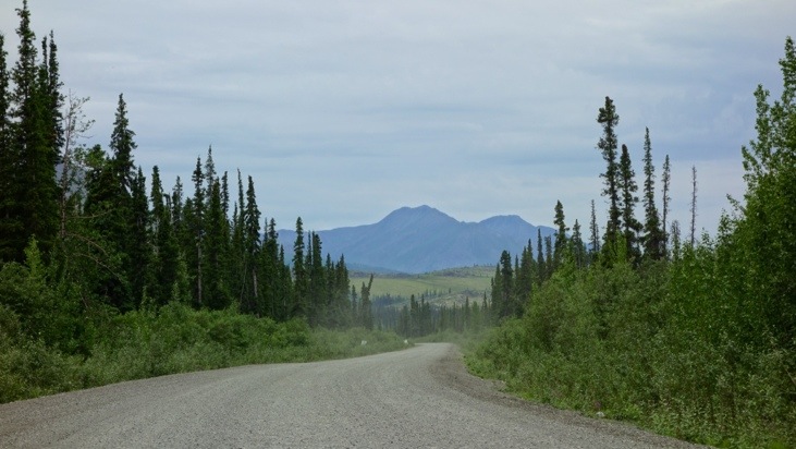
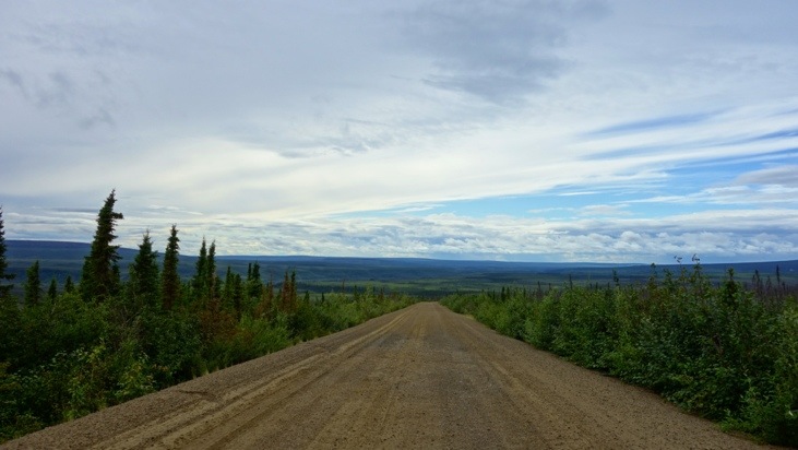
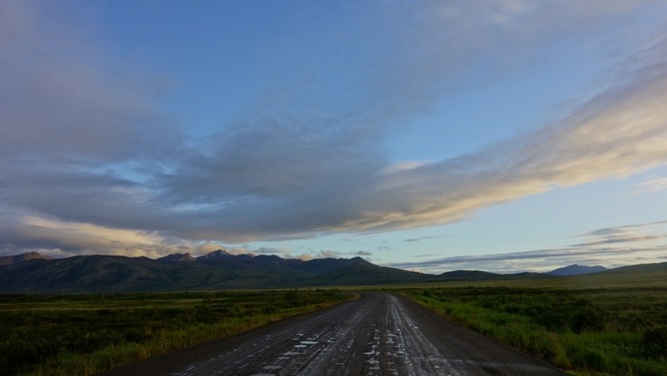
While the first 5 km are still paved,
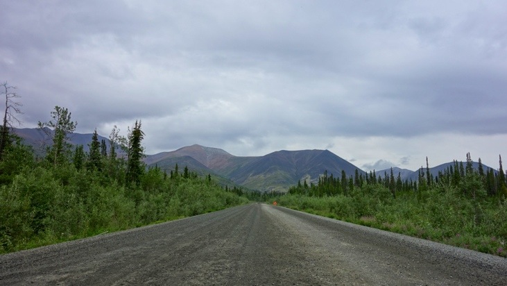
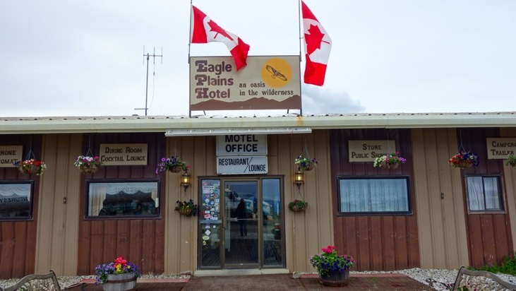
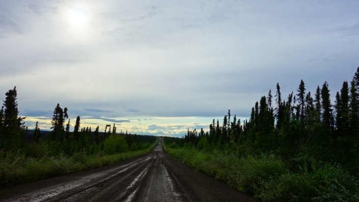
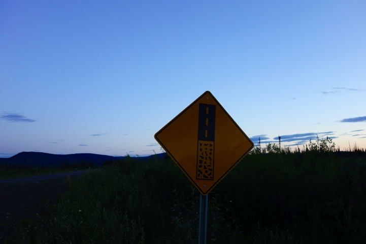
the remaining highway is at best a gravel road. Flat tires are common, however the next telephone, gas station or car service station is at Eagle Plains Hotel, 369 km away.
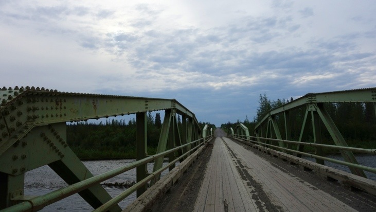
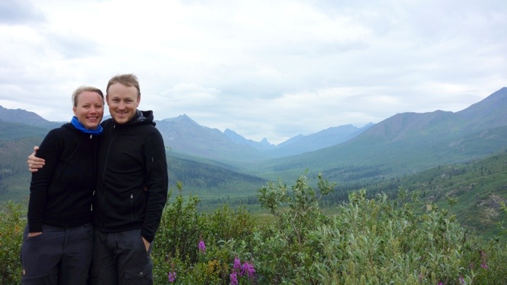
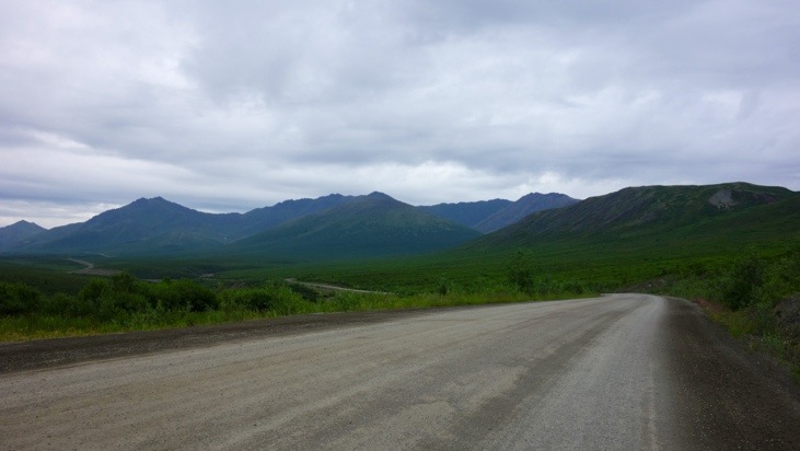
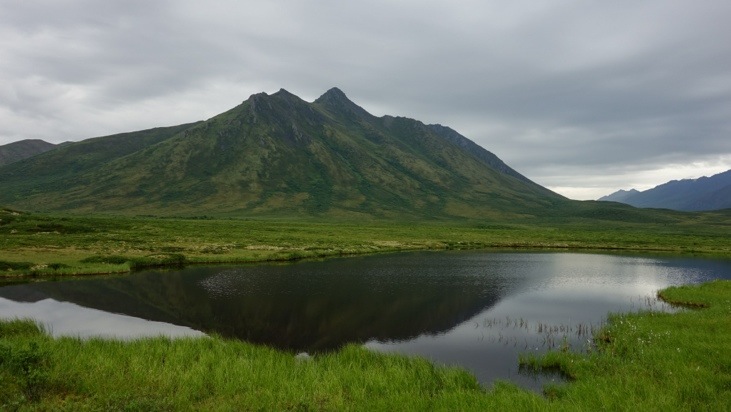
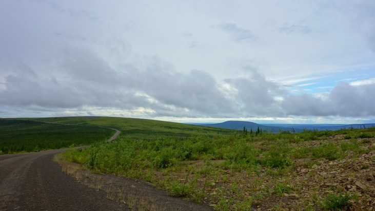
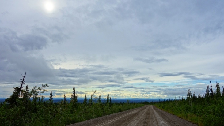
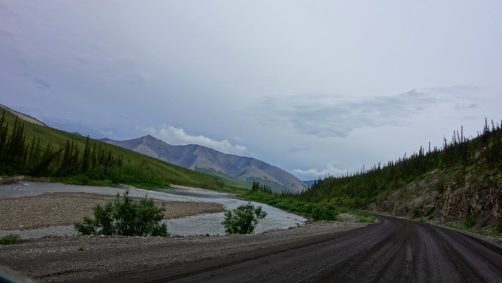
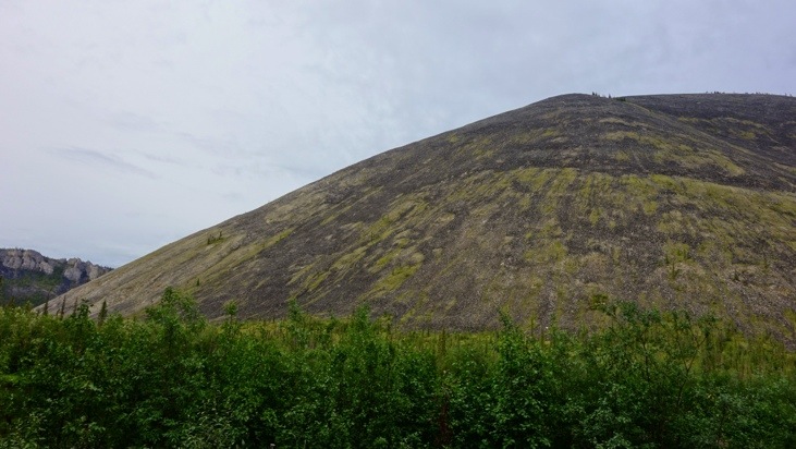
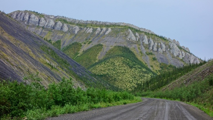
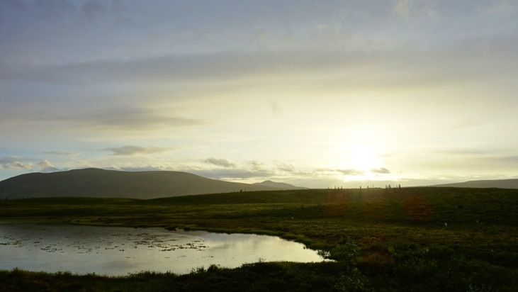
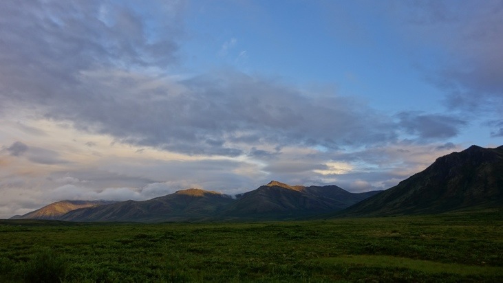
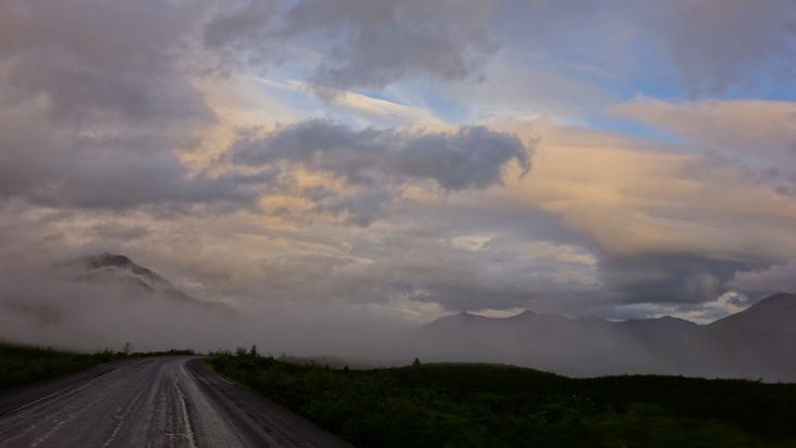
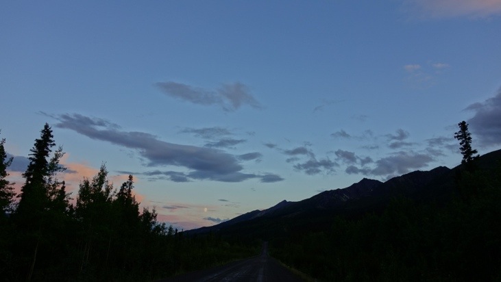
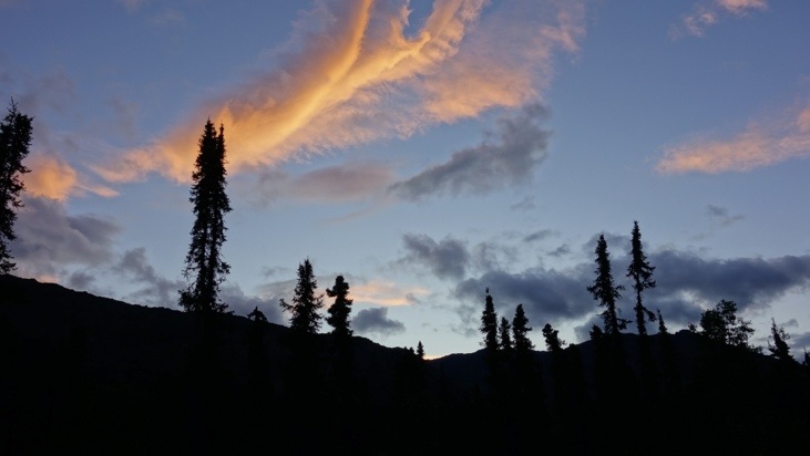
And while we drove up north we passed historic roads, ranges and beautiful sceneries.
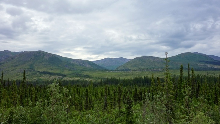
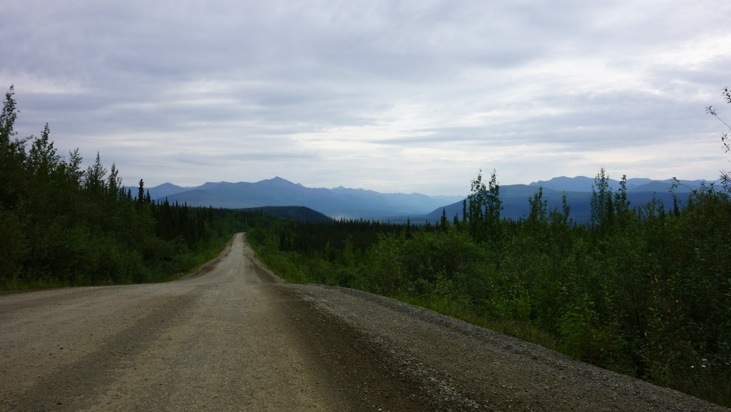
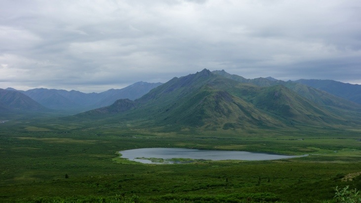
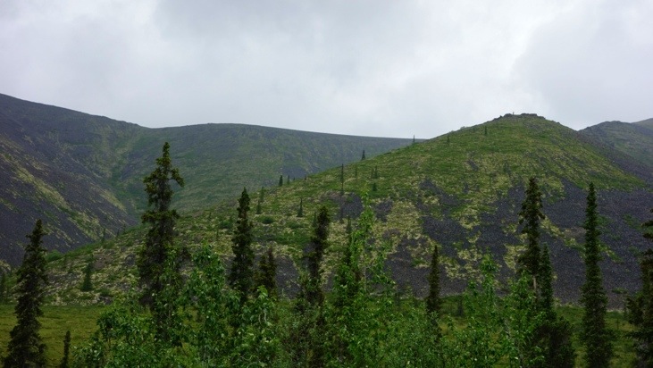
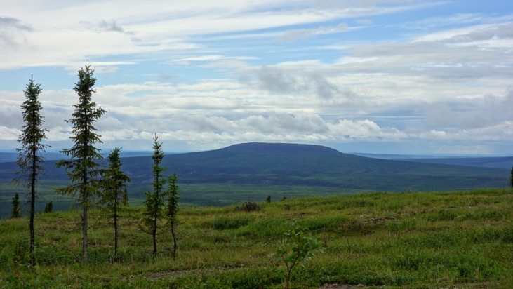
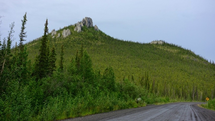
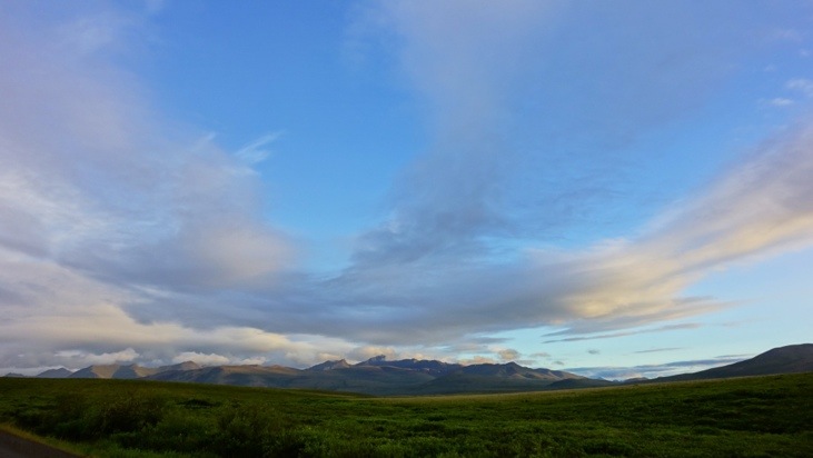
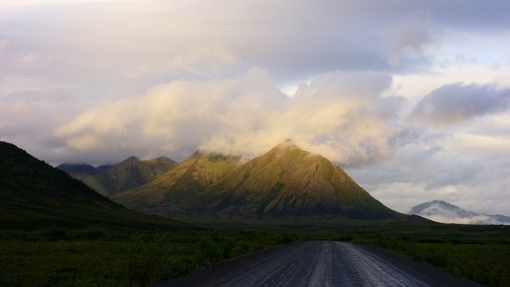
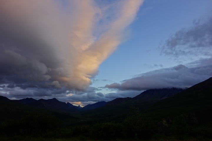
In the center of the background you can see the prominent peak of Tombstone mountain.
And the first person we met that day on the road heading south:

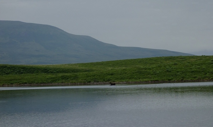
One moose at Two Moose Lake:
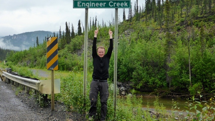
On the way we also passed by Engineer Creek, which was inspiring especially for Andy 🙂
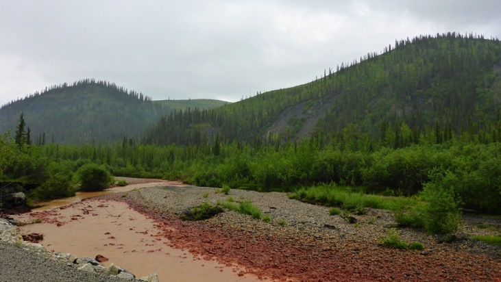
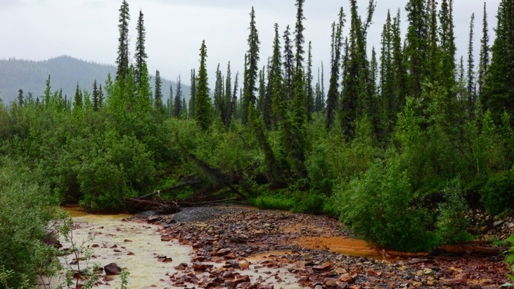
At kilometer 168.3 we reached Red Creek and Sulphur Springs. The water percolating through limestone, gypsum, salt- or sulfide-bearing sediments dissolves parts of the rock. As a result the water is highly acidic and high in calcium, magnesium, bicarbonate, sulfate, hydrogen sulfide, sodium and chlorine. Absolutely not suitable as drinking water!
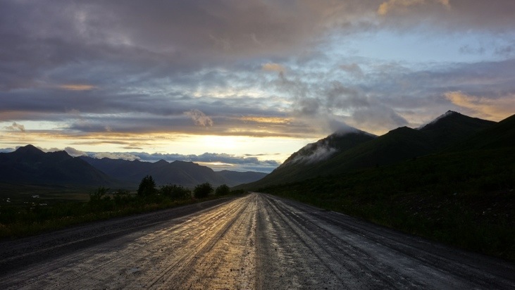
Unfortunately despite the good weather forecast at this point the clouds started pouring down on us and transformed the gravel road full of potholes into a mud road full of hidden potholes. And as it also got cloudy or foggy (we’re still not sure) we would only see many of the interesting sceneries on the way back.
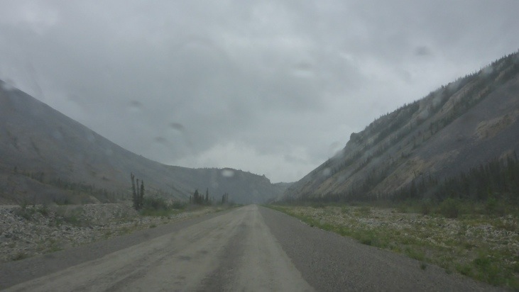
After several hours of tedious maneuvering the mud covered roads we at last safely arrived at the Eagle Plaines Hotel. Here we had a strengthening lunch/dinner and fueled up the car while we waited for the rain shower to stop.
Not too long after we continued our trip towards the Arctic Circle which was now getting close.
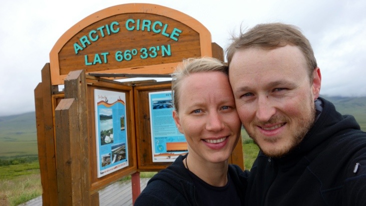
Finally we reached the Arctic Circle which is the southernmost latitude in the Northern Hemisphere at which the sun can remain continuously above or below the horizon for 24 hours. Since it keeps shifting slightly each year due to its dependence on the earth’s axial tilt, we played it safe and drove couple hundred meters more to make sure our reaching of the Arctic Circle remains valid for several more years 🙂
Weird that a simple post in the landscape can create so much happiness, but we were literally dancing around the sign 🙂
At this point we were sure not to continue on to Inuvik as the road conditions were still desolate and we did not want press our luck.
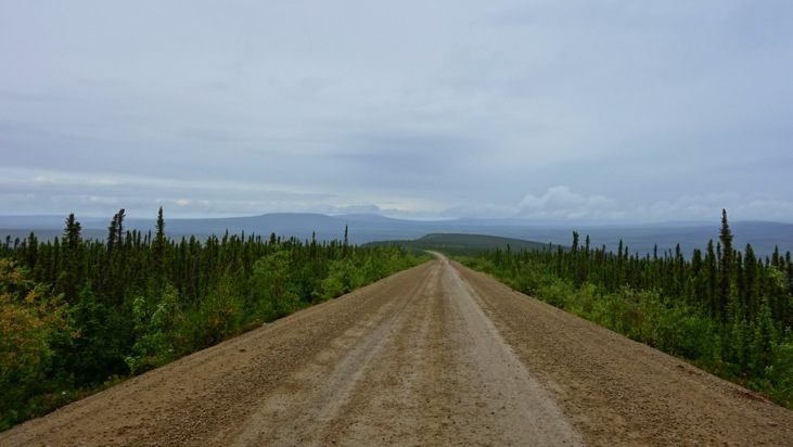
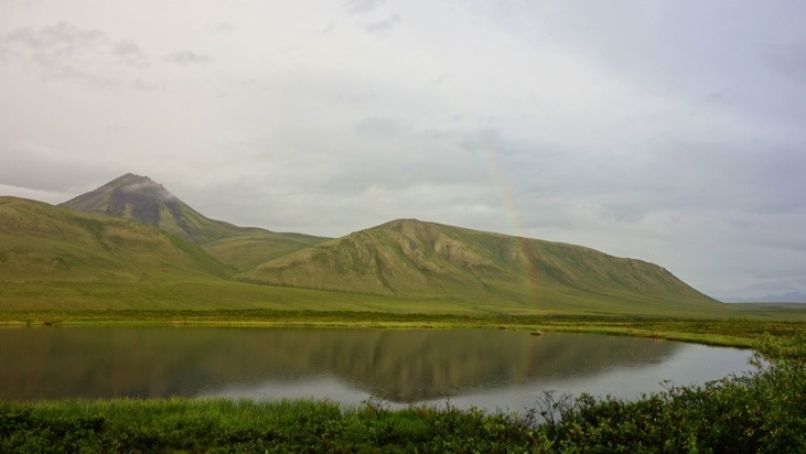
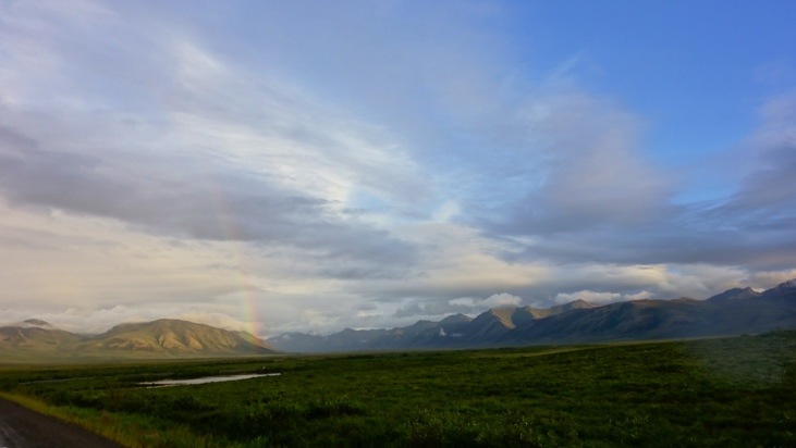
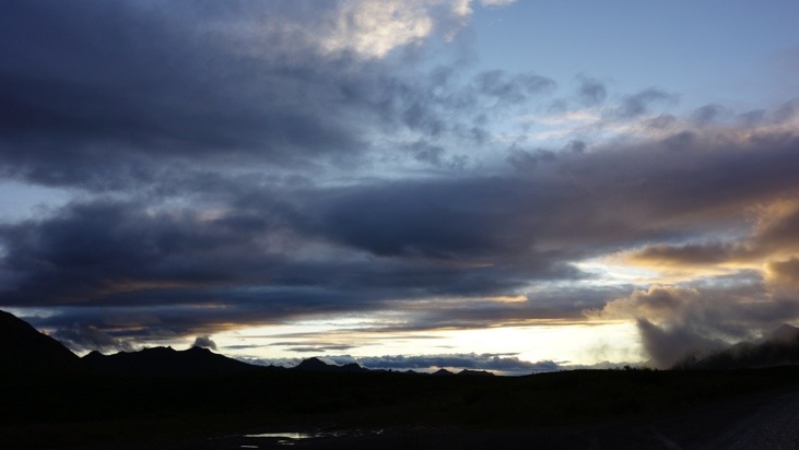
And as we started heading south again the clouds started to slowly clear and a tiny bit of blue sky peaked out and started to expand as we continued. The improved weather conditions quickly revealed many more beautiful sights along the road we had missed or had to skip before.
But unfortunately we also came across some scary accidents which had only recently occurred. We stopped to offer help at all of them, but luckily the passengers were either evacuated already or help had already been organized.
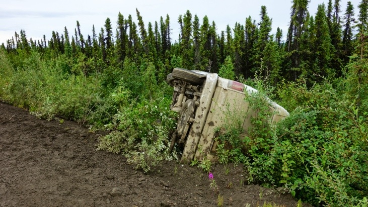
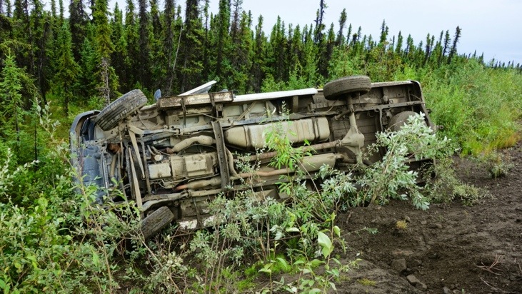
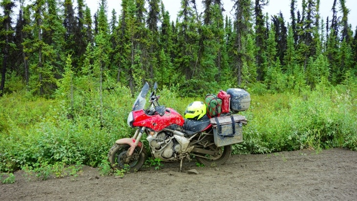
That day we recorded at least 4 accidents we passed by ourselves and which all occurred during or shortly after those rain falls. We met some of the people involved in the accidents at the Eagle Plains Hotel, which is the closest place to go. A motorcyclist ended up with broken ribs and rented himself in for a week to get better.
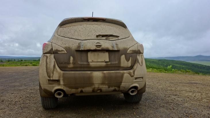
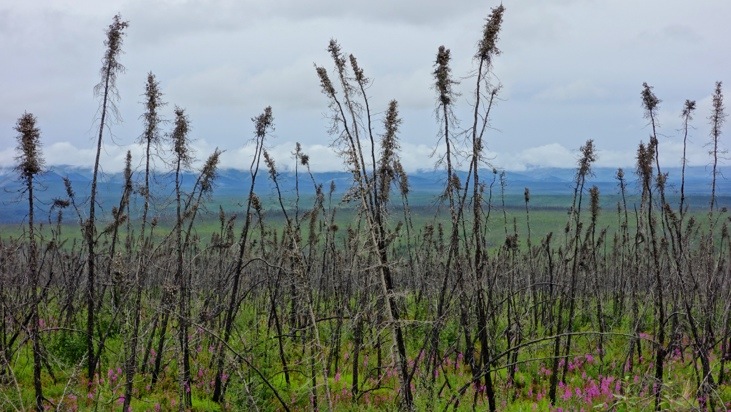
Dempster really collected his toll that day…
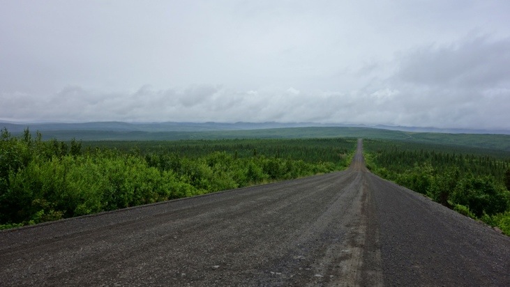
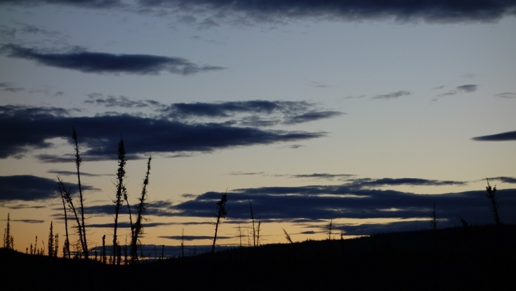
We kept heading south and hoping the best while the countryside slowly transformed from the beast back to the beauty.
With the clouds blocking the street it almost seemed Dempster did not yet want to let us go…
From a distance we passed the now beautifully illuminated Tombstone mountain.
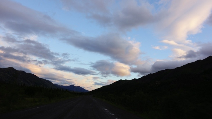
Before we finally had solid tar pavement under our tires again. We really were relieved at this point!
And we took off into the night heading to the next campground.
P.S. Perfect music not only for roads like this are the “Greatest Hits of Gordon Lightfoot”, a Canadian singer-songwriter and the soundtrack of Ennio Morricone.
P.P.S. We washed off tons of mud from our car. Most of it sticking to the bottom and the tires. Car wash took almost 1 hour and cost 30 $…


P.P.P.S. After all we would still recommend traveling Dempster Highway because of the beautiful scenery, however only if it does not rain (and of course with the proper vehicle and equipment). A dry Dempster is still adventurous enough!
This entry was posted in North-America, WorldMap and tagged Music, Road Trip, Scary
Leave a Reply
You must be logged in to post a comment.