22.07.2013Scenic Klondike Highway to Skagway
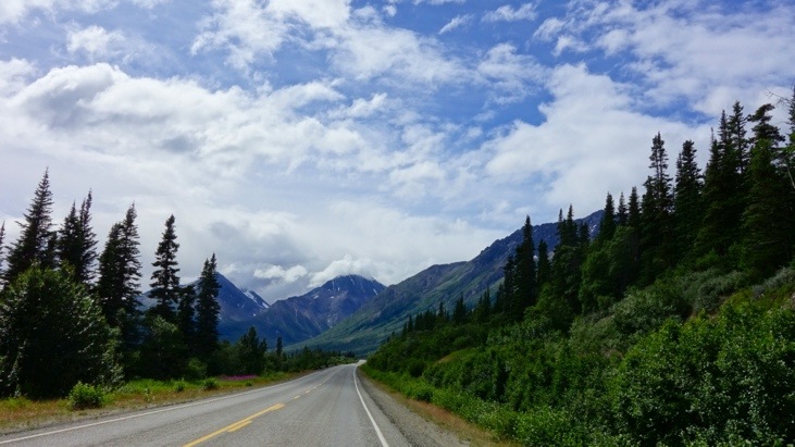
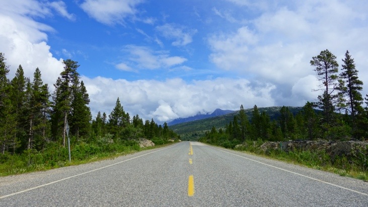
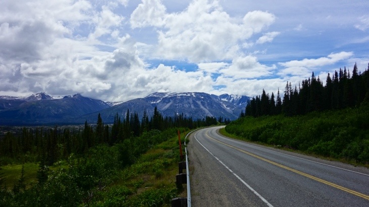
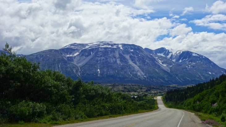
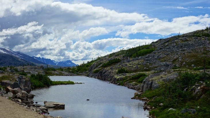
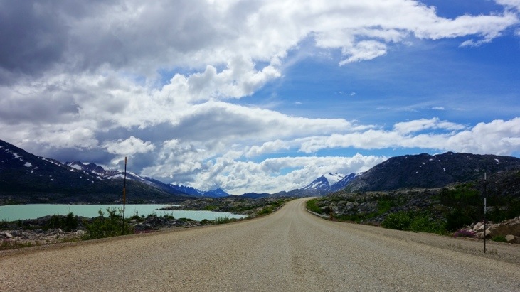
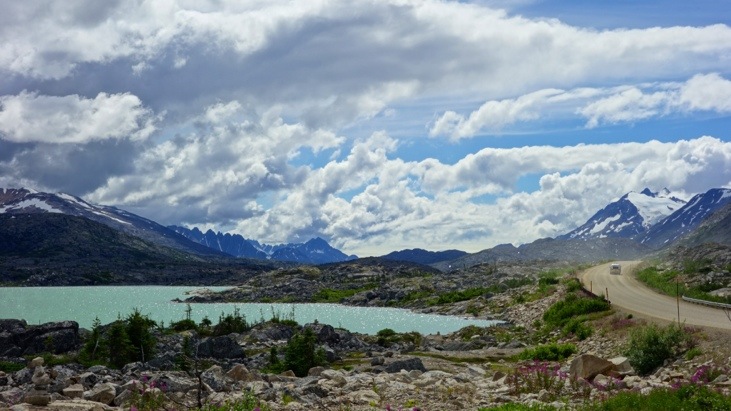
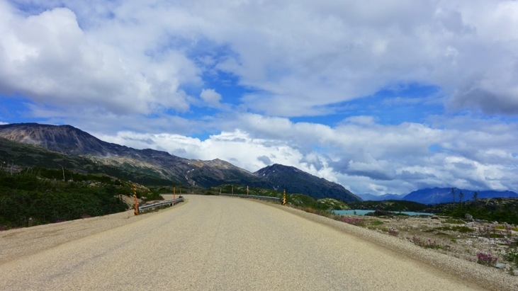
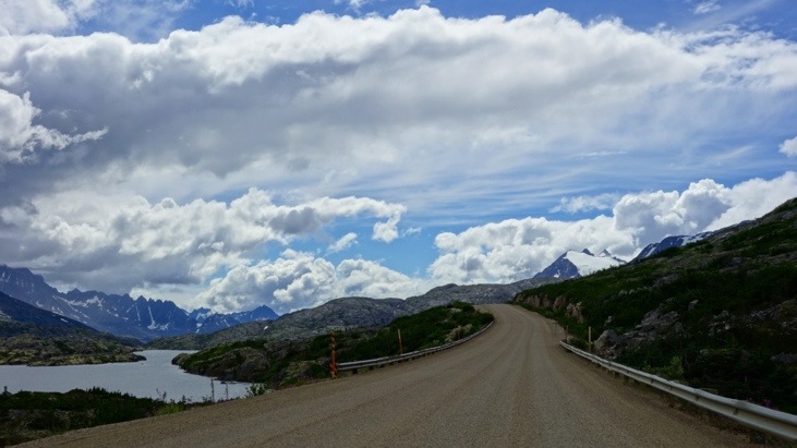
About 20 km south of Whitehorse the common part of the Alaska and Klondike Highway ends and later leads southwards to Skagway. This 160 km part of highway is considered to be one of the most beautiful scenic roads of Canada’s north.
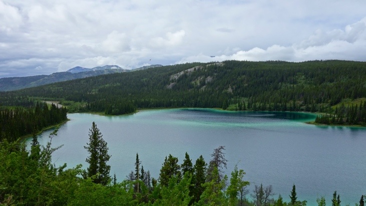
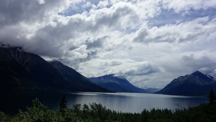
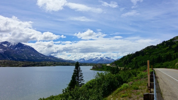
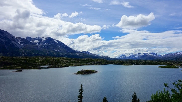
One of the passing sights is Emerald Lake which is famous for its turquoise colored water created by sunlight reflecting off a white layer of “marl” (calcium carbonate clay) on the lake bed.
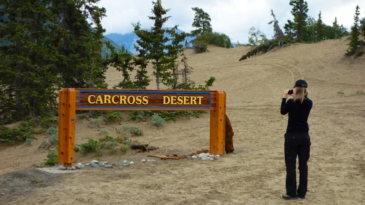
And as they claim, one of the worlds smallest deserts located at Carcross.
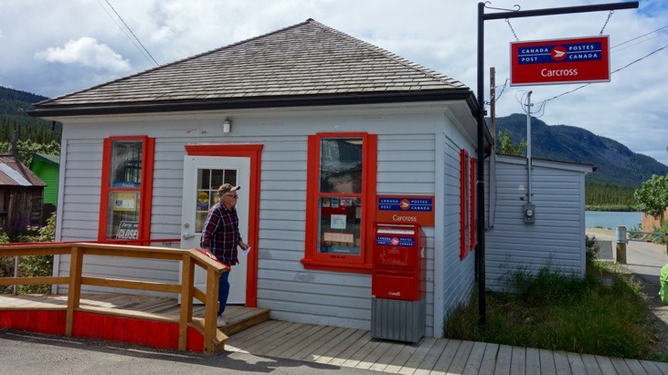
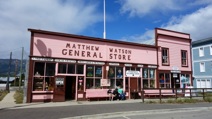
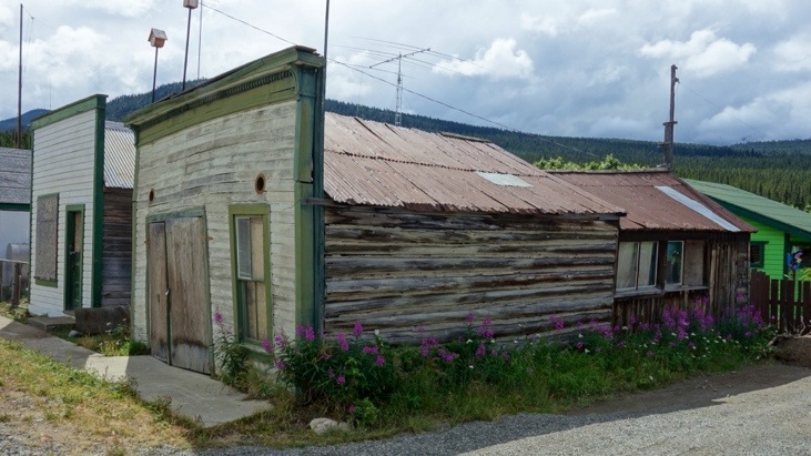
In Carcross there are few historic buildings, some of them still in use today.
In any case they have a great visitor center in which we met Dagmar. She grew up in Munich and seemed extraordinarily happy to have somebody to speak German to. She gave us several very useful maps from under the counter and almost an entire tour of Skagway, even before we got there!
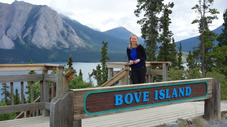
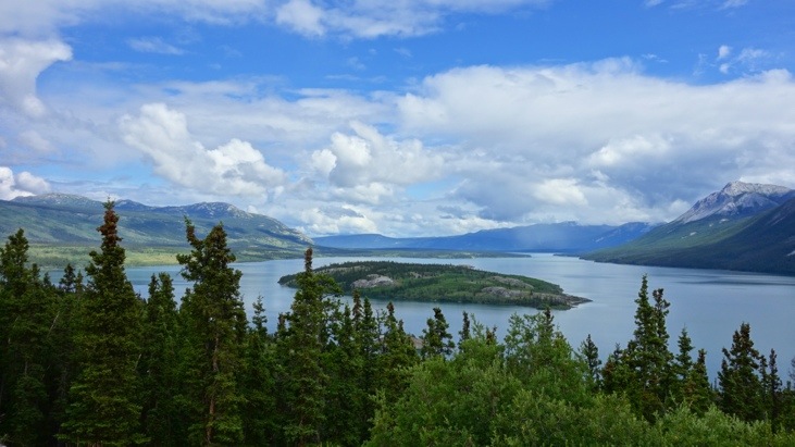
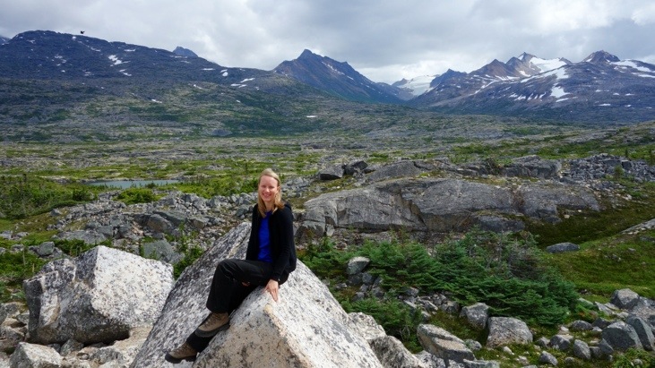
Also the rest of the drive was very scenic and the cloudy sky did its best to create an amazing atmosphere, without raining one single drop!
Towards the end of the highway the road crosses the boarder back to Alaska. A funny incident we keep having at the Canadian/U.S. boarder is that our chopped up firewood regularly gets confiscated by the Americans. We keep borrowing an axe from our friendly camp site neighbors to chop up free firewood in Yukon/Canada which we use to start our campfires. Every time we cross the boarder to the U.S. the patrol seizes it, forcing us to chop up more wood again.
In their defense we must state that in the mean while we have found out that they are afraid of importing a Canadian wood bug and are not just trying to avoid having to chop up their own firewood… 😉
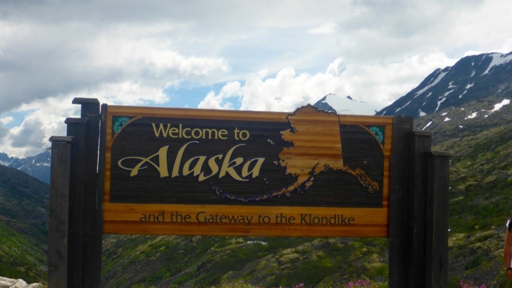
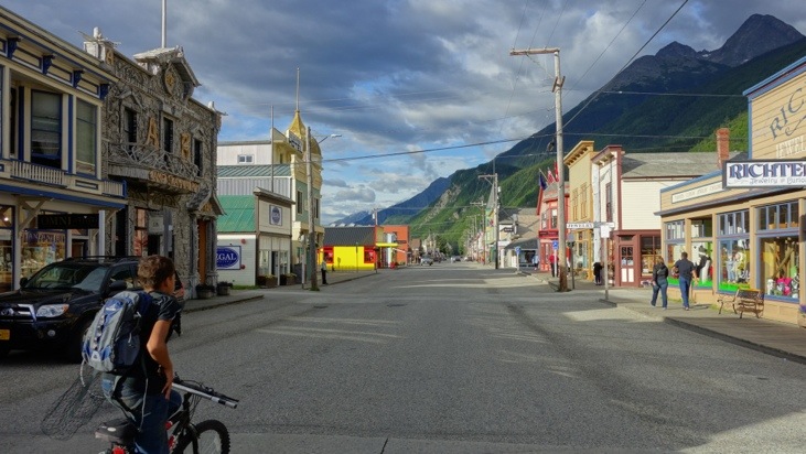
From the boarder we then descended down to Skagway.
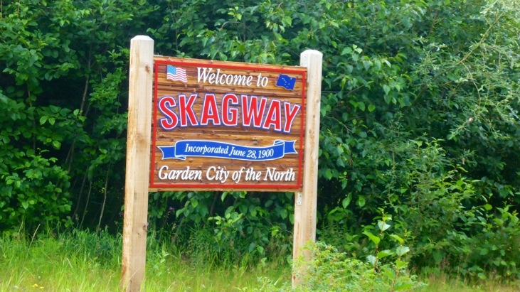
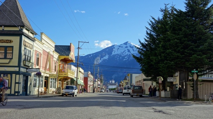
Since the port of Skagway is a popular stop for cruise ships, Skagway’s inhabitants of only around 900 has to deal with more than 900,000 visitors a year.
Back in the time before the Klondike gold rush the boundary between Canada and the United States along the Alaska Panhandle was only vaguely defined. Canada requested a survey, but the idea was rejected by the United States as being too costly considering the area’s remoteness and limited economic or strategic value.
All of this changed when in 1896 gold was found in the Klondike region of Canada’s Yukon Territory.
On July 29 of 1897 the first boat load of prospectors arrived in Skagway and more ships brought thousands of hopeful miners into the new town from where they prepared for the 500 mile journey to the gold fields in Canada.
During this time the population increased enormously and reached 8,000 inhabitants with approximately 1,000 prospective miners passing through town each week. Within weeks, stores, saloons, and offices lined the muddy streets of Skagway.
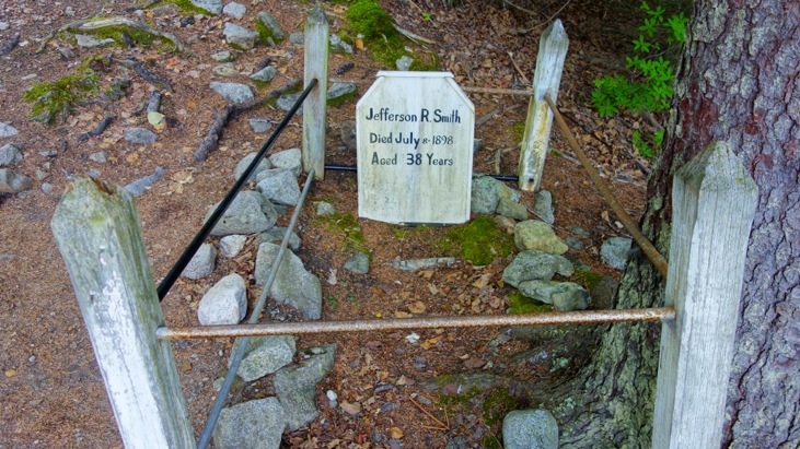
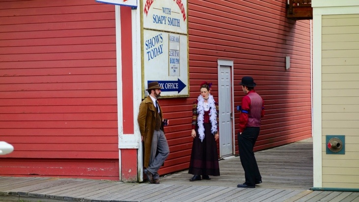
At this time the unscrupulous Jefferson Randolph “Soapy” Smith controlled the lawless Skagway. Fights, prostitutes and liquor were ever-present on Skagway’s streets. The most colorful resident of this period was Soapy Smith. He was a sophisticated swindler and scammed prospectors with cards, dice, and the shell game. His telegraph office charged five dollars to send a message anywhere in the world. Prospectors sent news to their families back home without realizing there was no telegraph service to or from Skagway until 1901. Smith was shot and killed by Frank Reid in the famed shootout on Juneau Wharf in1898. Smith managed to return fire and Frank Reid died from his wounds twelve days later.
This and few other stories are nicely documented at Skagway’s gold rush cemetery.
And it’s not a big surprise that this famous shootout is still performed in Skagway today.
Comments
Leave a Reply
You must be logged in to post a comment.
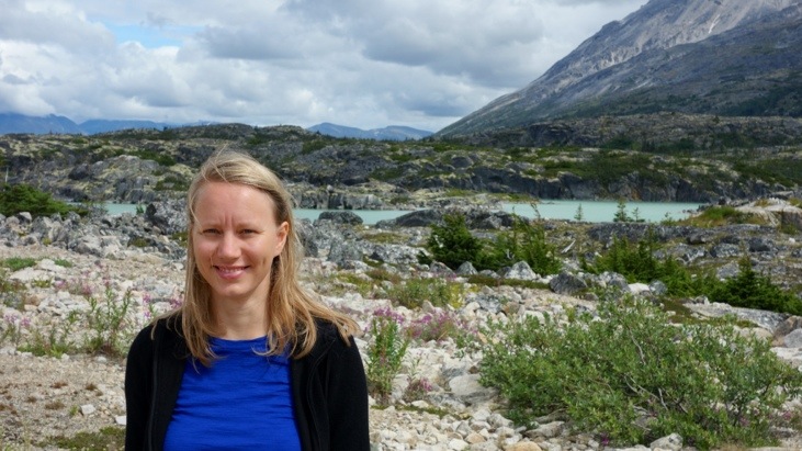
To be honest I like the pictures most with you both looking happy .. but the other pics are great as well!