18.10.2013The Worlds Most Dangerous Road – By Bike
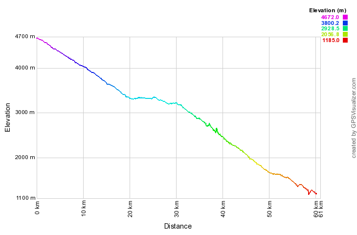
Riding a bicycle down the worlds most dangerous road (WMDR) is a must for bike enthusiasts, adrenaline junkies and nature/scenic vista lovers! Over a distance of more than 60 kilometers and past some of South Americas most dramatic and beautiful scenery the road leads from snow-covered high-altitude plains (4700 m) down to steaming Amazonian jungle (1100 m).
Alternatively known as “Camino de la Muerte”, “Grove’s Road”, “Coroico Road”, “Camino de las Yungas”, “Road of Fate” or simply “Death Road” it is legendary for its extreme danger and in 1995 the Inter-American Development Bank christened it as the “World’s Most Dangerous Road”. One estimates that 200 to 300 travelers have been killed yearly along the road in the past.
Here the interactive route we recorded with our GPS device:
And the altitude profile documenting the nearly 3600 m decent:
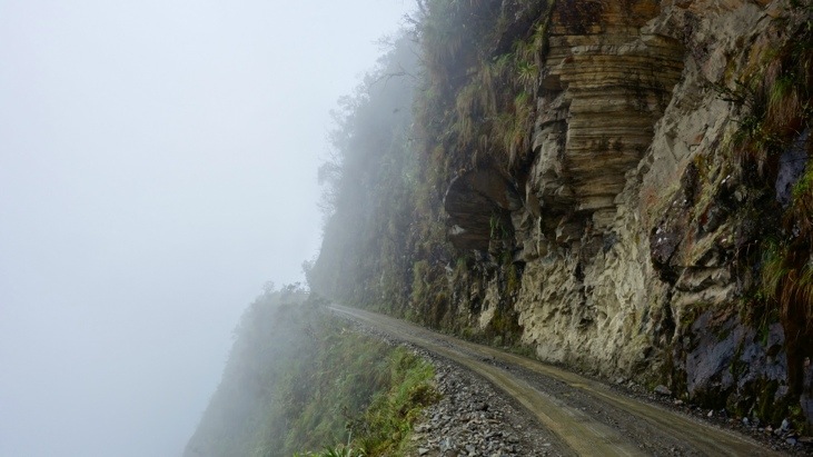
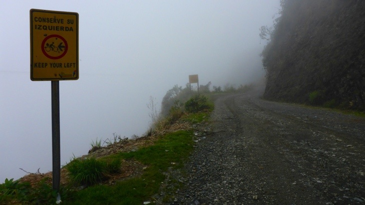
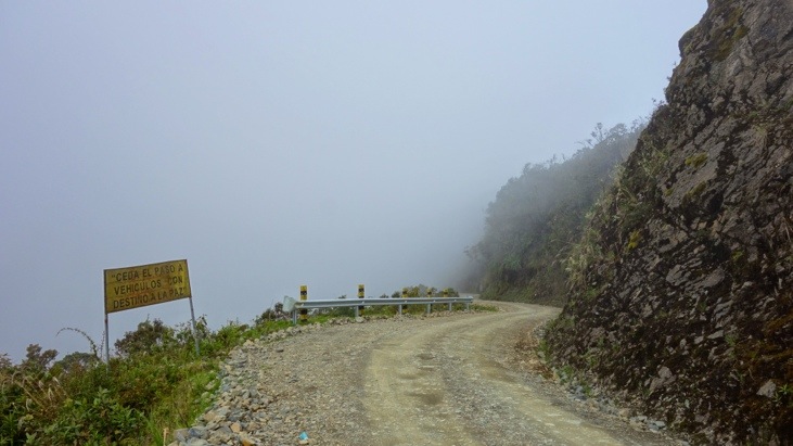
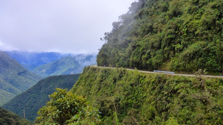
The largely single-lane road has hardly any guard rails and cliffs of up to 600 meters depth. Most of the road is about 3 meters wide, the width of a single vehicle. During the rainy season from November through March, rain and fog severely hamper visibility, and water runoff can turn the road into a muddy track. In the summer, rockfalls are common and vehicle dust limits visibility as well.
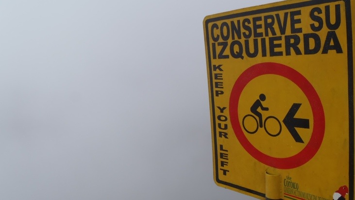
One of the local road rules specifies that the downhill driver never has the right of way and must move to the outer edge of the road. This forces the faster downhill vehicle to stop, so that passing can be “safely” negotiated. Unlike the rest of Bolivia, vehicles are required to drive on the left side of the road, to give the driver a better view of the vehicle’s outside wheel and making passing safer.
The road was built in the 1930s during the Chaco War by Paraguayan prisoners and modernized by building a new section which bypasses the most dangerous sections of the old “Death Road”. This new route is considerably safer than the original route and the original “Death Road” is currently much less used by traffic, although an increasing number of adventure travelers (like us) bike it for the thrills… 🙂
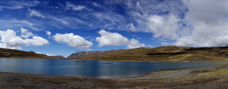
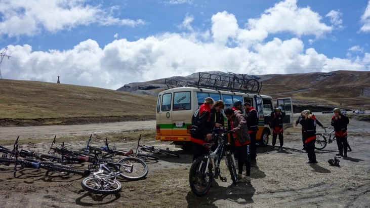
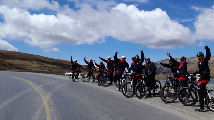
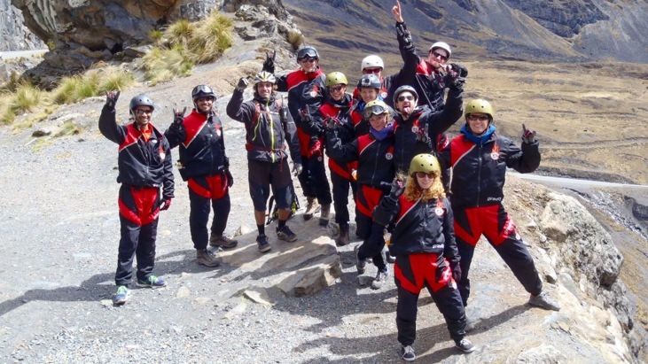
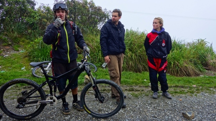
We chose a reputable tour agency (gravity assisted mountain biking) providing the bikes and two experienced guides. The adventure started out early in the morning with the bus driving us up into the Andes to La Cumbre pass where we began our adventure ride.
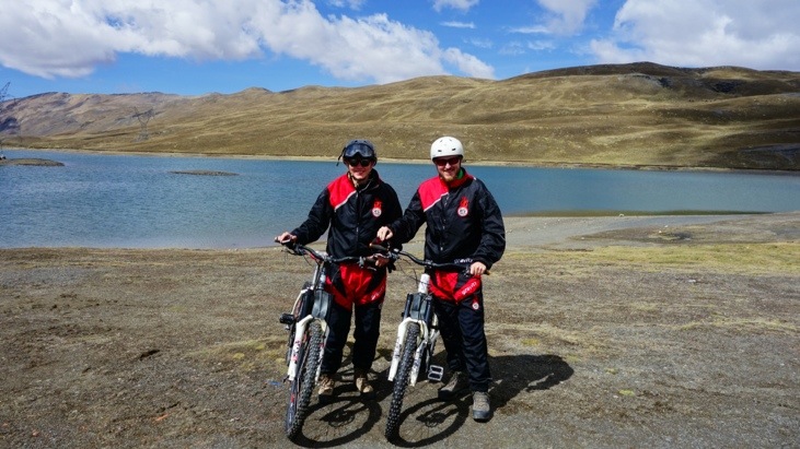
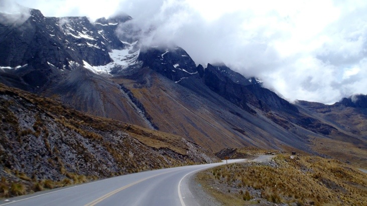
Once we arrived we had a short moment to enjoy the view:
Then we received our wind and dirt protection suits and started unloading the bikes.
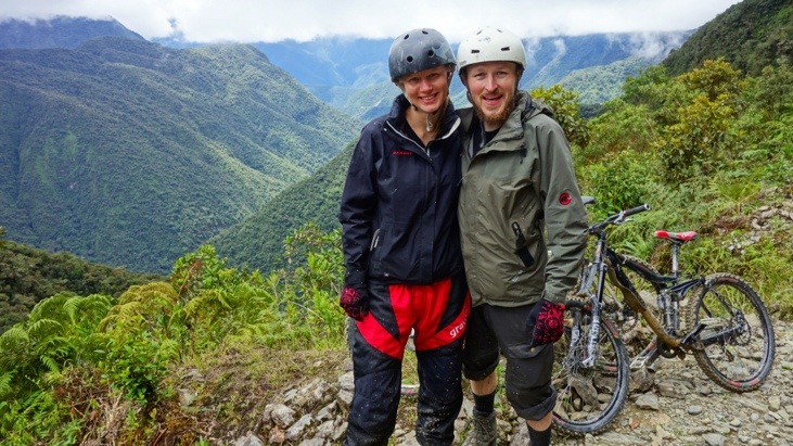
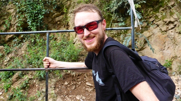
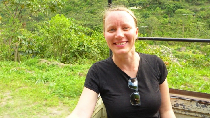
There we are, ready to rumble 😉
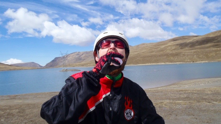
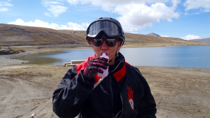
To calm Pachamama (mother earth) and ask for good luck we pored a small sip of 96% alcohol over our front tire and then a small sip down our throat. The taste was terrible and it almost burnt a hole down our esophagus, but who wants to start off without the blessing of Pachamama?!
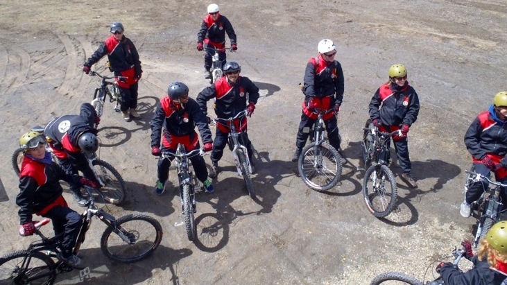
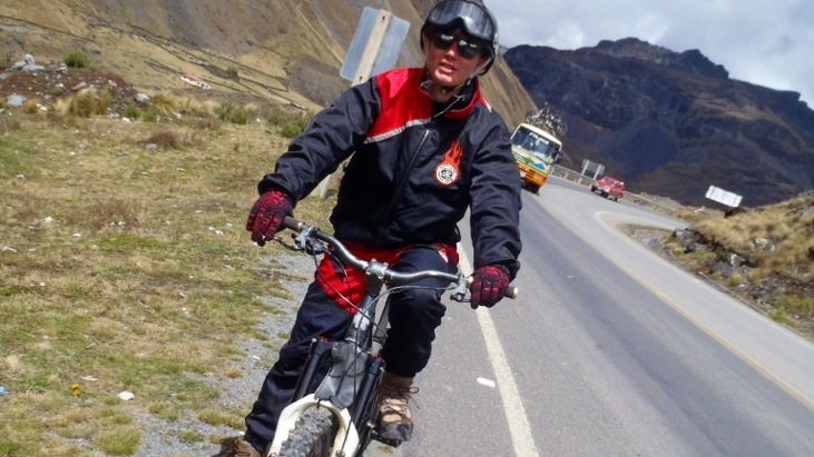
After receiving safety and road instructions from our Brazilian guide Rapha our group was finally ready to start:
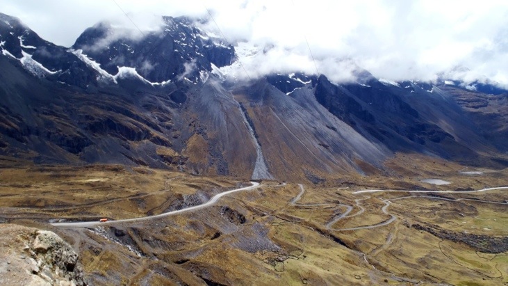
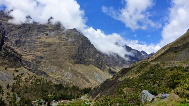
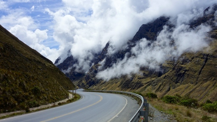
The ride started on an asphalted road into the valley with a fantastic view of numerous snow-covered peaks.
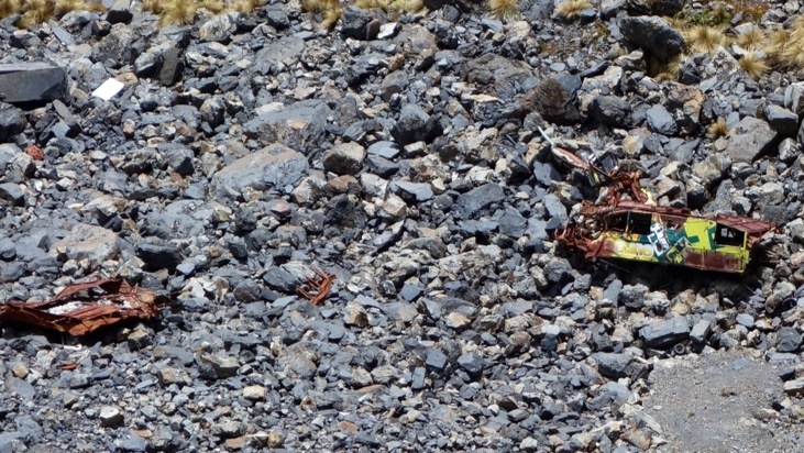
At the first stop Rapha showed us a bus wreck, that didn’t make the corner some years ago…
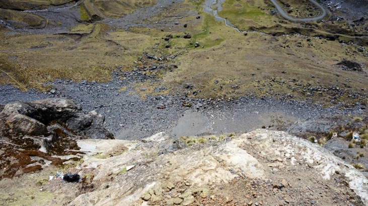
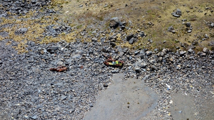
Nobody survived that plunge down an almost vertical and several hundred meter cliff…
We didn’t let that ruin our mood or scare us too much…
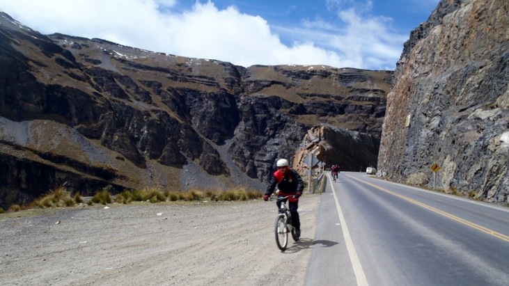
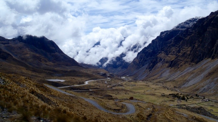
and kept following the winding downhill road…
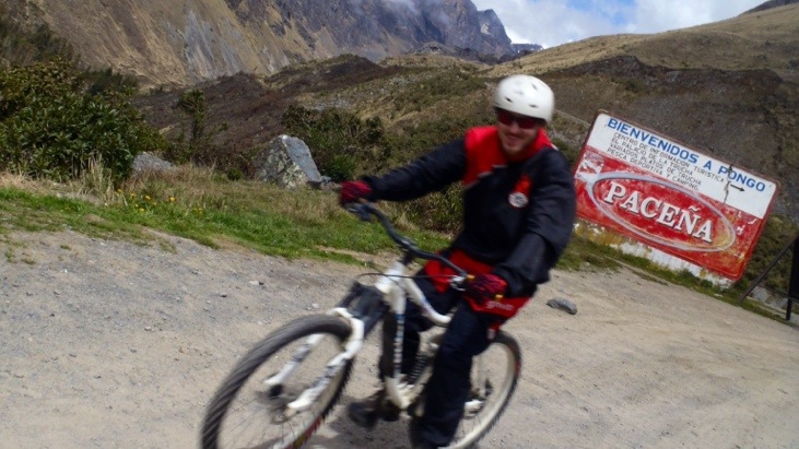
Never a good idea, to drink and drive. Especially on this road! However the beer company Paceña still thinks it a good idea to place advertisement along this road…
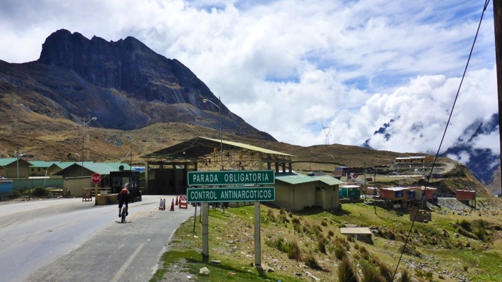
Eventually we arrived at a drug check-post! The valley we were about to enter is the second largest producer of coca leafs, which are legal in many parts of South America. The check-post should ensure that no chemicals or equipment necessary to produce cocaine arrives in the valley.
After a short but slightly uphill section which turned out to be quite challenging at an altitude of 3300 m, we arrived at the beginning of the unpaved section. The weather had now already changed to a foggy mist.
Since entering the jungle is the most challenging part of the ride, we received more instruction on how to tackle this section best from Rapha:
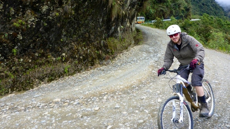
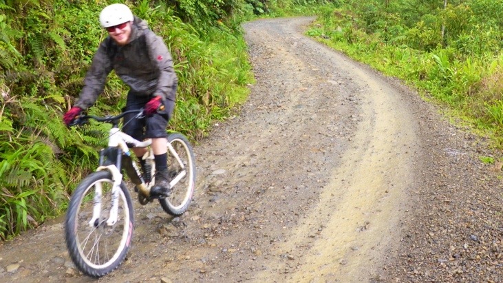
Then we took off on this bumpy road on our full suspension bikes …

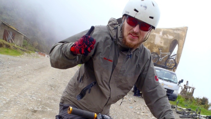
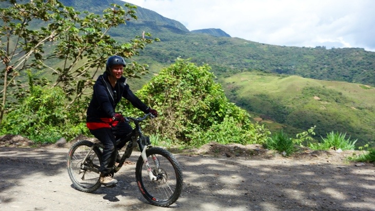
Andy looking forward to the fun:
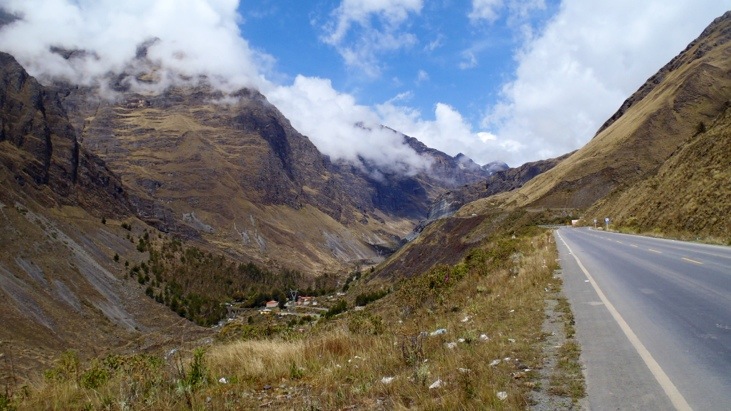
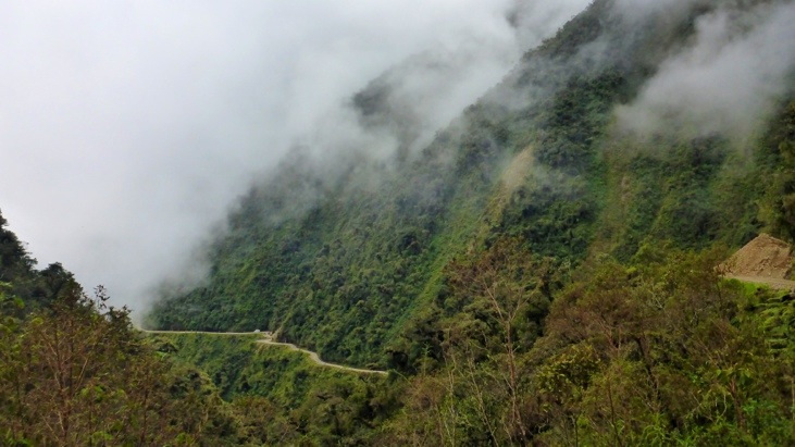
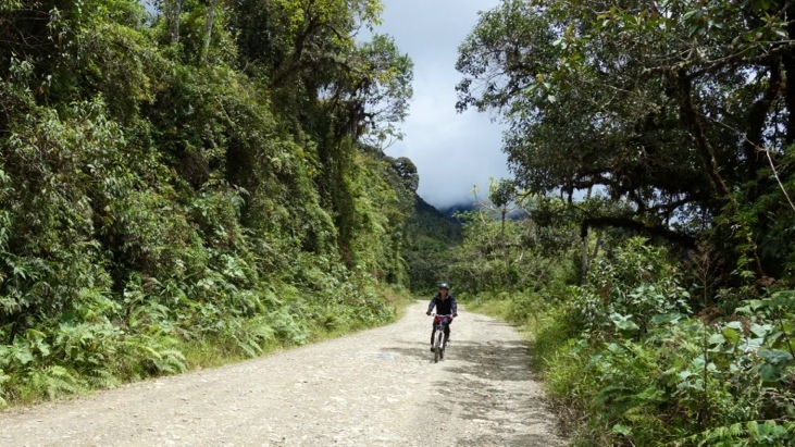
Off we road into the scenery of towering cliff faces, dramatic drops and ever green vegetation…
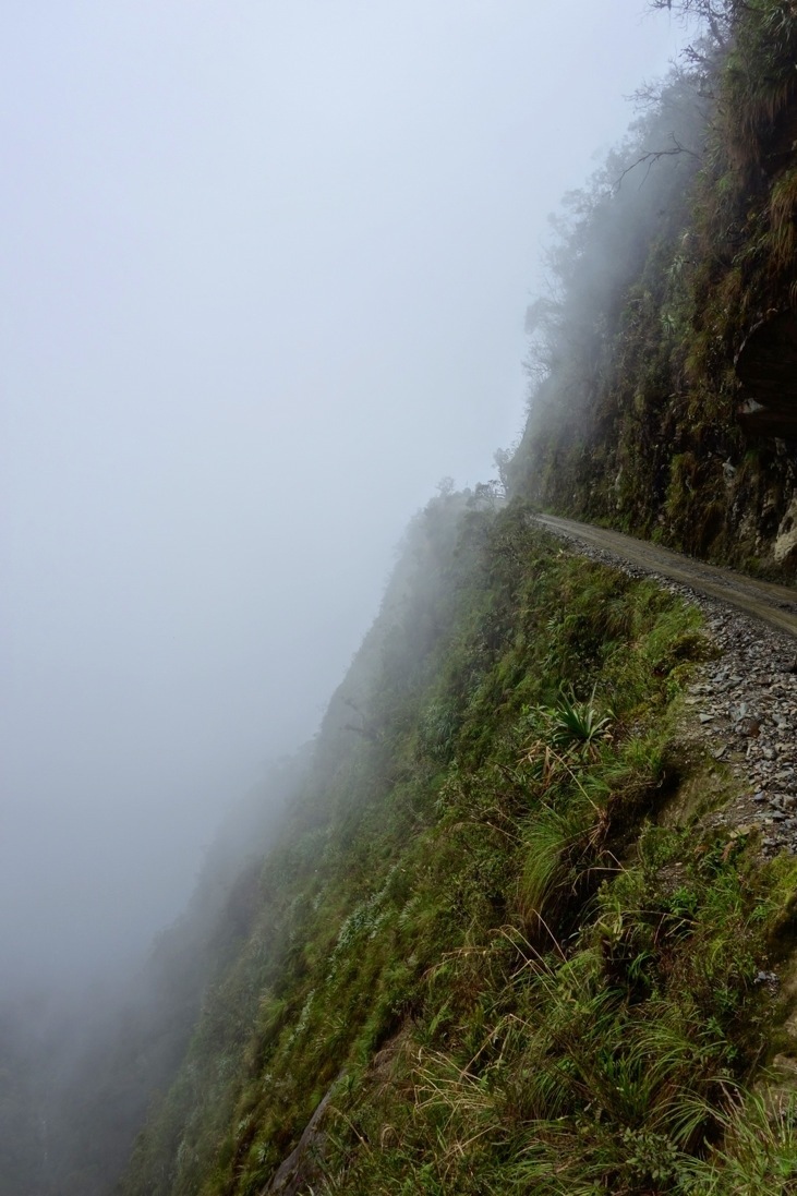
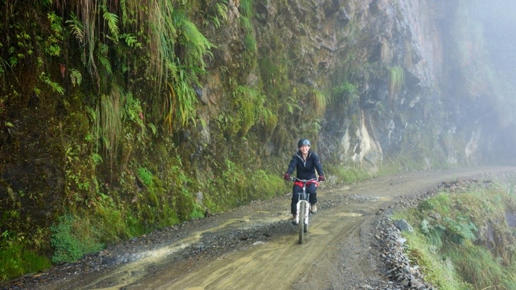
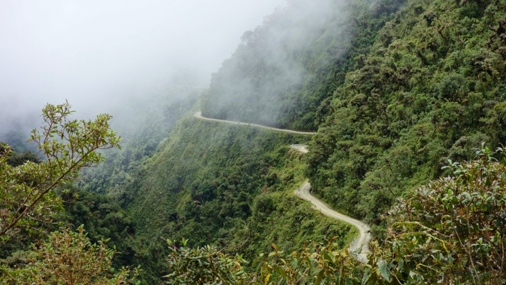
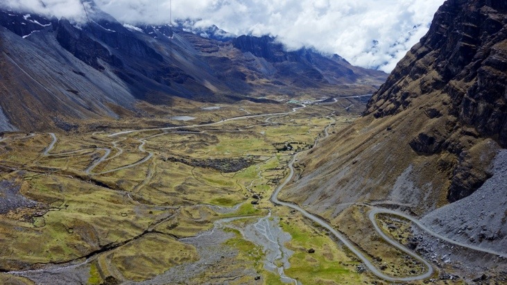
Amazing how this narrow dirt road is cut precariously into the side of the mountain with steep drops and hulking rock overhangs.
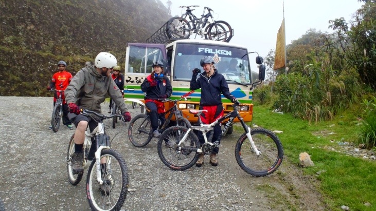
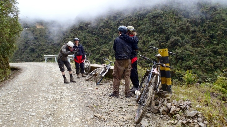
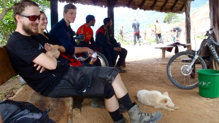
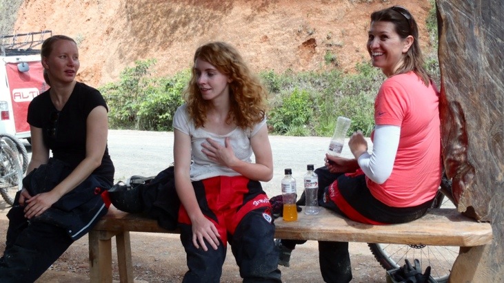
Every once in a while we stopped for a short break to take some pictures or let vehicles pass.
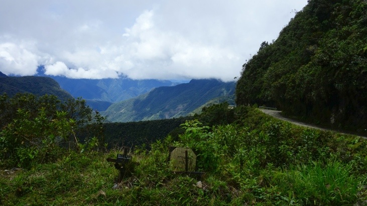
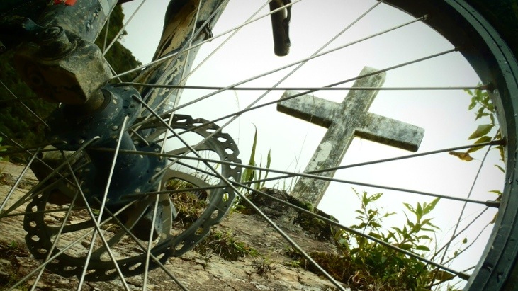
Some of the crosses lining the sides of the road…
The road had muddy and wet sections:
As well as dry and dusty ones:
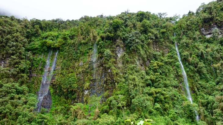
We passed cascading waterfalls, rode through clouds of mist, fog, low hanging clouds and always a lot of dust. Some of the waterfalls we did not only pass, but rode right through them:
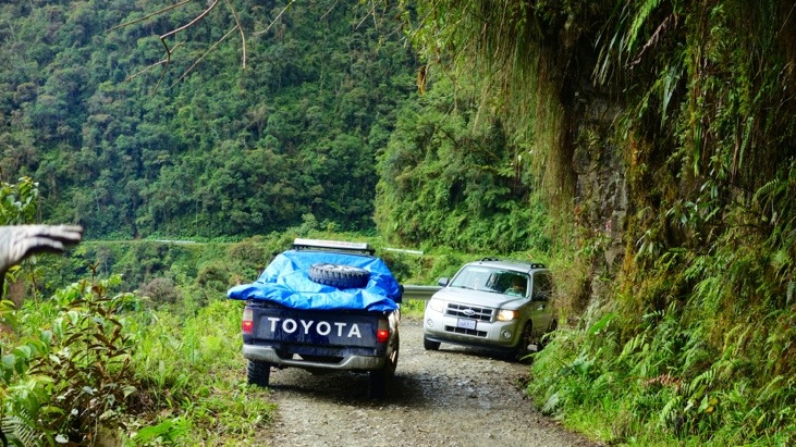
One of those wider parts of the road where two vehicles manage to pass each other:
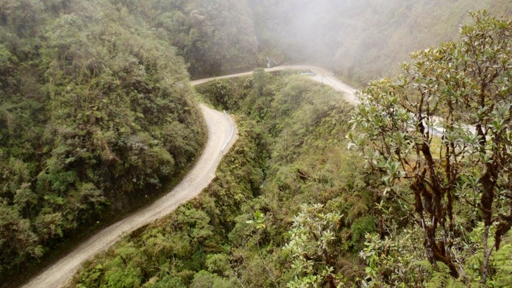
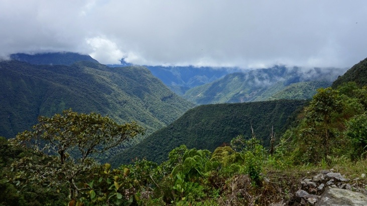
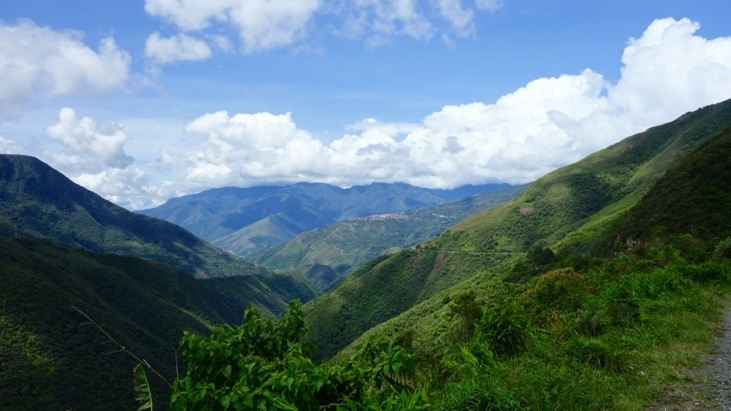
And as we descended the visibility improved and we had great scenic view of the valley:
Our guide Rapha racing ahead:
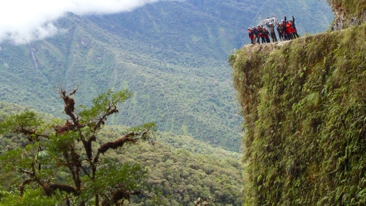
Our last break before reaching Yolosa, the village at the end of the road.
Interestingly more women than men participated in the ride! Who would have thought?
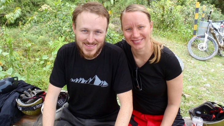
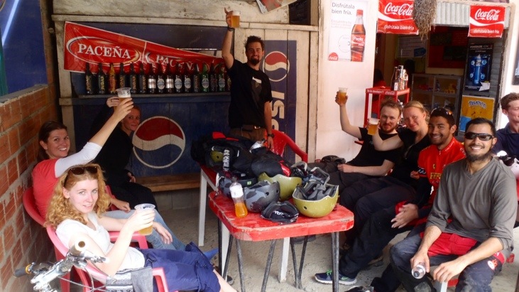
And finally in Yolosa we had a cool beer to wash down the dust and replenish our bodies water budget:
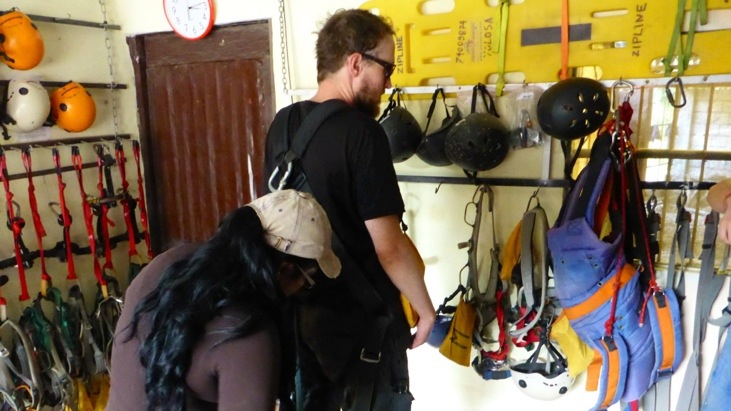
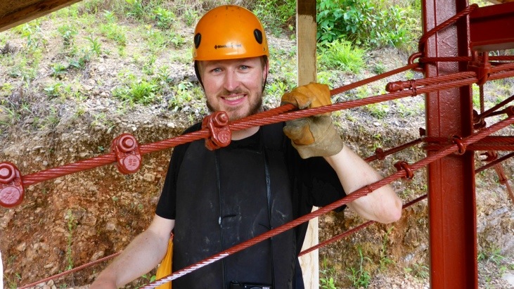
But our adventure wasn’t quite over yet, as we had decided to also go for the jungle ZipLine! Here Andy is getting bridled with all the belts and harnesses for the ZipLine adventure:
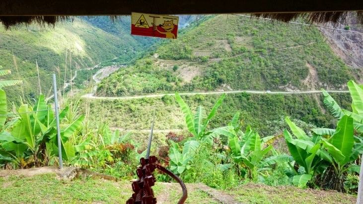
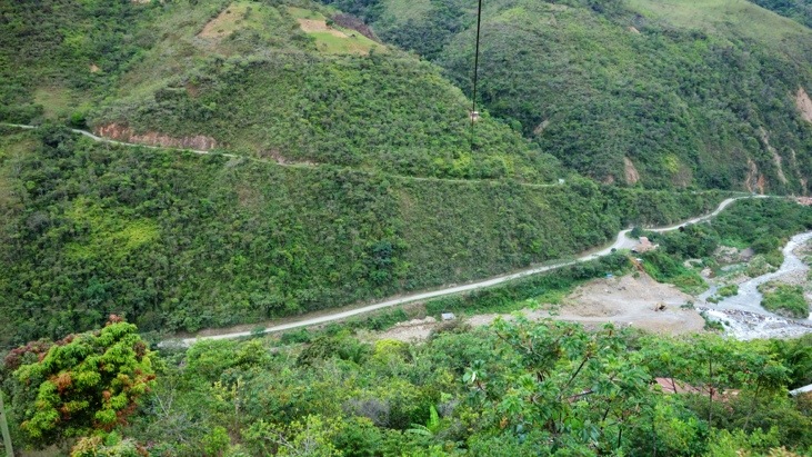
Then we drove up the road again to the starting point of the ZipLine. The Zipline speeds up to 85 km/h and traverses a total of 1555 meters which is divided into three sections.
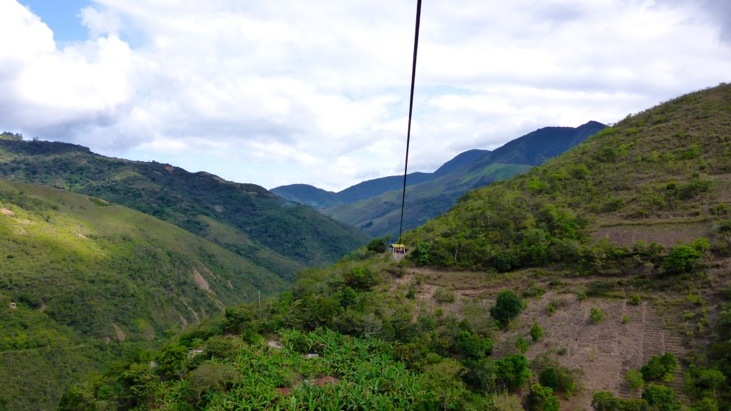
The view over the valley from the first station:
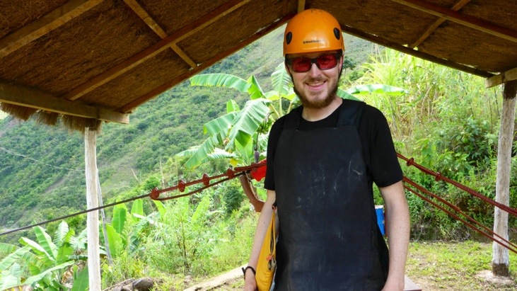
Andy ready for the first ZipLine take off:
Tini’s view from “along the way”…
Here a video of the flight over the valley:
ZipLining almost feels like flying when you zip through the air with the landscape whizzing by underneath you. So it no surprise Andy can’t wait to start the second ZipLine:
The second flight crosses the valley and the river and is the fastest flight:
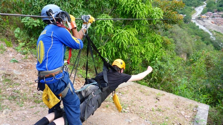
Getting ready for the superman launch on the last ZipLine:
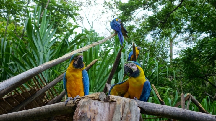
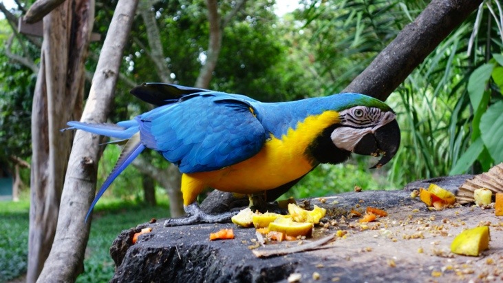
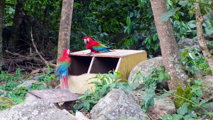
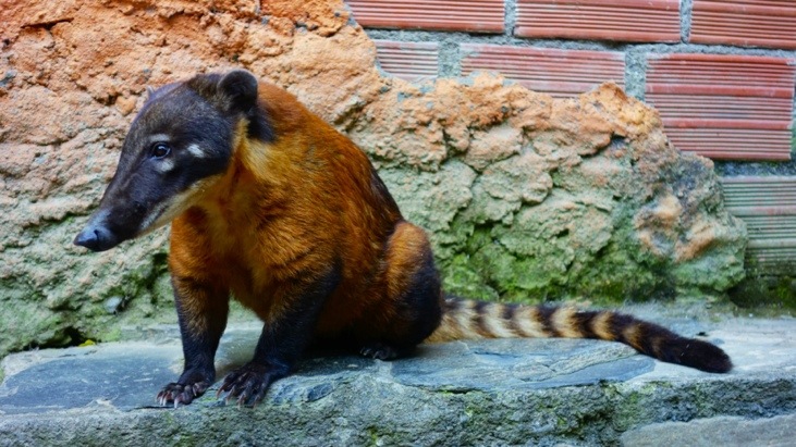
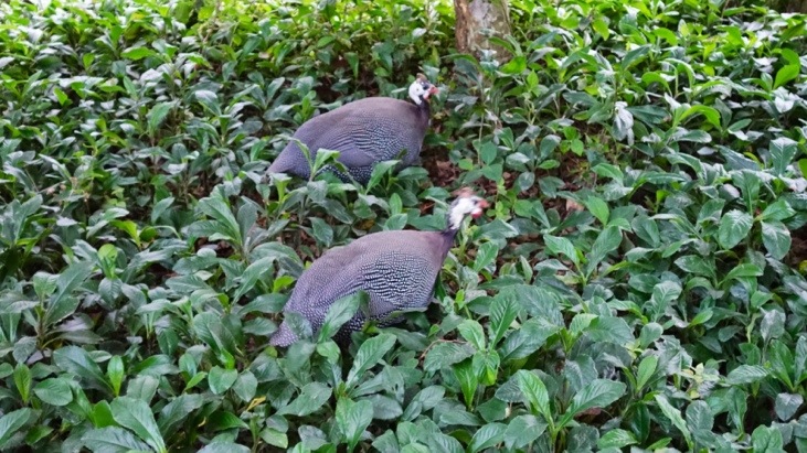
After arriving back in Yolosa we drove to the animal refuge La Senda Verde. Both of us were still pumped with adrenaline from this great experience:
In the sanctuary we had a salad and pasta dinner and strolled around watching the various animals that had been saved and are now taken care of in the sanctuary.

After dinner, watching the animals and a much needed shower we got back to the bus and headed back for La Paz. Almost needless to mention we were dead tired that evening!
But both the bike ride and the ZipLine were a lifetime experience we highly recommend both, if you ever happen to visit La Paz.
Comments
Leave a Reply
You must be logged in to post a comment.
You guys are really thrill seekers. Keep safe. Great blog.
Peter & Judie & Lucy Skye
This is one heck of a zip line!!
Cheers – CRB
My heart rate distinctly raised while reading this post >>> what a trip!
You two are going to give me a heart attack!
When I opened this blog, I said, “Don’t tell me they are going to ride bikes down the most dangerous road in the world.”
Uncle Peter then said, “Oh, and afterwards, they take a Zip Line ride.”
STOP!
You’re giving me heart palpitations…..xxo Aunt Judie