23.12.2013Meeting the Moai on Easter Island
Who hasn’t ever seen or at least heard of the monumental stone heads far away on an island in the middle of nowhere, constructed by an ominous culture? While everybody seems to have heard about them, fewer link the name Easter Island or Rapa Nui to them. Often that is about all one has heard about these mysterious stone heads.
When we chose the destination of our Round-The-World-Ticket (OneWorld Explorer) and saw that Rapa Nui is an eligible destination, we knew: Now is the time to visit this incredible place.
Please prepare yourself for a very history-heavy post as some background information is necessary in order to appreciate the moai beyond just being a bunch of awfully-large stone heads… 😉
Zooming in on Easter Island in Google Maps, we quickly understood why it is named the “most isolated inhabited island in the world”. To the east it is separated by 3770 kilometers from Santiago de Chile and to the west by 4230 kilometers from Tahiti.
In fact there are two islands competing for the title of being the most isolated inhabited island in the world. One of them is the island “Tristan da Cunha” in the South Atlantic Ocean. It is only 410 kilometers from the island of Gough on which a South African Antarctic research station is home to 6 meteorologists. However if you don’t consider those 6 meteorologists on Gough as an inhabited island, it is 2’430 kilometers distant to the nearest inhabited island and wins the title.
The other most isolated inhabited island in the world is Easter Island, with the closest inhabited island being Pitcairn Island at 2’086 kilometers distance. Interesting fact is that Pitcairn Island is even nowadays only inhabited by around 50 people which are nearly all descendants of Fletcher Christian and the other mutineers of the HMS Bounty from 1789!
Once we arrived on the island we did not even bother to unpack. We straight away headed for the Fisherman’s Wharf of Hanga Roa where we saw our very first moai (= statue; moai is pronounced: mo-eye) sitting on its ahu (= platform). It was brought from the interior of the island and only erected here in 1938, but that did not matter in this moment:
The islands makeup is entirely volcanic and was formed by three separate volcanic eruptions between 3 million and 750’000 years ago.
Archaeological, linguistic and human genetic data prove many other theories wrong and show that the first humans to reach Easter Island came from another Polynesian island (Marquesas or Austral Group), sometime between 600 and 900 AD. Time wise this coincides with the arrival of the first settlers in Hawaii. These first settlers of Rapa Nui had traveled a distance of over 2’000 miles and brought everything necessary with them to start a new society on this uninhabited island. Voyages with reconstructed Polynesian boats show that a journey of this extent was possible in around 20-25 days. Back then up to 70% of the island surface was probably covered with palm trees and edible plants, as well as an abundance of seabird and fish.
Ancestor worship was common throughout Polynesia and based on the idea that when an important person died, his or her mana or spiritual power continued to be effective and able to influence the outcome of events. No where else in Polynesia did the ancestral worship reach the extent or size as on Easter Island.
When the chief or important member of a tribe died, a statue was commissioned in the quarry at Rano Raraku and transported across the island and back to the village. Here the statue was erected in a way to overlook the village to watch and protect their own people. As the islanders became more skilled in the art of carving and transporting the stone statues, the size of the moai began to increase. The period in which the carving of the stone statues took place is approximately dated between 1000 and 1600 AD.
Having set out to find Terra Australis, the legendary continent in the southern hemisphere that was believed to balance all the land in the northern hemisphere, Jacob Roggeveen set foot upon the island in 1722. He gave the island the name “Paaschen Eyland” (Dutch for “Easter Island”) to commemorate the day on which they first sighted the island. The island’s official Spanish name, Isla de Pascua, also means “Easter Island”. The Polynesian name of the island is Rapa Nui which means “Big Rapa” and refers to the island’s resemblance to the island of Rapa in French Polynesia.
After nearly 50 years without other recorded visits a Spanish expedition arrived from Peru in 1770 and claimed the island for Spain. Four years later Captain James Cook anchored in Honga Roa bay, desperate for supplies and fresh water. They found neither on the desolate island and reported the island in an noticeably worse condition than the Spanish had four years earlier. It is believed that during these four years there had been heavy fighting between the different tribes and the majority of the statues had been toppled during these fights. The last standing moai was reported in 1838. All moai were eventually overthrown by humans and not by any natural disasters. Only from 1955 onward did archaeologists begin to restore and re-erect the toppled moais.
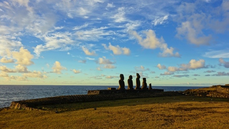
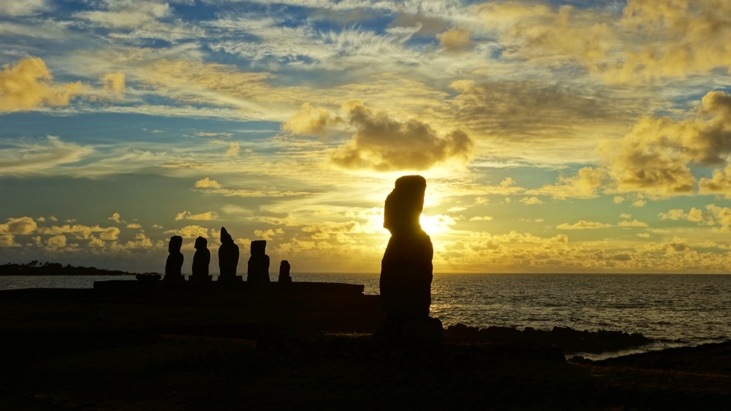
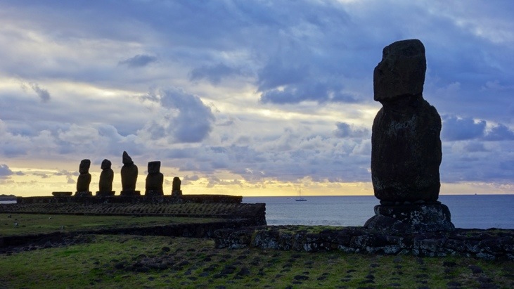
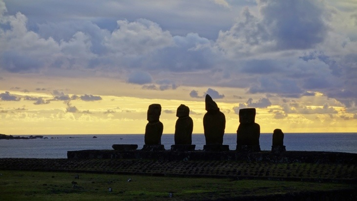
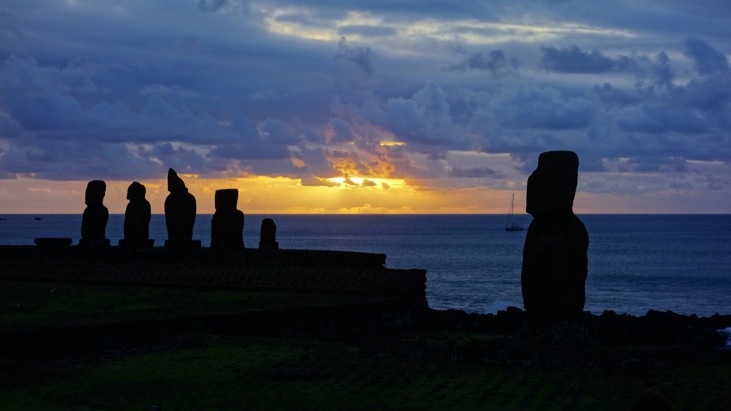
We continued up north to the supposedly best place to watch the sun set behind five mohai on the Ahu Tahai:
So why did the islanders over-through the statues that had been so sacred to their ancestors?
The main hypothesis is that it was due to the lack of resources on the island, which led to inter tribal wars in search of supplies during which the tribes also destroyed their enemy’s moai. This makes sense, since the village’s moai had been set up to protect their inhabitants. By throwing them over forwards, the moai’s face and particularly their eyes became buried and they lost any power the moai might have possessed.
Neighboring is the Ahu Vai Uri with a still well preserved head:
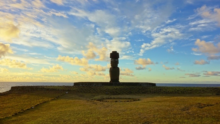
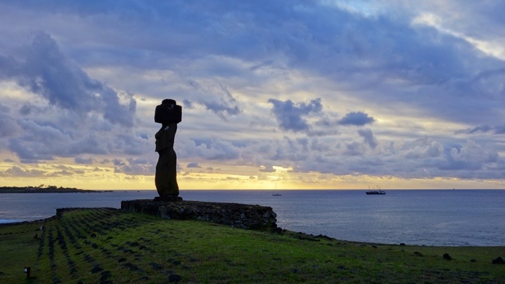
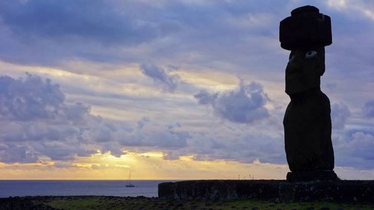
And to the very north, the third and most photogenic platform, Ahu Ko Te Riku. This Ahu supports a single moai with topknot and coral eyes!
The interesting part about the eyes is that only once the moai had been transported out of the quarry and erected on the Ahu the stonemasons would carve out the eye socket and the eyes opened. In this way the ancestor’s mana was revived and his spirit brought back to life. The sockets were carved at such an angle, that the eyes would look slightly upwards and into the sky.
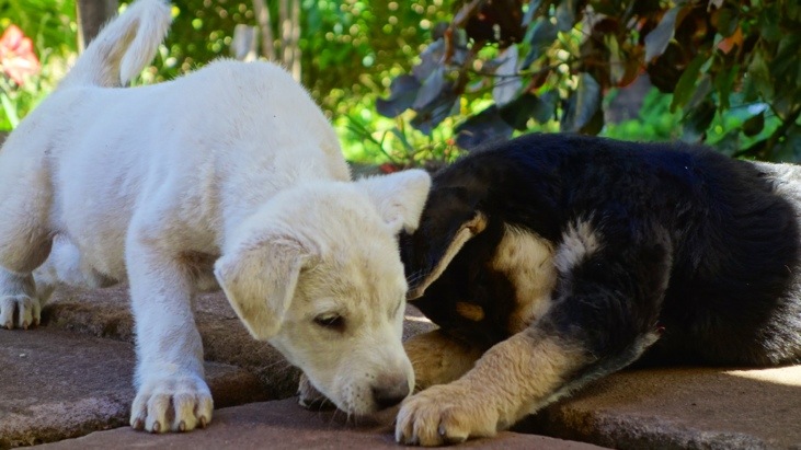
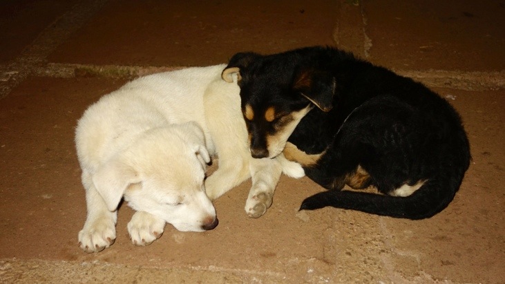
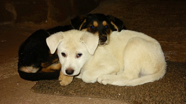
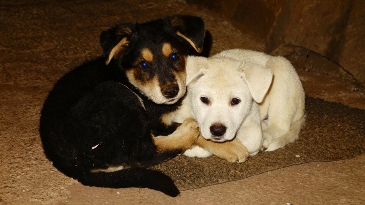
The next day we were introduced to Blanco and Negro, two young pups that kept themselves and everybody around them busy: 🙂
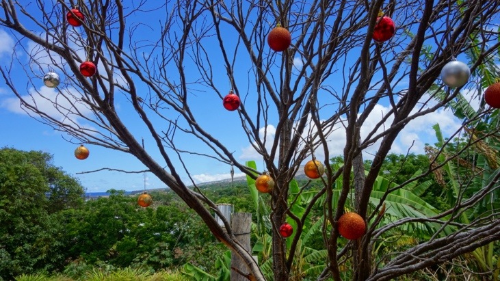
Christmas is getting closer, even if it doesn’t get very christmassy for us despite this Christmas tree in front of our hostel…
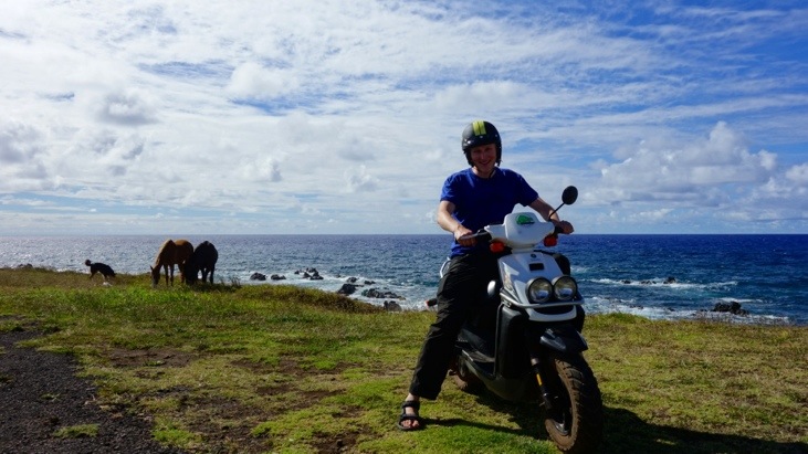
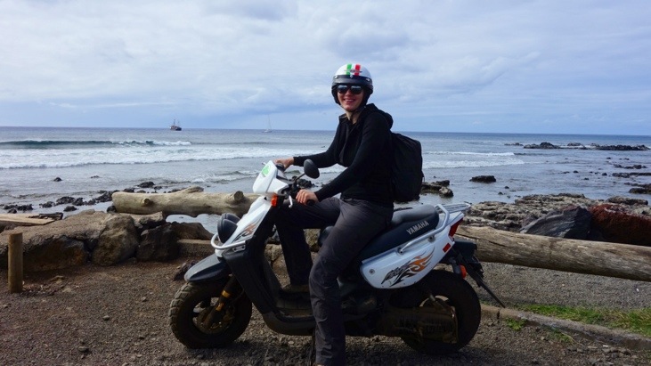
We realized that to explore the island a scooter is a great choice to quickly get to remote and sometimes difficult accessible ahu and moai sites. Also it is a lot of fun to whizz around the island… 🙂
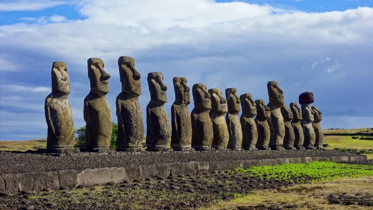
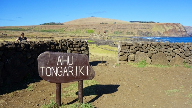
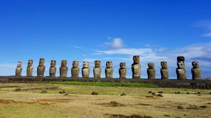
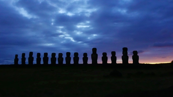
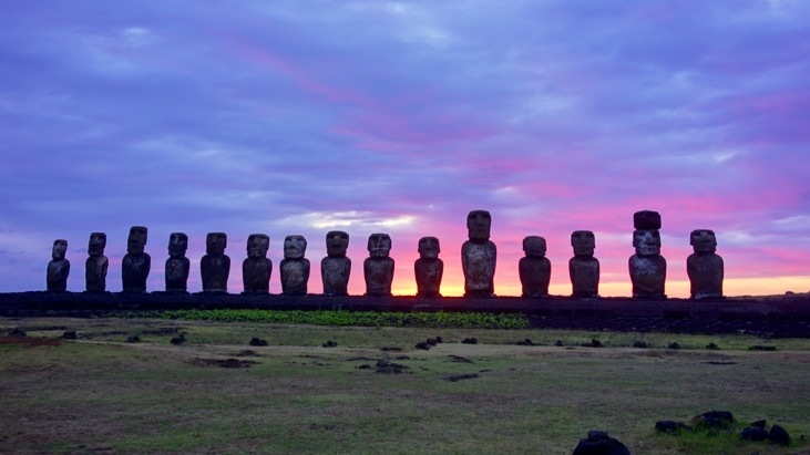
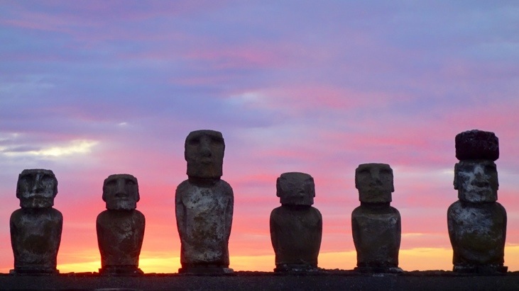
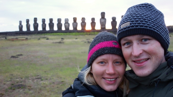
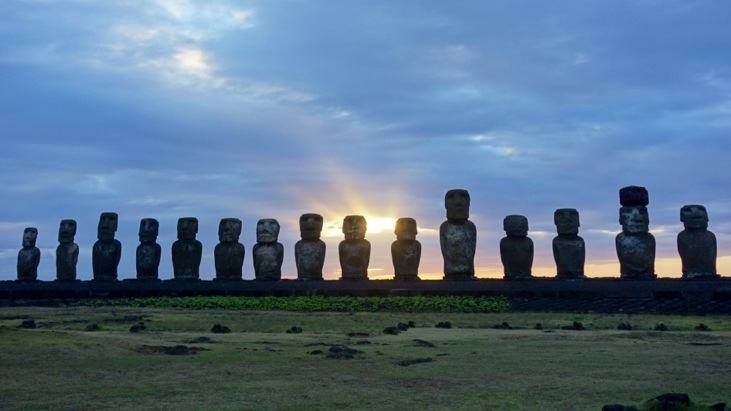
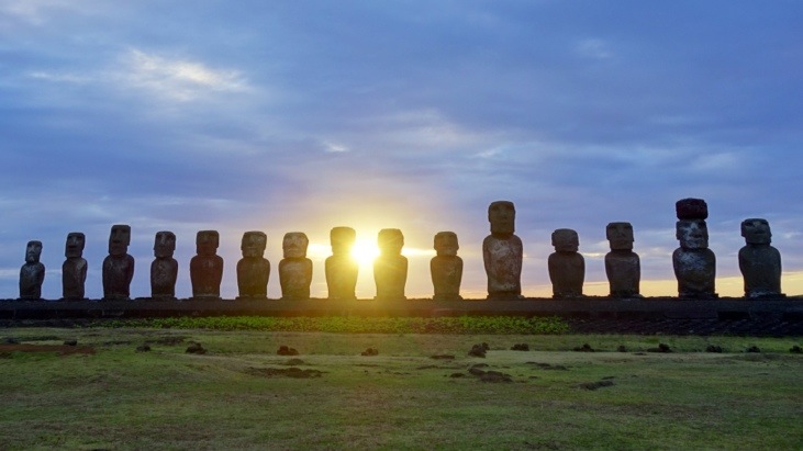
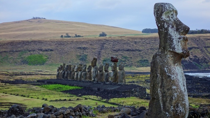
Without doubt the largest and most impressive platform is Ahu Tongariki adorned with 15 colossal moai and it is difficult to find adequate superlatives to describe this site:
Being the largest ceremonial structure anywhere in Polynesia with a length of 220 meters from end to end, this ahu represents the peak of the Rapa Nui stone carving period. The sheer effort and expense involved in creating such an extravagant ceremonial altar in those times is beyond belief…
And off we drove to the next site…
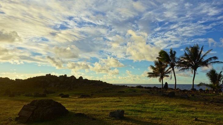
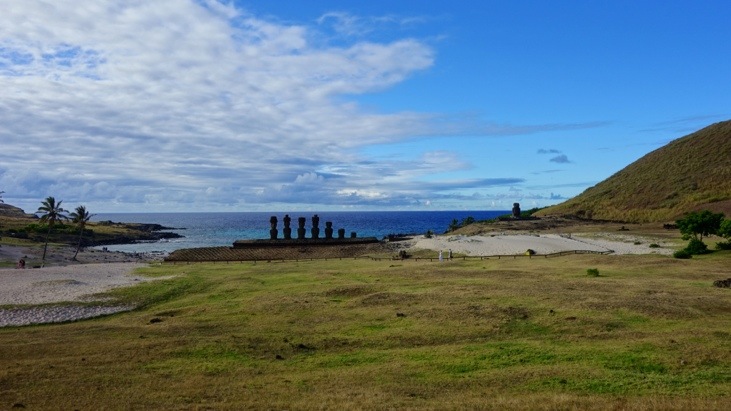
As north as one can go by scooter lies Anakena. Some 1300 years ago the first Polynesians landed in this protected bay. In the course of the island, Anakena would become one of the most significant sites and the religious headquarters of the royal Miru tribe:
The centerpiece of Anakena is Ahu Nau Nau, standing majestically at the top of the sand.
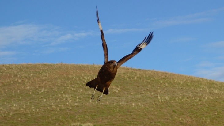
And hunting around the moai we got a great shot of the hawk-like bird Chimango Caracara. Interestingly it is not native to the island, but was introduced at the beginning of the last century to hunt the rodents. Without predators of their own their numbers kept steadily increasing.
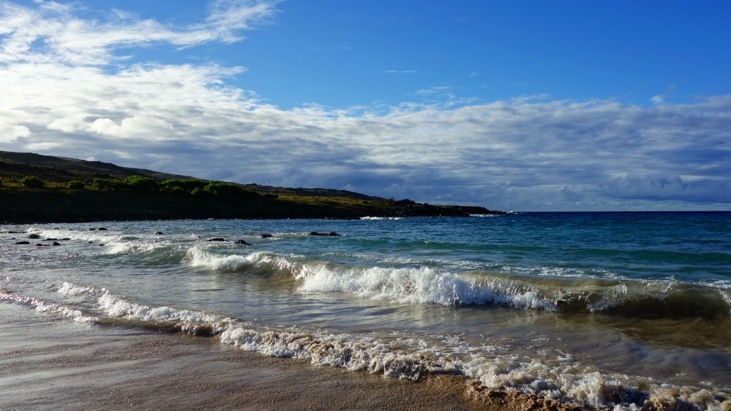
The beach at Anakena is just perfect for refreshing and washing off the dust of the road. With around 22 °C the water temperature was even not too cold for Tini 😉
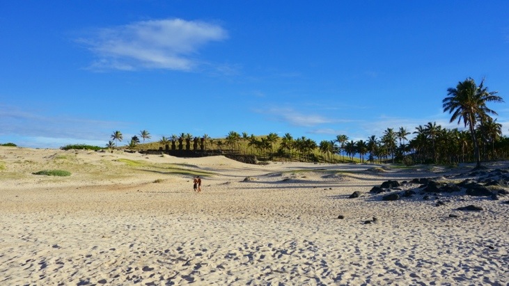
A look back up the beach. A view similar to the one the first settlers must have enjoyed after 25 days of travelling over the open ocean:
On the way back we stopped in Hanga Roa and had a tuna-fish empanada dinner and some fresh fruits back home. A bit later we got to enjoy some more of the brothers Blanco and Negro:
I guess scampering around all day does get tiring after all:
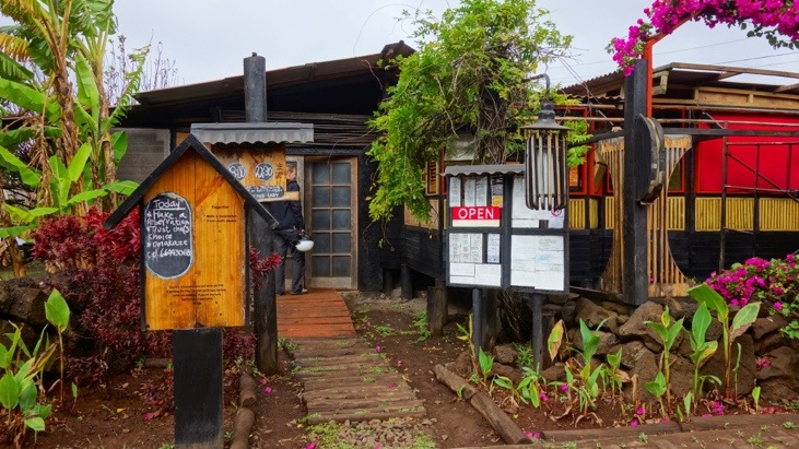
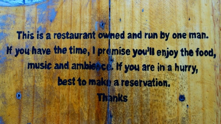
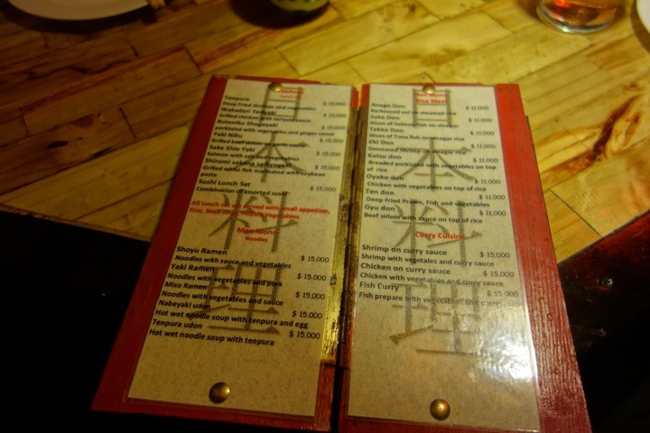
The empanadas were quite delicious and we did go back every once in a while to have another one, but that is not all that we ate during our visit. We had heard of a very special Japanese restaurant which is managed by only one man. It is called Kotaro and one day we decided to give it a try:
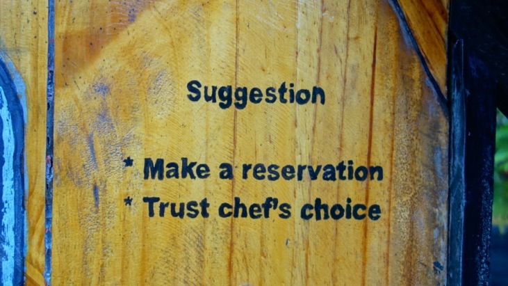
You get an idea of the special character already by reading the signs on the outside:
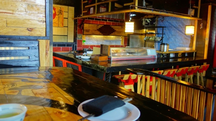
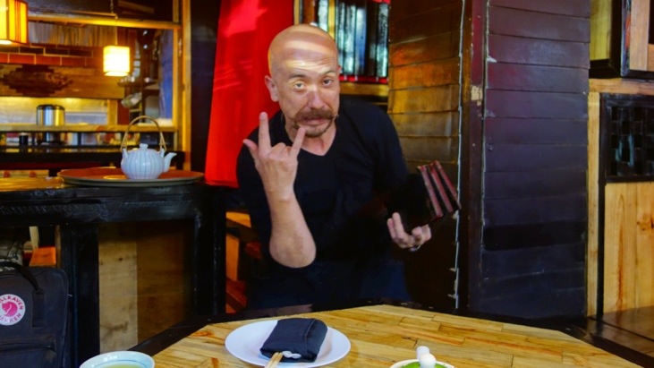
On the inside it is plainly furnished, but still cosy. The waiter which is also the chef warmly welcomed us and inquired about our taste of food before he made his recommendation.
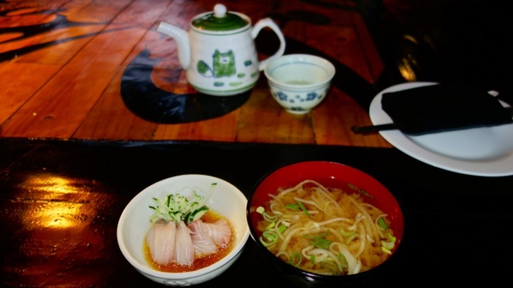
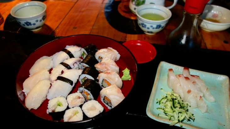
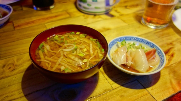
We started out with a delicious Miso soup and Sashimi aperitif:
After we shared the “Sushi Lunch Set”:
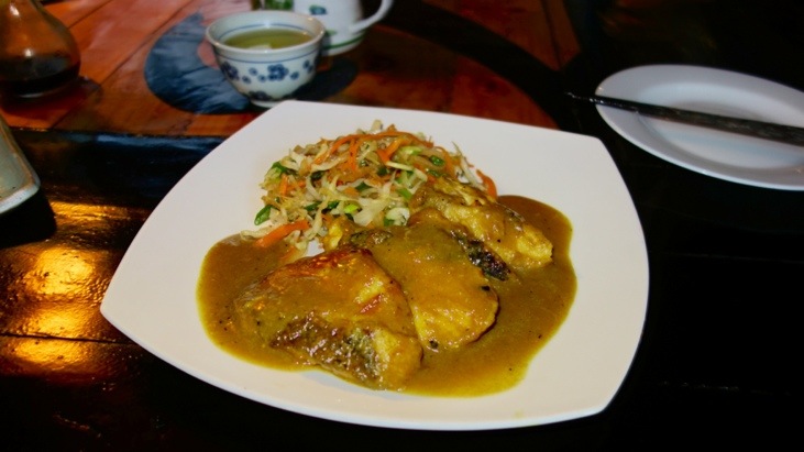
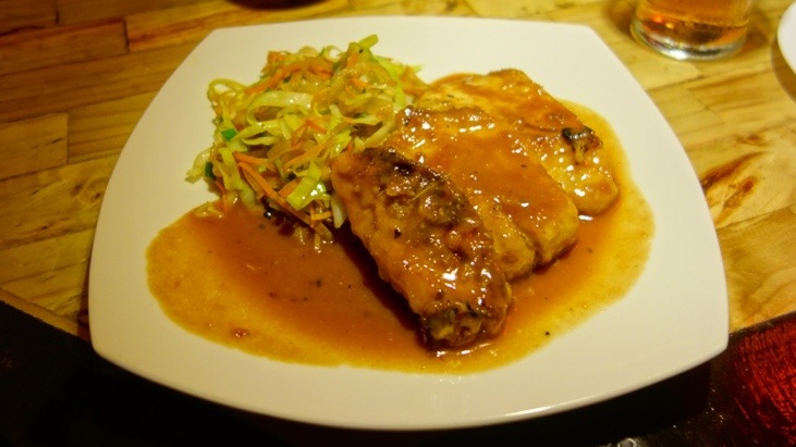
And the “Fish Prepared with Vegetables an Curry”. Both dishes were very delicious and we decided to come back on our last day to have our farewell dinner here.
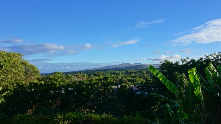
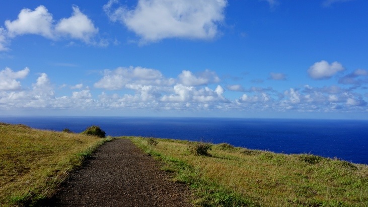
The next day we headed up towards Orongo which is a historic site located on the rim of the volcano in the very south of the island. On the way up we had some peeks over the island:
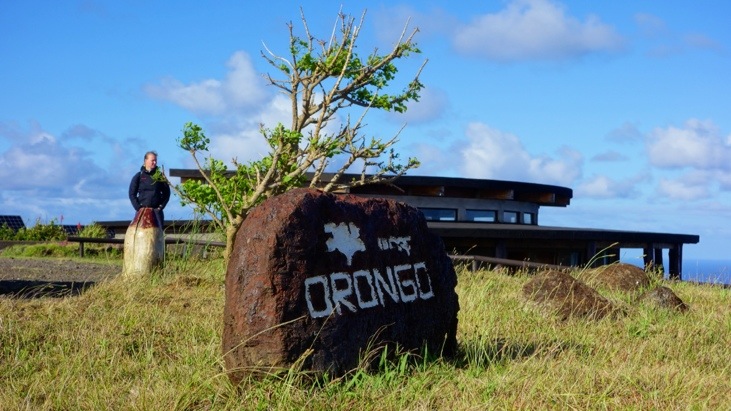
Orongo has one of the most dramatic settings located between the rim of the Rano Kau’s crater and the 1000 foot cliffs plunging down into the Pacific ocean. Also it is quite windy up here since there is no shelter from trees or structures.
Orongo was the only ceremonial village of Rapa Nui which was built and used exclusively for religious purposes.
Ancestor worship represented by the megalithic moai was one of the most outstanding aspects of Rapa Nui prehistoric culture and spread out over the entire island. After overexploitation of the islands resources the Rapanui suffered from the shortages of food and supplies. As a consequence the island society started to leave megalithism as political and religious expression and replaced it with the cult to the Make-Make god around the 17th century. This religion was closely related to fertility, spring and migratory seabirds. Orongo became the focus of this emerging order and represented a new phase in the islands history and culture. This new religious and political system gradually replaced the old system and can be traced back up to the end of the 19th century.
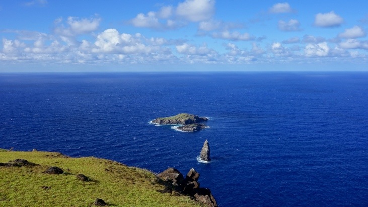
In the annual ceremony the chiefs of the different tribes or their representatives competed against each other in order to obtain the first egg of the Scooty Tern bird. This seabird arrived every spring to nest in the Motu Nui islet, not a stone’s throw from Orongo:
Close to the arrival time of this seabird, groups from all over the island would meet in Orongo and carry out various events to prepare themselves for the competition. When the birds arrived the participants would climb down the cliff and swim to Motu Nui and stay there for days or weeks waiting for the Scooty Tern birds to lay eggs.
The participant who first returned with an egg, or the chief he represented, was endowed as “birdman” and considered sacred. His reward was to live in ceremonial recursion for one year and his tribe was awarded certain privileges and benefits in the distribution of resources. The last bird man competition took place around 1867 and was stopped by the Christian missionaries arriving on the island.
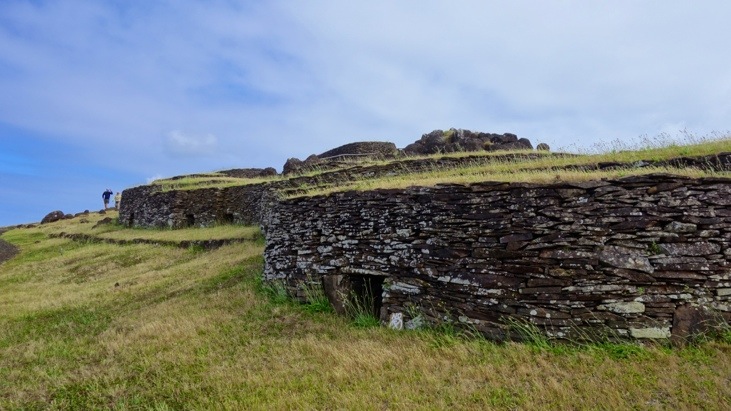
Here you can see some of the stone slab houses of Orongo built upon the cliff and facing the islet Motu Nui:
You can see that the houses have very small doors, no windows and the thick walls were built from stone slabs to offer the inhabitants best protection from the fierce elements:
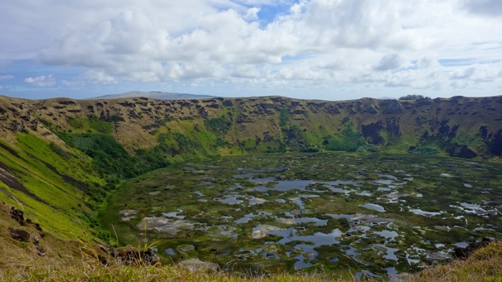
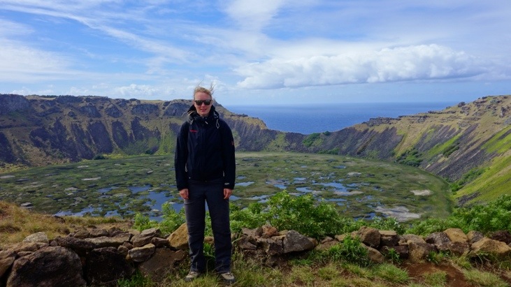
On the way back we stopped at the outlook over Rano Kau crater. Looking at the picture Orongo is located on the right side of the crater, just off the picture:
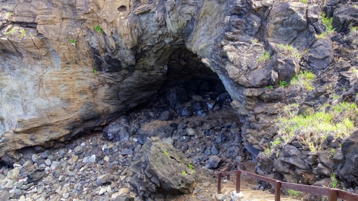
Our next stop was at Ana Kai Tangata (lit. trans: “cave” “gathering” “man”) which is a cave very close to the coast line in which the competitors of the birdman competition met either before or after the race for the egg.
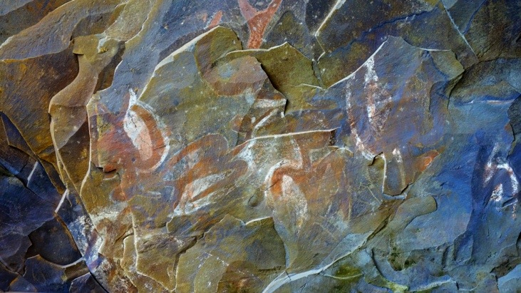
On it inside ceiling one can still see drawing of the Scooty Terns bird representation, painted using natural earth pigments together with animal fat. This last ingredient helped preserve the paintings much longer than expected in this high humidity environment:
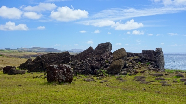
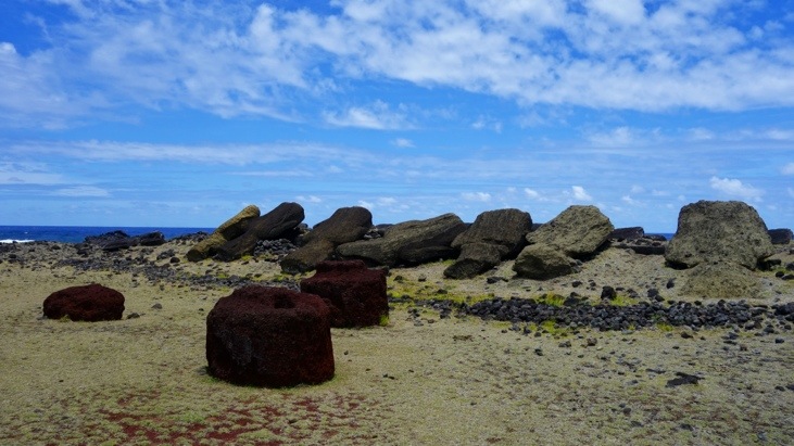
We continued on to Vinapu which is an impressive example of an unrestored site with at least five toppled moai around the ahu and several topknots:
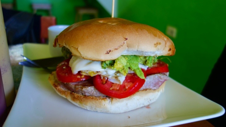
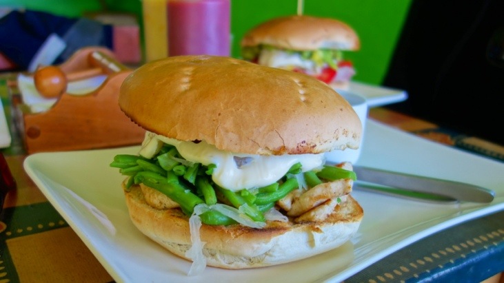
Visiting all these stone heads sure worked up an appetite and it was time for lunch too. We headed back to Hanga Roa and shared a tuna and a chicken burger:
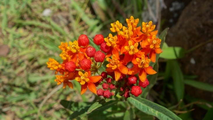
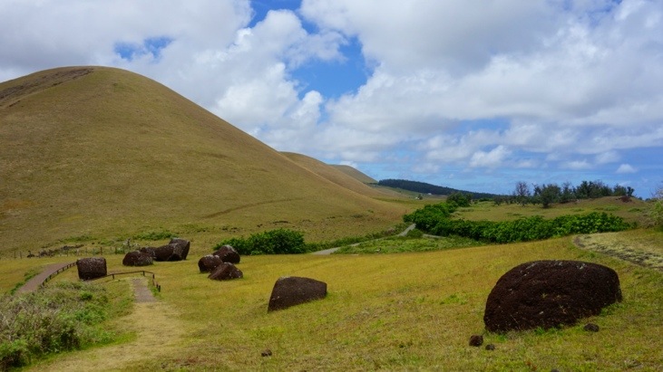
Refueled, we headed off to the topknot production site of Puna Pau. Here we spotted a beautiful orange and red shaded flower:
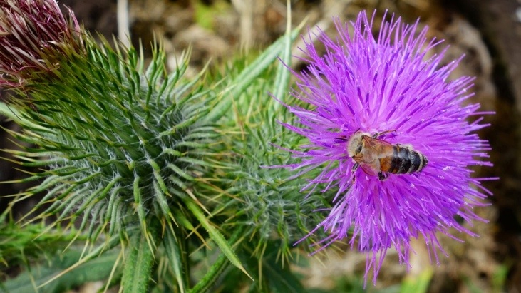
And a purple thistle which was getting visited by a bee:
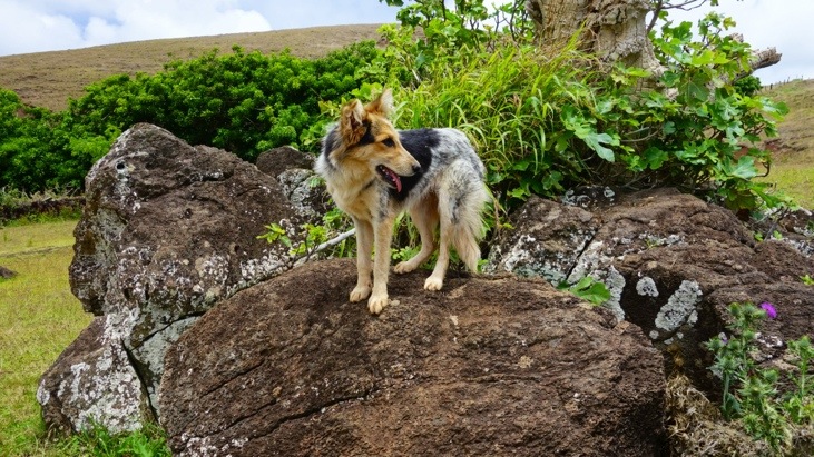
And a stray but very friendly dog who seemed to guard the site:
This special site is the place were the topknots were carved. The stone here is soft volcanic rock with a high iron content which is responsible for the distinctive red color.
Of the approximately 1’000 moai on the island only around 100 of them ever wore a topknot. These topknots are considered to represent the long hair tied up in a knot, hence the name topknot. This hair fashion originates from the early Rapanui society in which it was forbidden for certain high-ranking men to cut their hair.
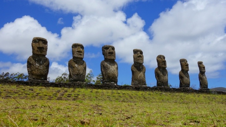
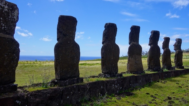
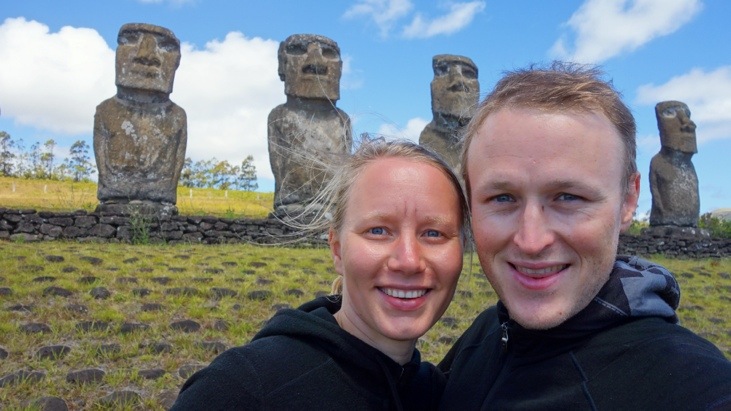
We found the site Ahu Akivi to be one of the most enigmatic sites of the island and made sure to just sit in the grass before them and watch them as the clouds passed by.
Erected towards the inside of the island these moai also looked over their village and its descendants. The inhabitants of these inland communities used to be dedicated farmers as opposed to the fishermen living on the coast. What is fascinating about Ahu Akivi, is that the platform is aligned with the rising sun of the spring and autumn equinoxes (when day and night are exactly equal). Of course the knowledge when seasons were changing was extremely important for the farmers and on Easter Island and there exist at least 15 other solar pointing platforms on the island.
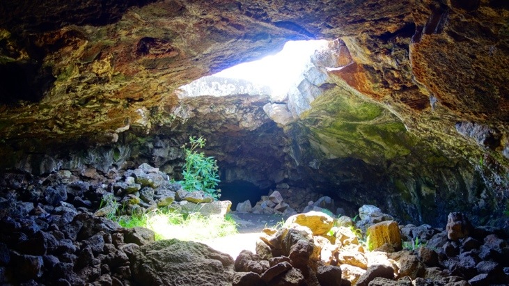
Ana Te Pahu is a former lava tube that stretches over 7 kilometers in length. It is not entirely dark on the inside as the tube has collapsed in some places letting the sunlight in.
The Rapanui probably used parts of the caves as short-term shelters, living quarters and hiding places during the inter-tribal warfare.
Here an insight into the lava tube with an opening in the ceiling:
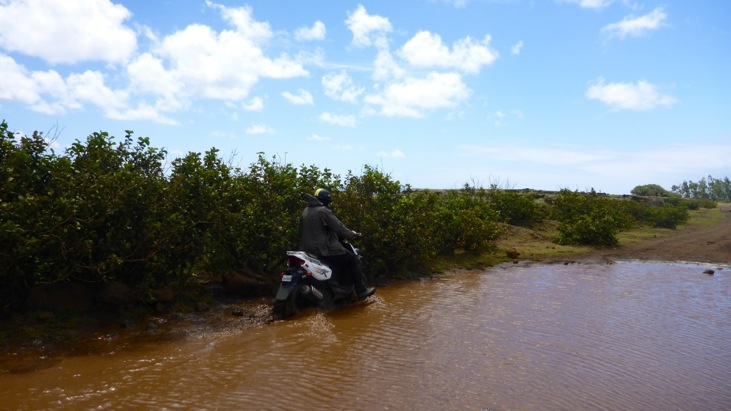
Having rained the day before the road toward Ahu Te Peu was almost impassible. Since we couldn’t really see exactly how deep this little puddle on the road was Tini decided to have Andy go on the scooter and pick her up on the other side…
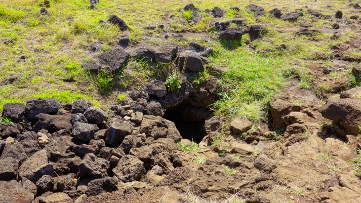
Hardly anybody visits or knows about Ana Kakenga. When we finally managed to find it, we understood why! It is simply a hole in the ground:
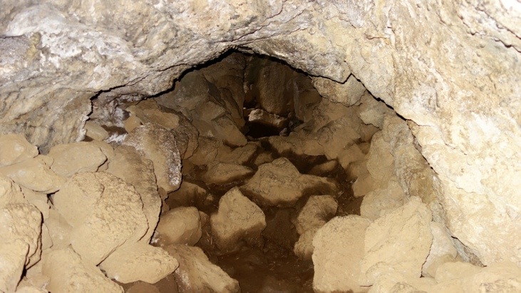
Once we entered the narrow entrance the tunnel slowly widened up.:
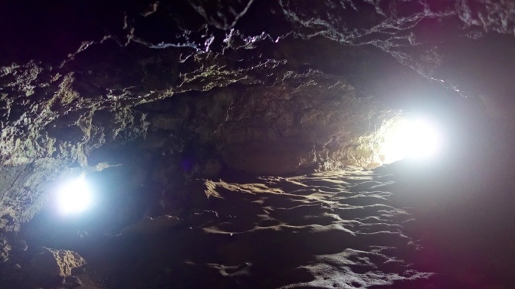
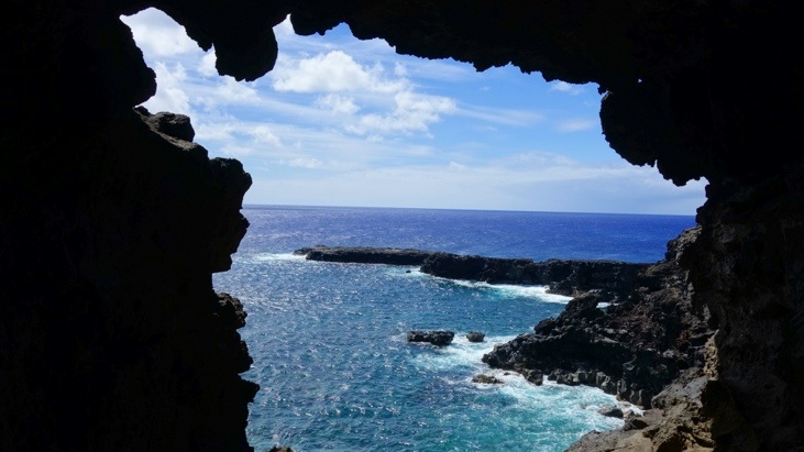
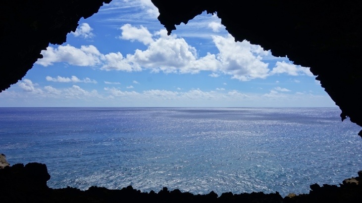
Until we reached the forking point at which one can see two windows to the ocean. From here the lava flow continued beneath the hardened crust and pored into the ocean. The two windows also give the cave it name, as Kakenga means “two windows”.
Each window has its unique shape and opens a breathtaking view over the ocean while one hears the waves thundering against the shore some 30 meters beneath:
These breezy openings towards the oceans and in the shadows are the perfect place to be on a hot and sunny day!
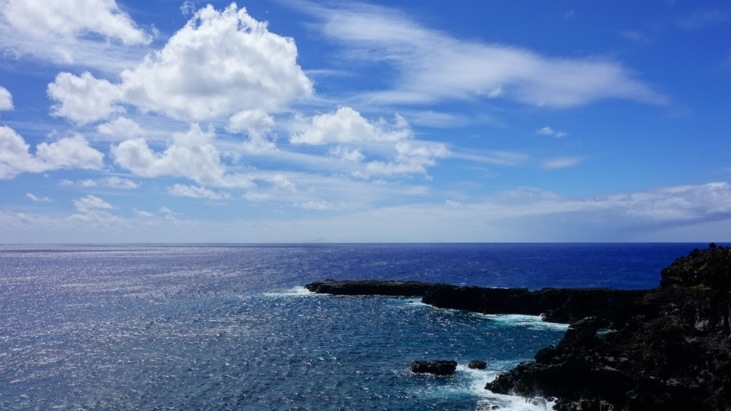
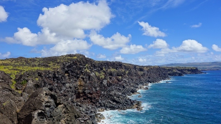
Looking at the coastline from the outside it is almost impossible to spot the two cave openings:
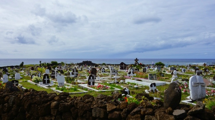
On the way back we passed by the Hanga Roa cemetery which has a great view of the coast:
Yes, Tini was also allowed to drive the scooter, but she much preferred clinging to Andy while he drove. 🙂
This evening we once again headed for the three Ahus Vau Uri, Tahai and Ko Te Riku to watch the sun set behind them:
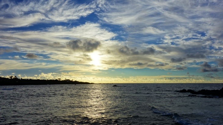
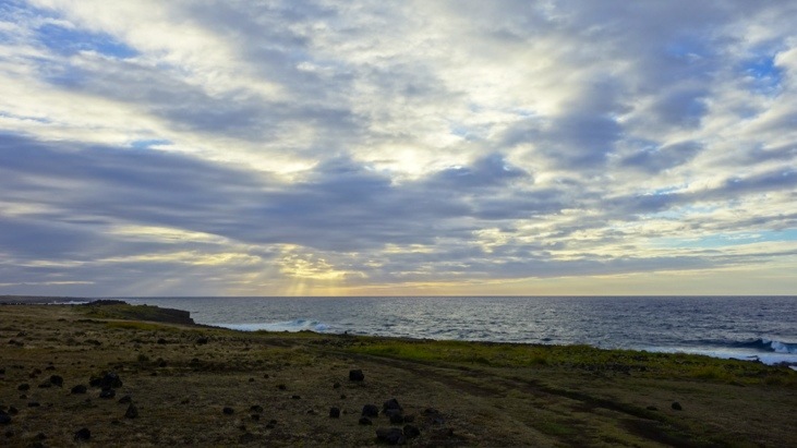
What an amazing atmosphere watching the moai get darker and the fiery-orange sky disappear in the ocean…
Having seen the sun set twice on Rapa Nui we decided to give the sun rise another chance, despite our disappointing experience at the Torres del Paine…
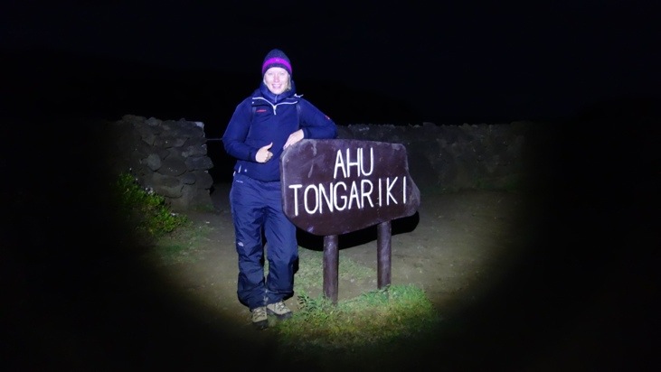
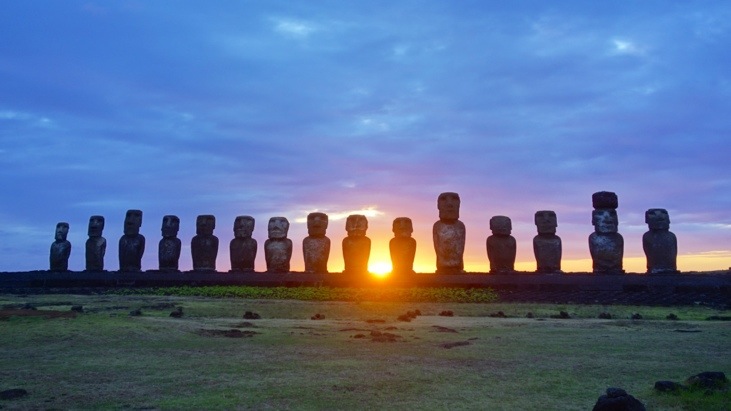
The next morning we got up really early and scooted the 30 minutes to Ahu Tongariki in the dark to watch the sun rise behind the 15 moai:
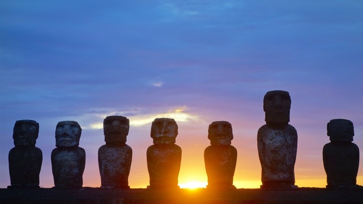
We arrived in time and watched the sun appearing behind the moai on Ahu Tongariki:
We had brought cookies and warm tee and were happy that this time the early rising had paid off:
What an incredible site!
On the way back we enjoyed beautiful views as the road meanders along the coast:
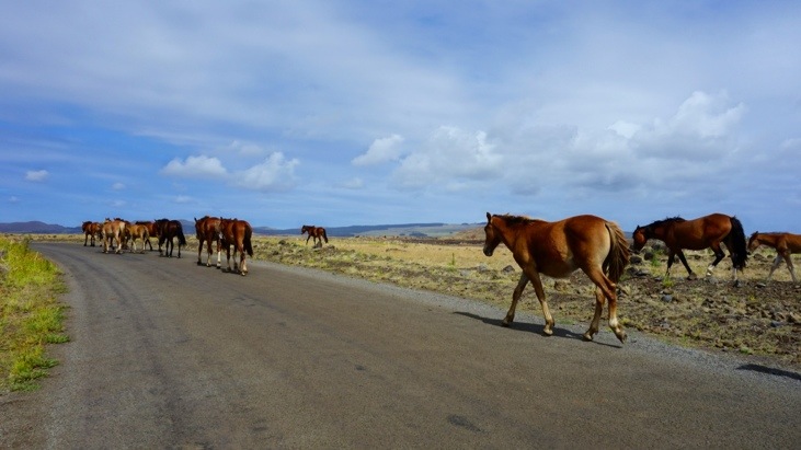
Though Andy couldn’t keep his eyes on those views too long as sudden wild-horse crossings can happen any time! See for yourself:
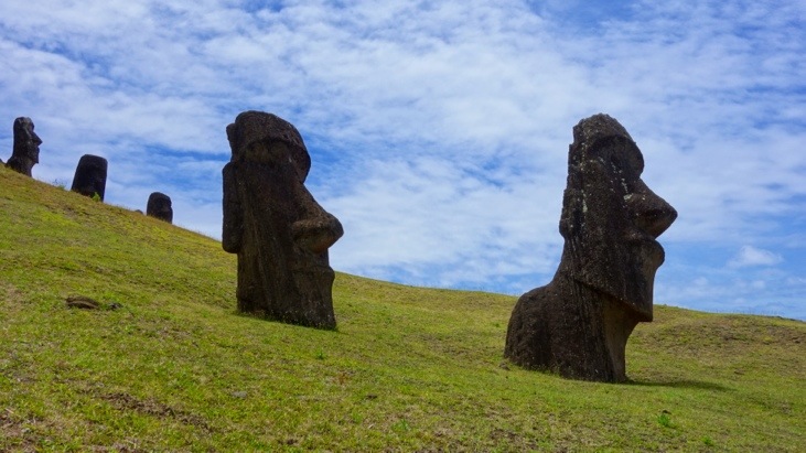
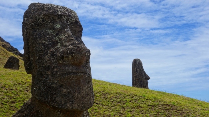
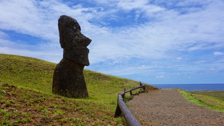
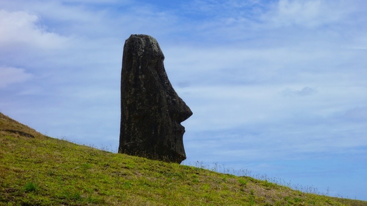
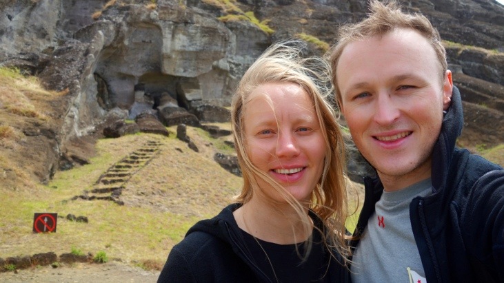
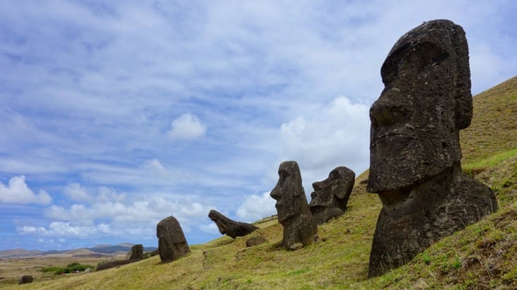
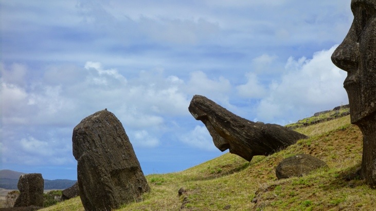
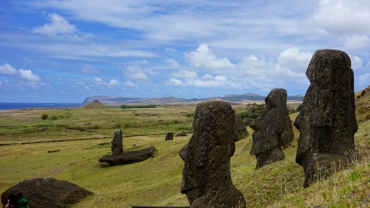
After a good breakfast we headed to the quarry Rano Raraku, which is definitely one of the most remarkable sites. In Rano Raraku nearly all of the moai were carved and it still contains almost 400 moai in various stages of carving, many though covered or not yet completed. To carve a large moai would take a master carver guiding a team of workers up to two years! Broken moai were simply abandoned, no matter if still in the quarry or on the transport to the site. It was believed that by falling or breaking their mana had disappeared.
Once we entered the carving section of the quarry we began to see row over row of unfinished moai:
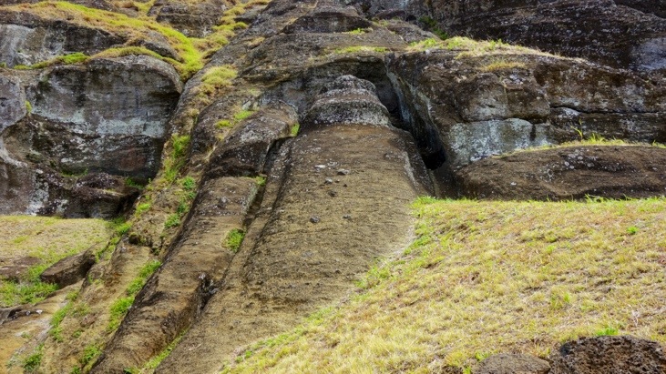
Here’s the largest moai ever carved. If it ever would have finished it would have been 21 meters in length and weighed over 250 tonnes!
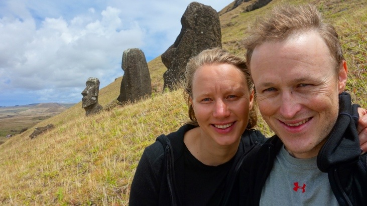
Many of these moai have their own little story, but we don’t want to inflate this post any further. So just enjoy these moai as we did…
The very last site of our Easter Island visit was Ahu Hanga Te’e. The moai are still lying in the exact position that they were thrown over.
Coming from the quarry we felt pretty saturated with moai and did not dwell long…
Back in Hanga Roa we returned the scooter. Two of the three day trips we recorded with our GPS tracker. On the first day we visited the north part of the island, but unfortunately without the GPS tracker.
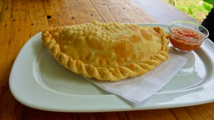
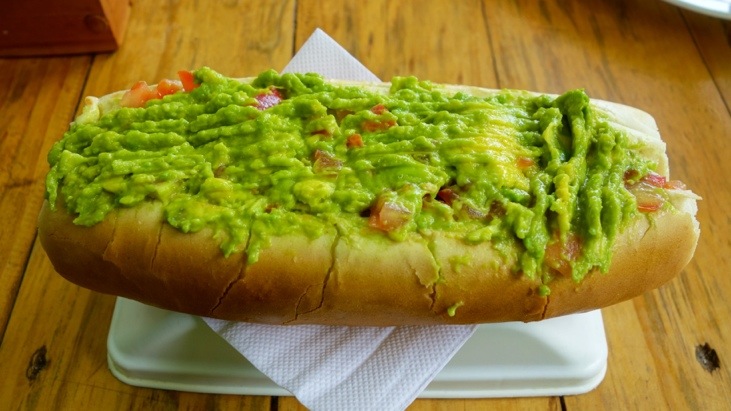
For lunch we settled for a seafood empanada and a completo:
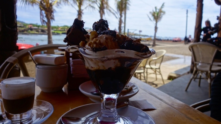
In the afternoon we found a nice cafe at the Fisherman’s Wharf and relaxed with great view of the harbor, a coffee and an ice cream bowl:
As planned for our last evening and dinner on Rapa Nui, we visited Kotaro again. The owner, chef and waiter already knew us:
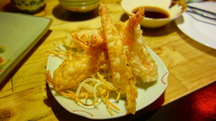
And also this time the food was delicious:
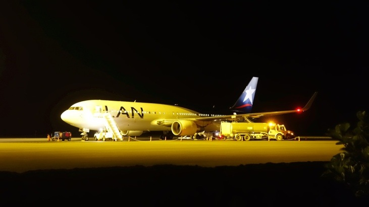
Our plane from Rapa Nui to Tahiti left in the middle of the night and we could simply walk from our hostel to the airport.
We were really glad to have visited Easter Island. We had started out with knowing hardly anything about this amazing culture and its background and it had been exciting to discover a little more about it every day. While we are surely far from knowing all there is to know we were fortunate to get a great insight into this amazing culture. Who knows how much longer this will still be possible?
The part that we find both interesting and terrifying at the same time, is how such a developed and intelligent race as the Rapanui were unable to see the long term effects of their actions and excessively stripped their island of supplies to the point they almost extinct themselves.
But then again this is an equally valid question today, given the destruction that we are now doing to our own ecosystem and resources, just on a much larger scale…
For all of you who have not yet had enough, we answer two more questions which are probably weighing heavily on your mind and give you an interesting fact 😉
1) Why/how did the Rapanui manage to have all their trees on the island cut down?
When the first Rapanui arrived they immediately started to cut down the trees to clear the land for farming and building their homes. Besides all they needed for founding their new society the Rapanui had also brought Pacific rats with them. Either by accident, or more likely as an emergency protein source. These rats had a keen taste for the seeds of the palm trees and in the long run successfully prevented the trees from reproducing.
As the human population grew, so did the rat population. And when the Rapanui began to cut down ever larger swathes of forest, now also for the transportation of the moai, the damage was done and the island was soon stripped of the last remaining trees.
2) What became of the Rapanui?
Well, 1862 is considered the end of the Rapa Nui culture. Peru had abolished slavery in the 1850’s and was in desperate need of cheap labor. In a series of raids around 1’500 Rapanui were forcibly removed including many of the chiefs and wise men who were able to read the Rongo Rongo tablets. Many Rapanui died on the journey or in Peru and after international outcries only 15 Rapanui were ever repatriated back to Rapa Nui. These few individuals brought back smallpox with them which further decimated Rapa Nui’s population. From perhaps 12’000 inhabitants during the peak of the moai period the island census of 1877 recorded merely 111 people!
After Chile defeated Bolivia and Peru in the War of the Pacific in 1883 they expanded their empire by annexing Easter Island in 1888 but soon again forgot about it. In 1903 Chile leased the entire island to Williamson Balfour & Co to set up the “Easter Island Exploitation Company” (no joke, it really had this name!). They turned the entire island into a ranch and had 70’000 sheep roam the island while the islanders where herded into Hanga Roa and fences in, to prevent them from steeling sheep. Finally in 1953 the lease was revoked and the control over the island was handed over to the Chilean Navy.
Only slowly did the situation of the islanders improve after. They were given full Chilean citizenship in 1966. Since then changes in the Chilean law have now given the island several benefits not found anywhere else in the country: no income tax, subsidized fuel and air travel, free schooling and healthcare, and a restricted ownership allowing only Rapanui to own property on the island.
In 1995 the Rapa Nui National Park was declared an UNESCO World Heritage site. The other 60% of the island either had already been or is in the process of being returned to the Rapanui by the Chilean government. The governments renewed commitment also becomes evident in their recent investment of 250 million USD in paved streets, a new hospital, better schools and improved electricity and water supplies. However the island still remains autonomous as the Rapanui Governor is directly appointed by the Chilean President and the mayor is locally elected.
Very last interesting fact:
The medicament Rapamycin is an immunosuppressant drug used throughout the world to prevent the rejection of transplanted organs. It was discovered within bacteria from soil samples taken from the volcano crater Rano Kau in 1965. It got its name Rapamycin from its origin: Rapa Nui.





Leave a Reply
You must be logged in to post a comment.