26.07.2013Hiking the Historic Chilkoot Trail
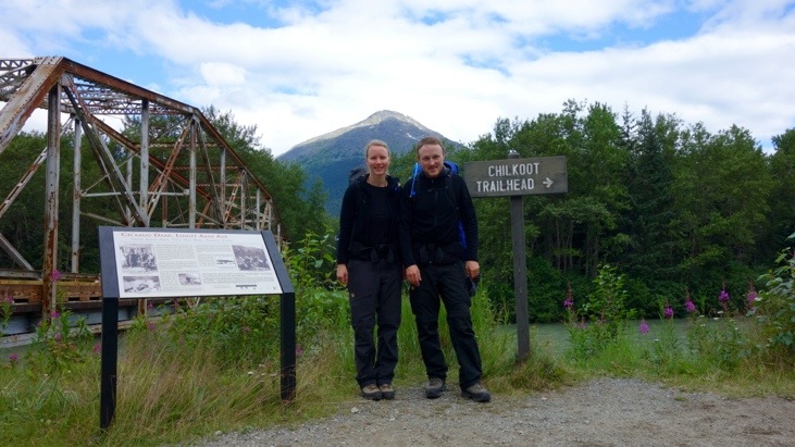
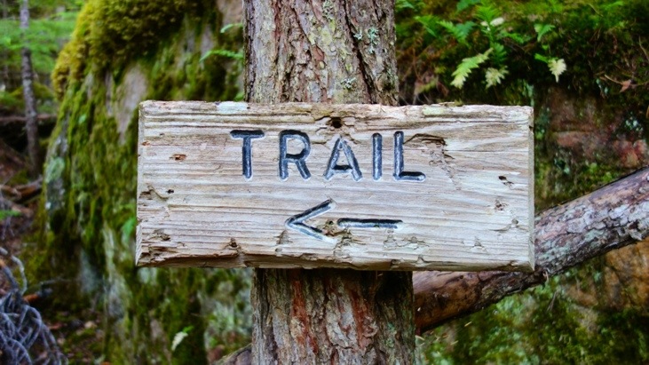
The scenic road was not the only reason why we headed to Skagway. We had decided to hike the historic Chilkoot Trail which starts in Deya, right next to Skagway. The Chilkoot is a 53 km trail through the Coast Mountains that leads from Dyea, Alaska, in the United States, to Bennett, British Columbia, in Canada.
It requires the hikers to take all their equipment such as tents, sleeping bags but also enough food for several days (and thats quite a lot!) with them and of course a passport for crossing the U.S./Canadian border.
There are several campground cites along the trail, but no opportunity to buy any goods or dispose of any trash. Luckily there are a lots of little rivers and creeks to fill up ones water supplies, so we didn’t have to carry enough water for four days with us! Our water purifier was extremely helpful in this case.
Hiking the Chilkoot one gets a pretty good idea of the arduous task of crossing the Chilkoot Pass, just as the gold stampeders did nearly 115 years ago!
Their story started in 1896 when gold was discovered by George Carmack and his two Indian companions Skookum Jim and Dawson Charlie. However only after the Seattle Post-Intelligencer published the headline “Gold! Gold! Gold!” on July 17 of 1897, the news of gold findings spread like wildfire and the country in the midst of a depression, went gold crazy. Tens of thousands of men and women steamed up the Inside Passage waterway and arrived in Skagway to begin the overland trek to the Klondike. Six hundred miles over treacherous and dangerous trails and waterways lay before them.
Their journey started with the famous Chilkoot Trail. Each person was required to carry a ton of supplies (to ensure survival for at least one year) up the “Golden Stairs” to the summit of the Chilkoot Pass and from there leading to the interior lake country where stampeders could begin a 550 mile journey through the lake systems to the Yukon River and the gold fields.
The time for this trip was typically undertaken during winter, when stairs could be carved into the ice and facilitated the ascent. Sawdust and sand used to make the icy steps less slippery and the hope of finding gold and making a fortune additionally inspired the name of the “Golden Stairs”.
We were lucky and got the required permit for the trail on very short notice because other hikers with a reservation did not show up:-)
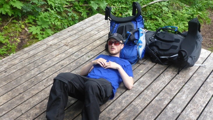
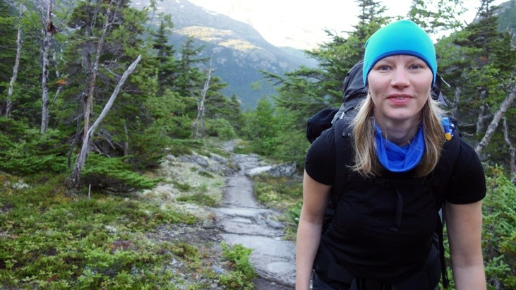
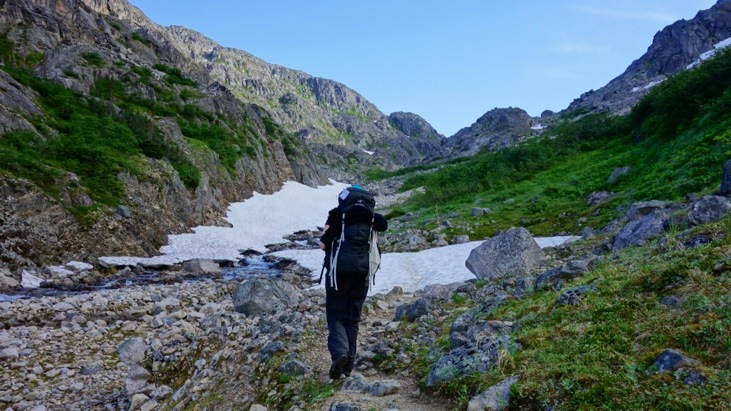
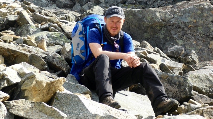
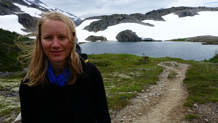
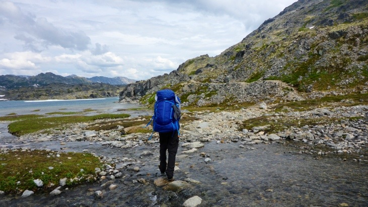
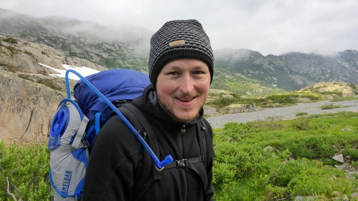
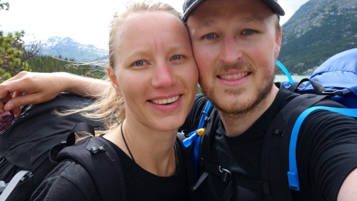
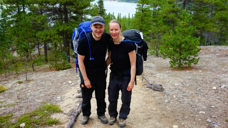
Equipped with our supplies of around 20 kg each, we started our Chilkoot hike on Tuesday morning.
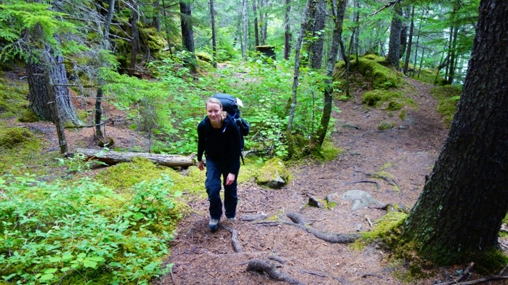
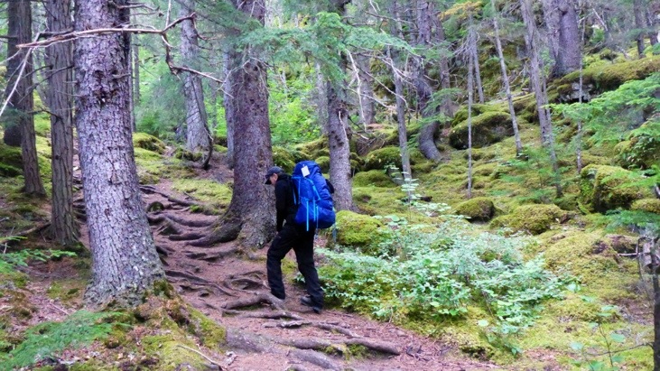
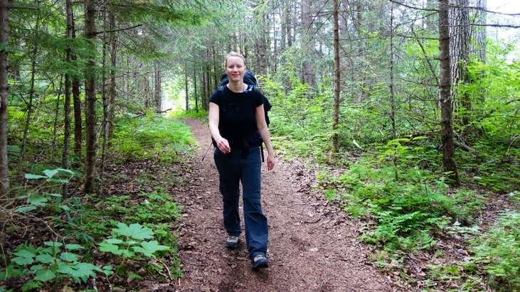
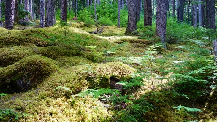
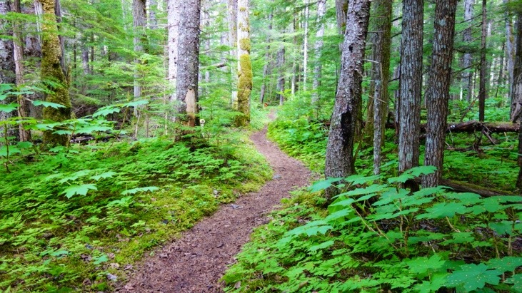
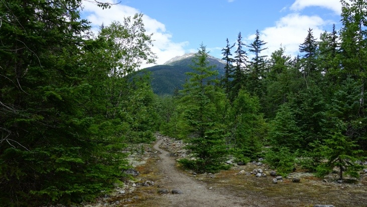
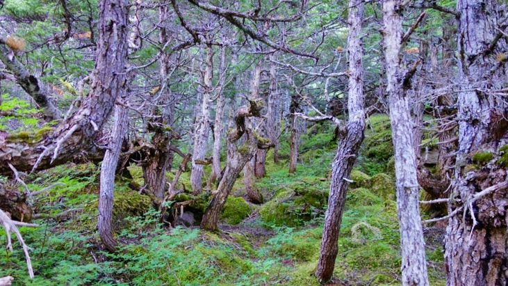
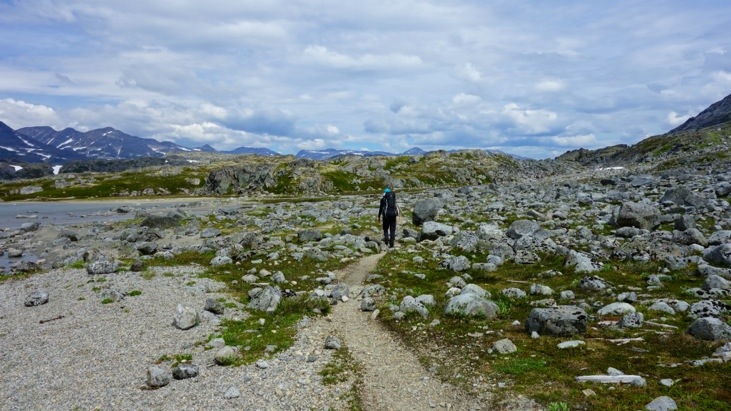
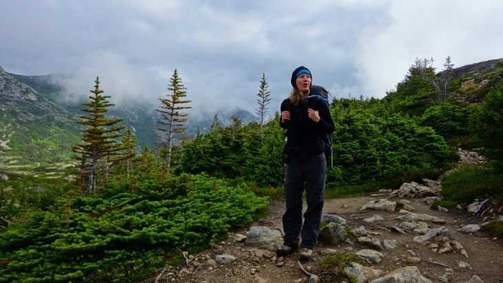
For the first part the trail lead through the woods.
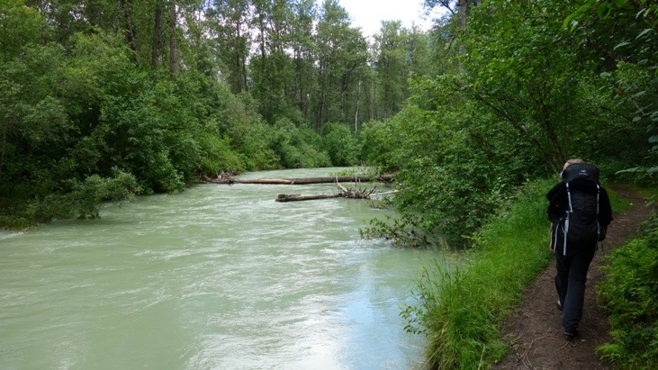
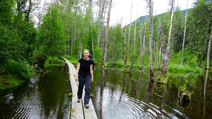
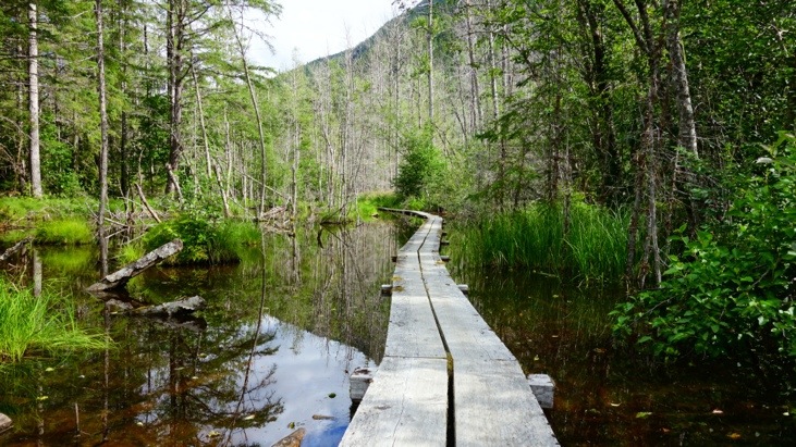
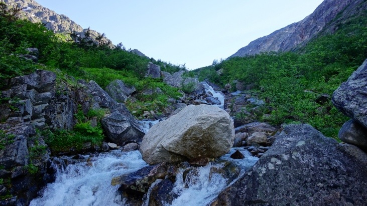
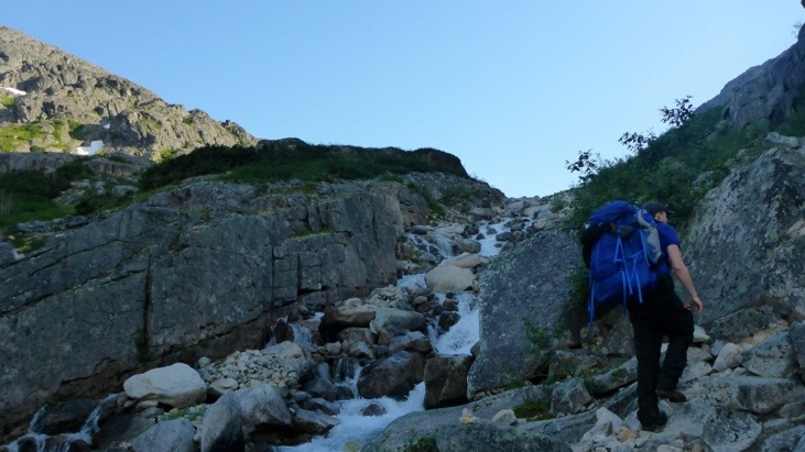
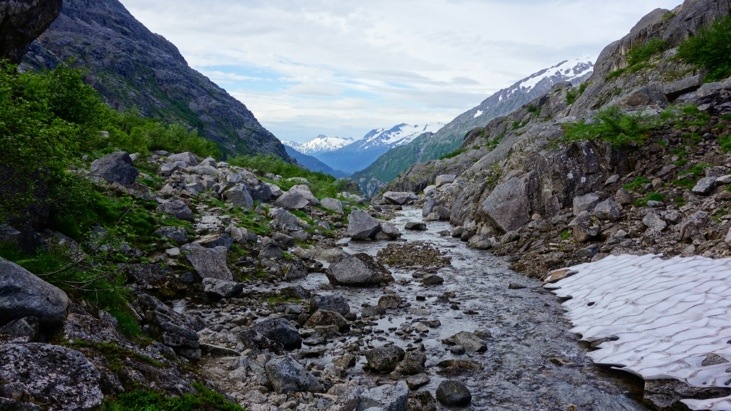
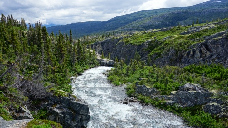
The trail crossed rivers.

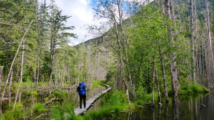
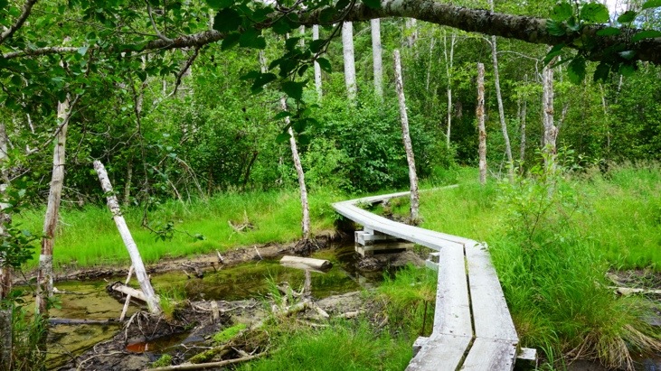
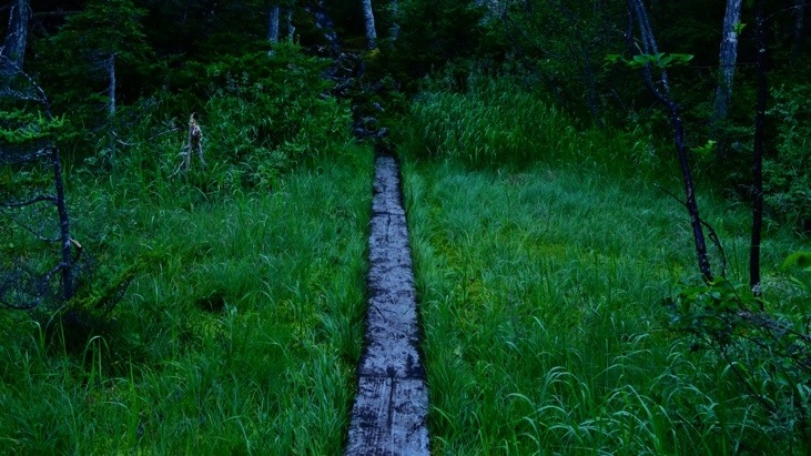
And swamps.
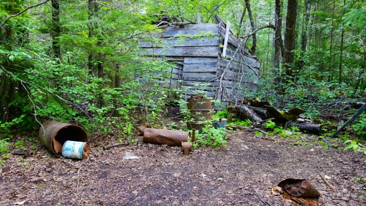
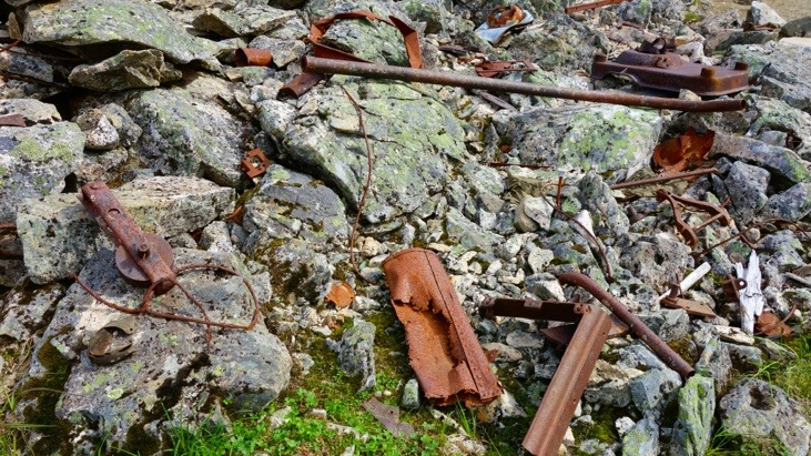
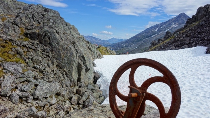
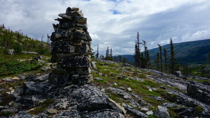
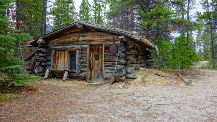
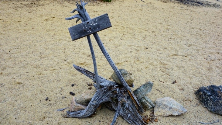
And remnants from old times. Many of these objects along the way are called artifacts and are objects cast away by the stampeders along their way.
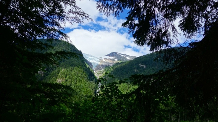
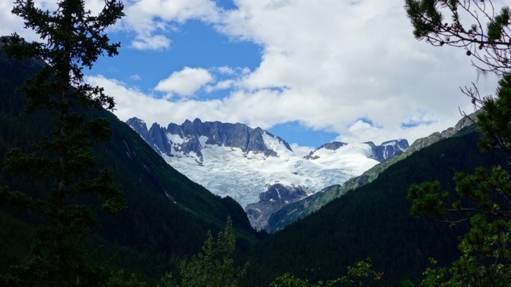
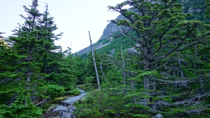
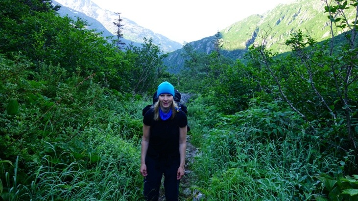
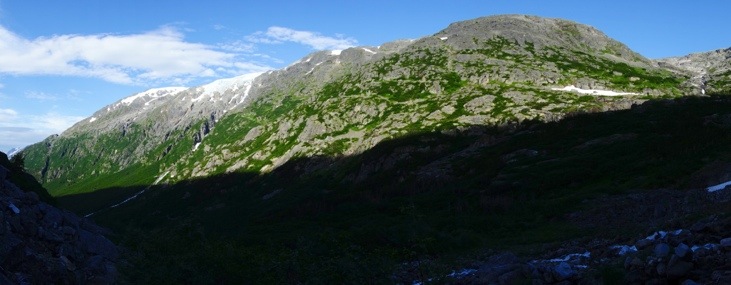
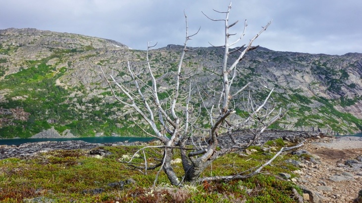
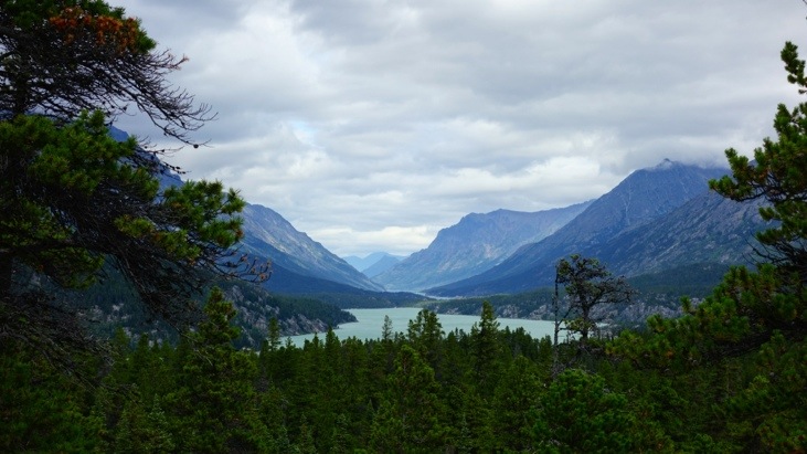
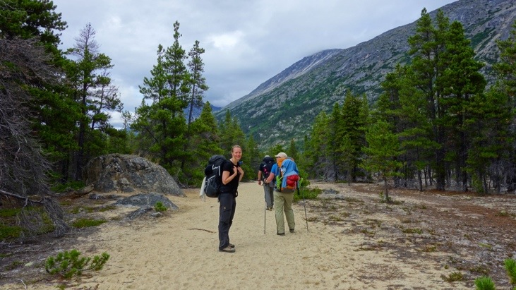
Every now and then we were able to catch a view of the approaching mountains.
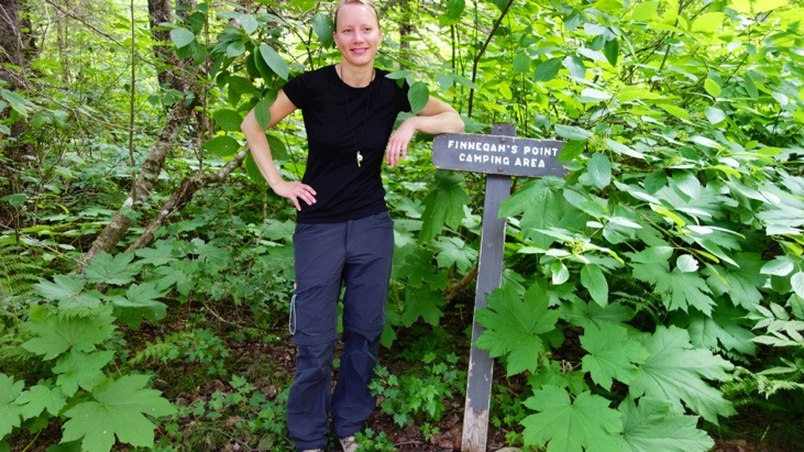
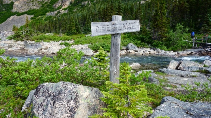
We had our first break at Finnegan’s Point.


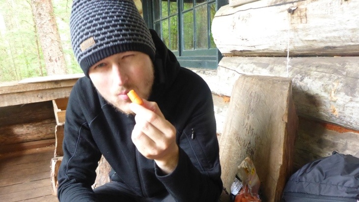
And after passing Canyon City and Pleasant Camp where we had our first “Brotzeit”.

That evening we arrived in Sheep Camp after 20.3 km of exhausting march.
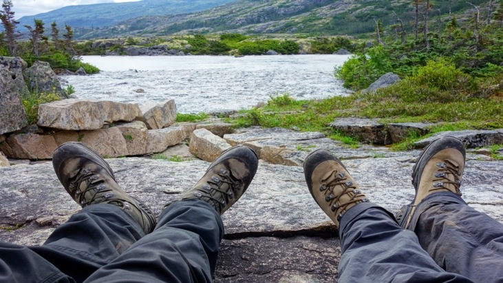
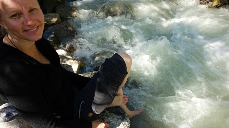
Carrying our heavy backpacks all day we could just not resist to cool down and refresh our feet in the nearby brook.
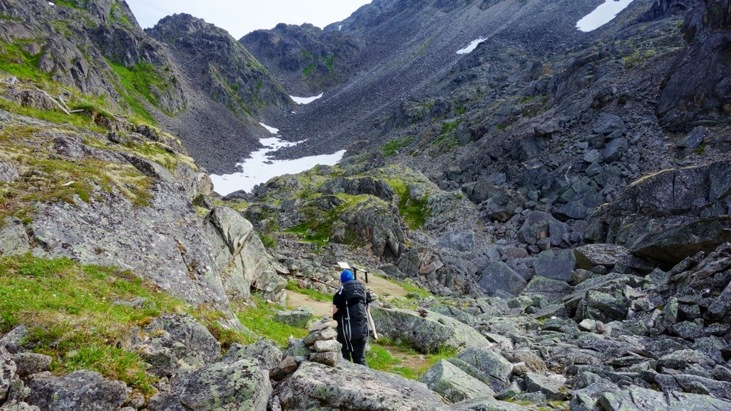
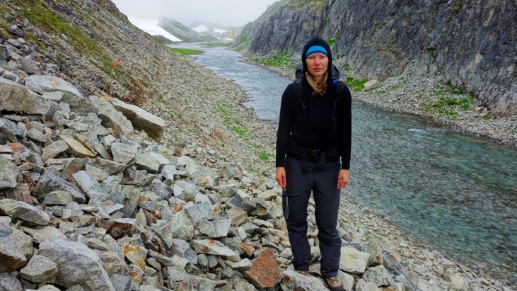
On day 2 we had the toughest route ahead of us and started our day at 6 o’clock in the morning.
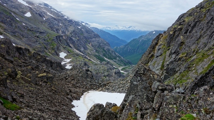
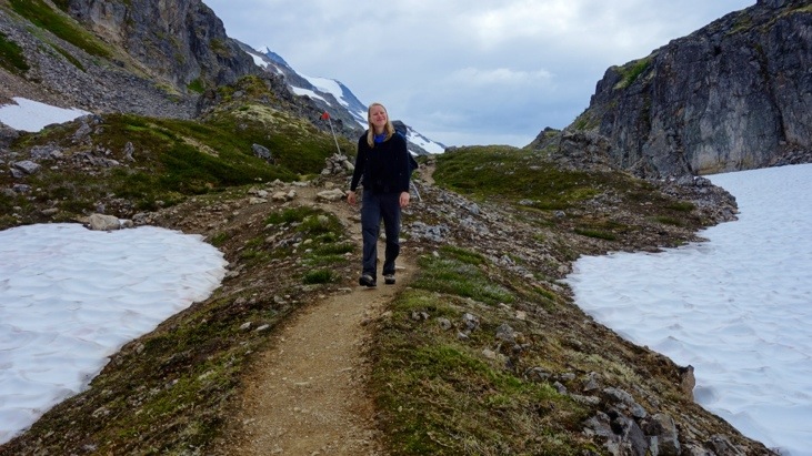
The view back showed the height we had already climbed
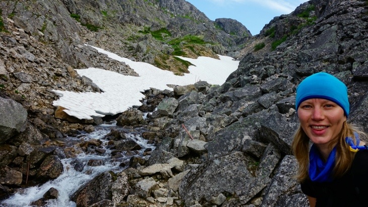
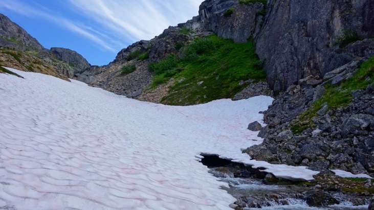
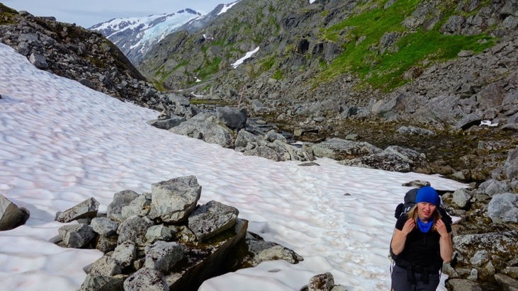
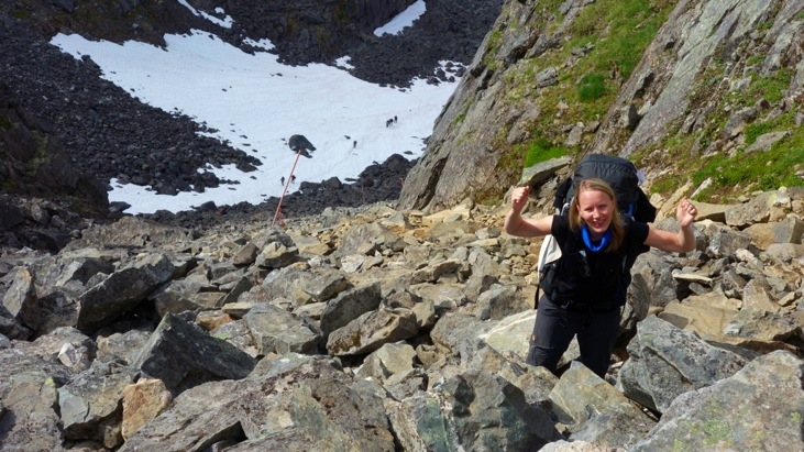
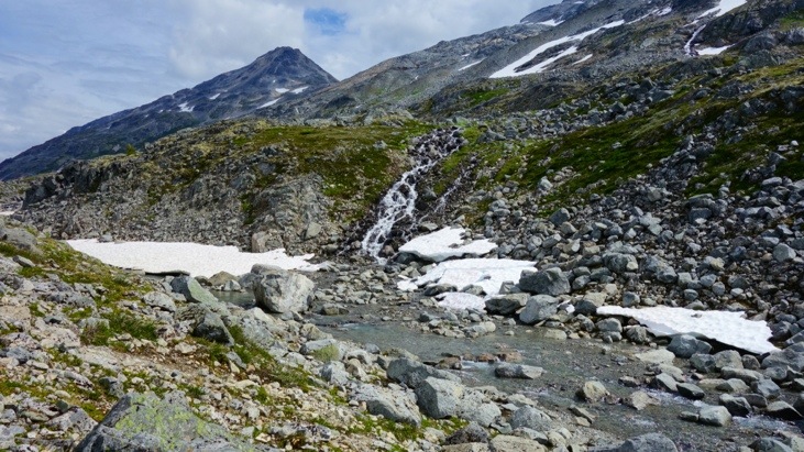
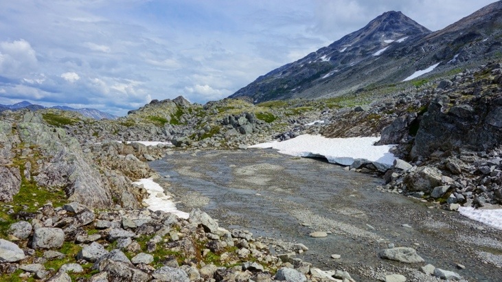
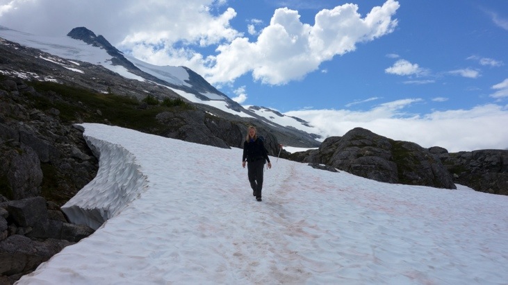
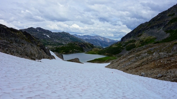
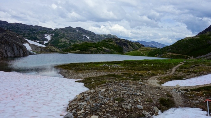
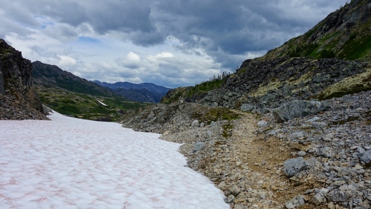
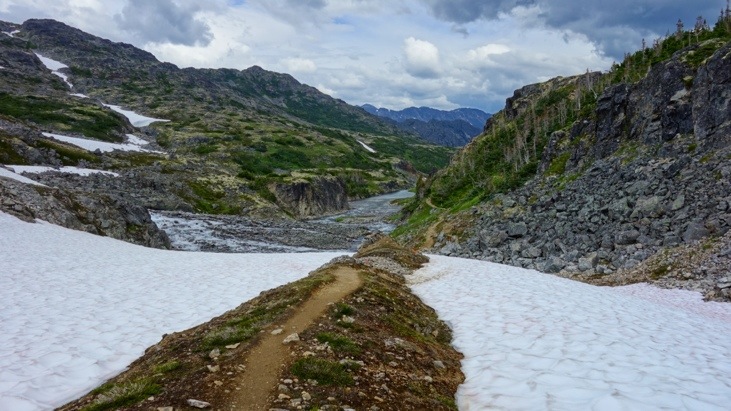
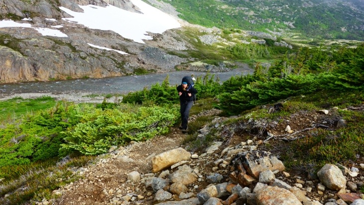
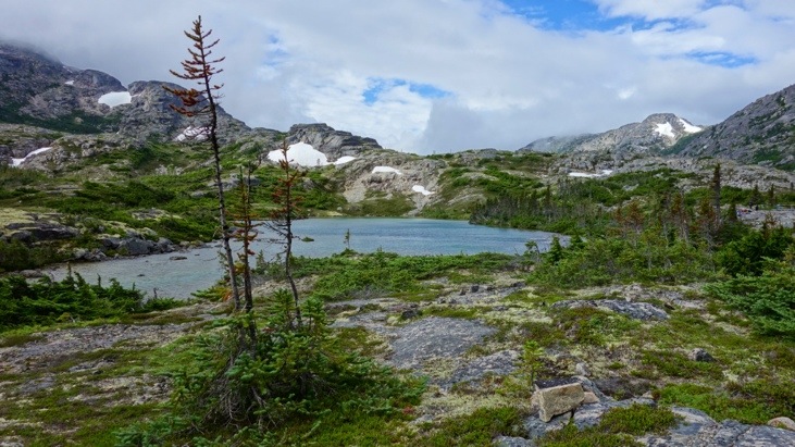
We crossed snow fields.
And as we continued along the way we kept seeing more artifacts that were tossed away and abandoned before reaching the pass. Now every few grams made a difference!
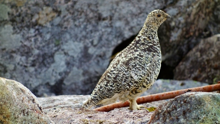
And some close-up wildlife.

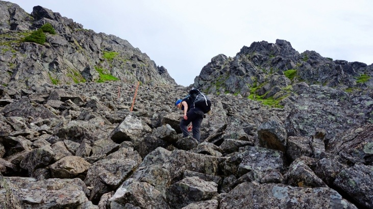
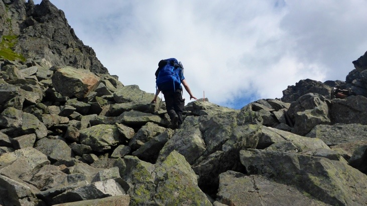
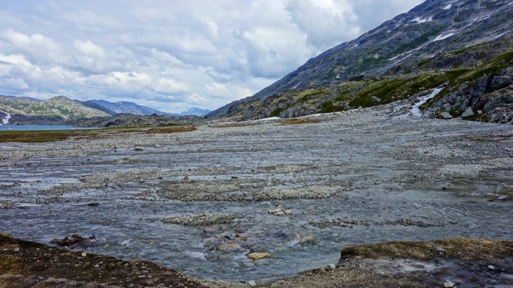
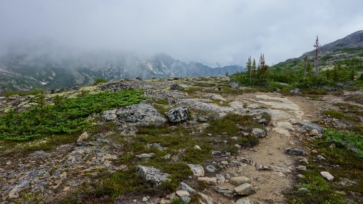
Eventually we reached the “Golden Stairs” which are not so golden in summer time.
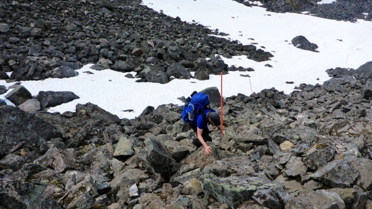

Until we finally passed them to the false summit.
Since it was false, there was more to climb.
Looking back to the false summit.
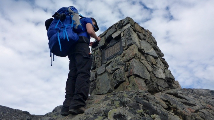
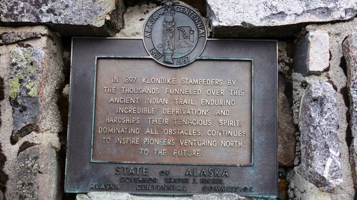
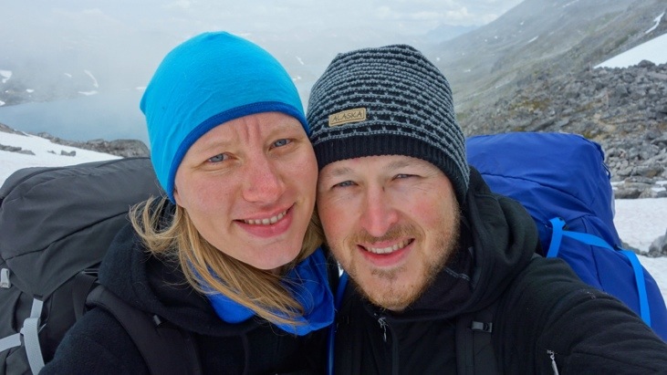
Finally we reached the Chilkoot pass monument which marks the border between the U.S. and Canada and reminds of the incredible deprivations and hardships of the Klondike stampeders.
From here on it was only few minutes to a shelter on the Canadian side:
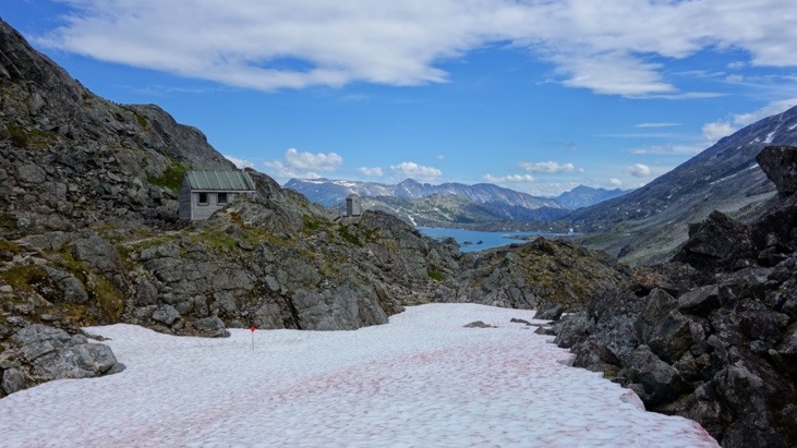
There we had a break and a warm meal. A friendly Canadian park ranger had prepared some hot water for the Chilkoot hikers. Sometimes it doesn’t take much to make you happy 🙂
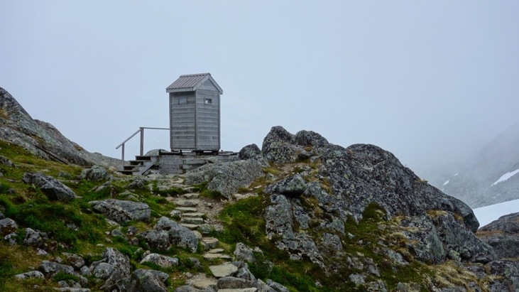
Also we probably saw the most remote restroom so far…
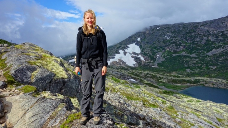
And from one moment to the next the weather changed and a brisk wind and fog moved in. Good that we had packed our hats and warm jackets!
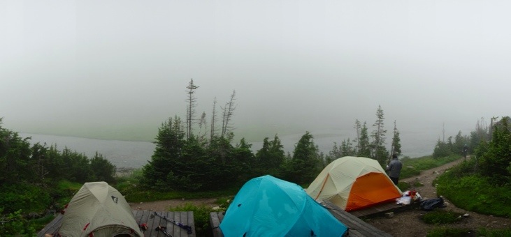
But we hadn’t yet reached our goal for that day quite yet and thus continued down into the valley.

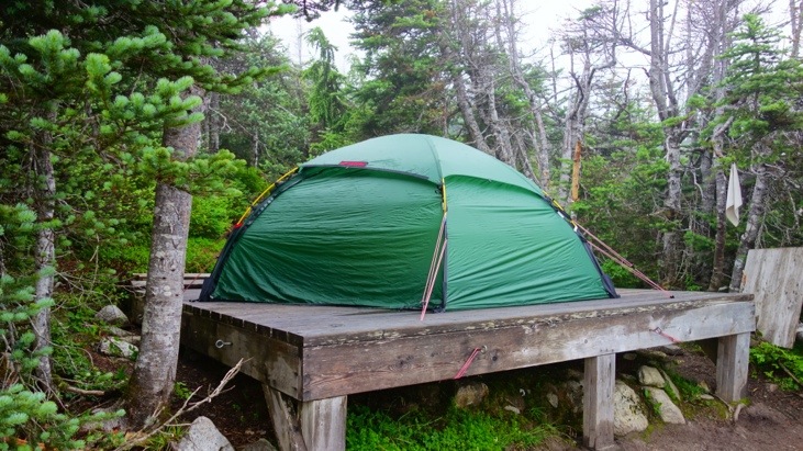
Until we finally-finally reached Happy Camp and set up our tent around 15:30 pm. Not one bit too early as the fog had followed us down the pass and now arrived at the camp site.
After some hot tea in the shelter we crawled in our sleeping bags around 16:30 and decided to have dinner around 18:00. Despite our alarm clock we slept straight through the entire evening and night and woke up very well rested but a little hungry 🙂
On the morning of day 3 we started out by having our dinner for breakfast before we again hit the trail.
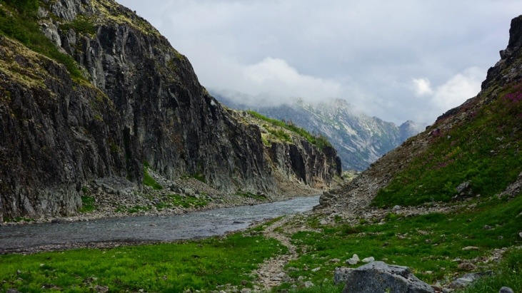
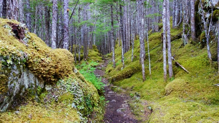
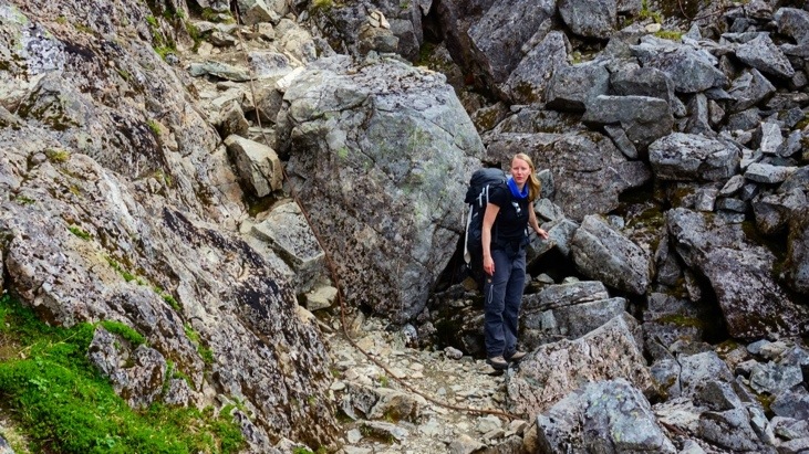
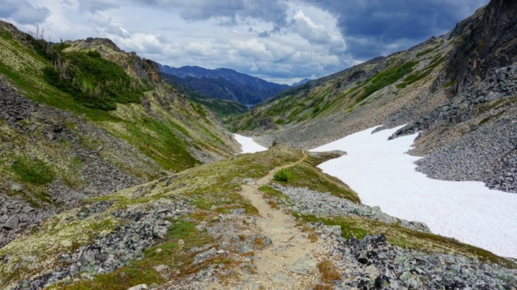
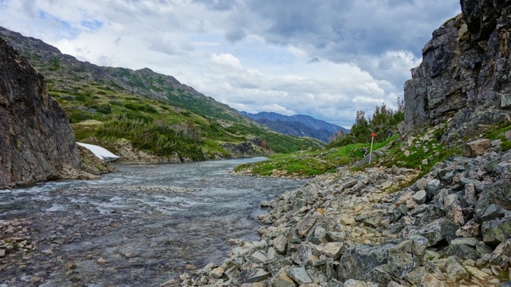
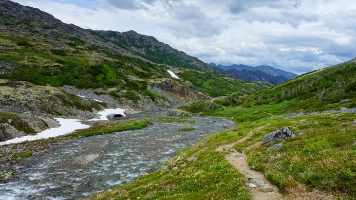
The trail continued in a valley along a river.
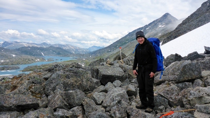
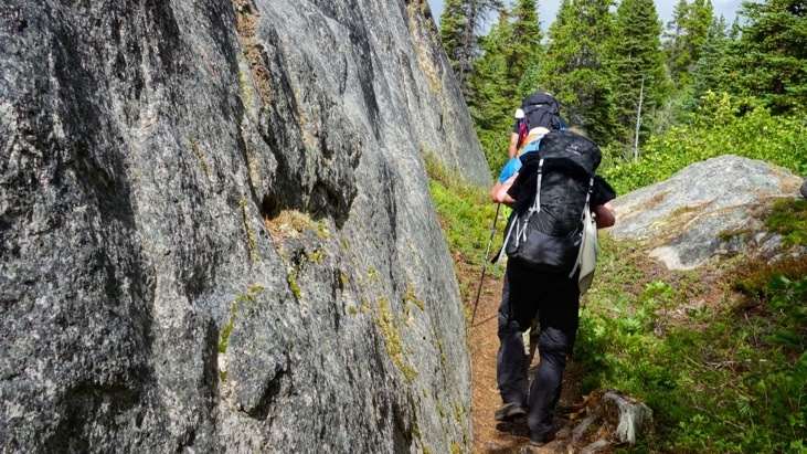
And up some ridges.
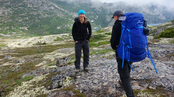
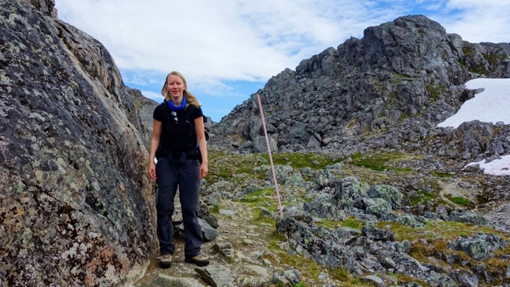
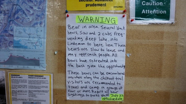
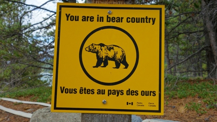
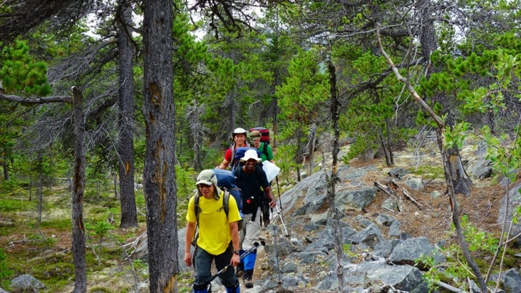
And as we reached the camp site called Lindeman City the park rangers made us aware of a serious bear warning. To increase safety we decided to join Fritz and Bettina, a Swiss couple hiking the trail.
And also the Canadian bro-group consisting of Roger, Steve (the government employed spy), Jack and Brian was always close by. Interestingly both Jack and Brian turned out to be dentists, so Martina’s tooth would have been in good hands even here on the Chilkoot 😉
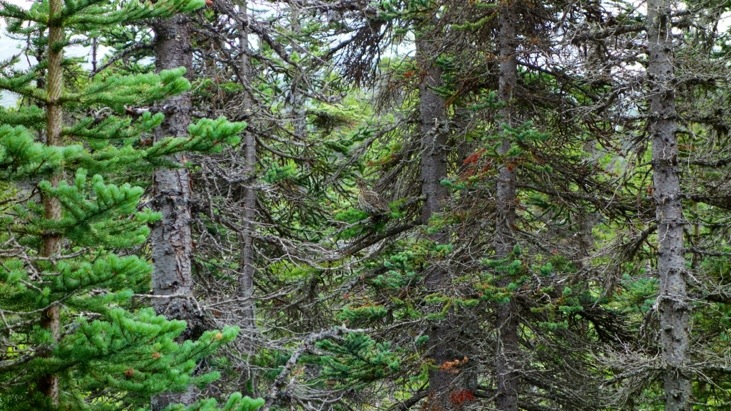
And more wildlife. Can you spot the bird on this picture?
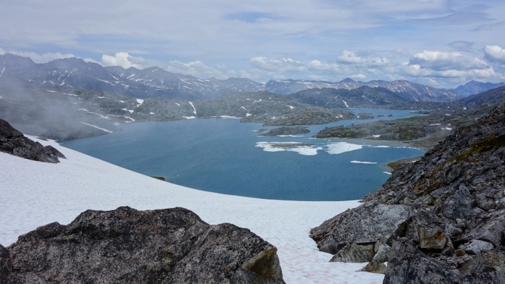
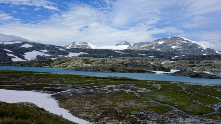
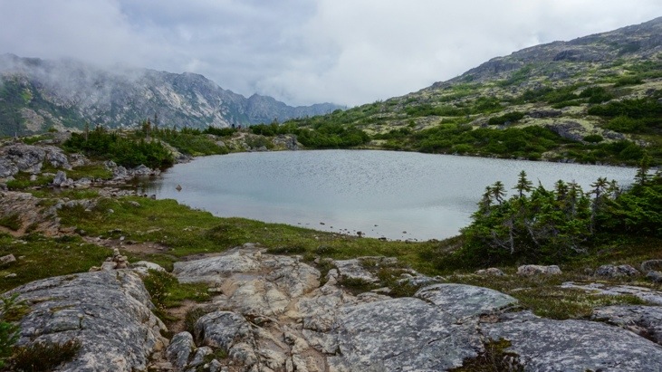
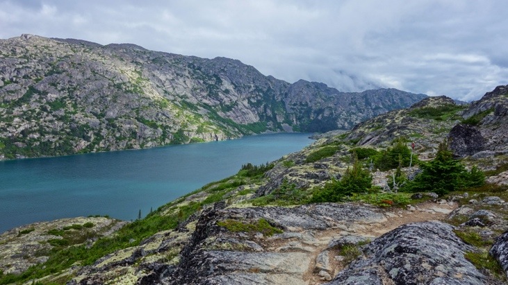
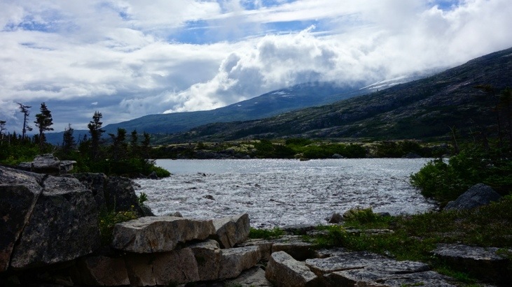
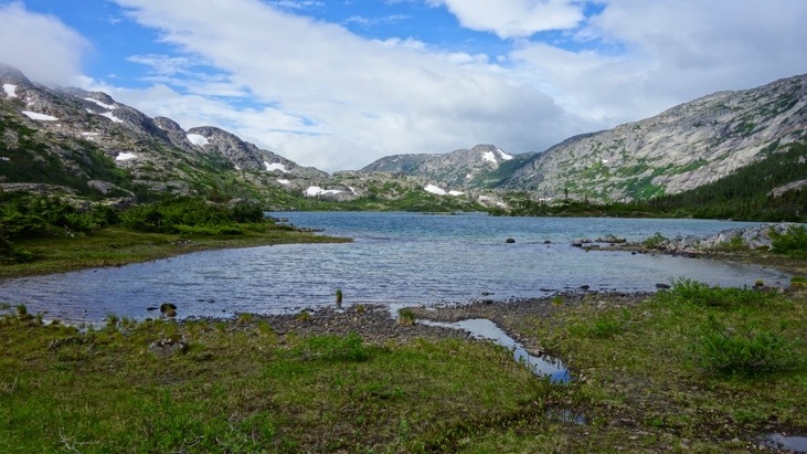
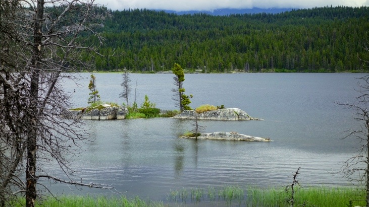
And around Bare Loon Lake
we realized we would manage to finish the trail within a very good hike-time of only 3 days.
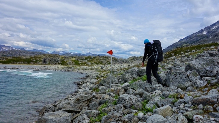
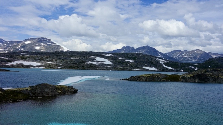
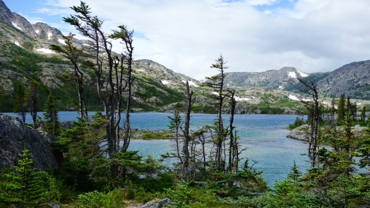
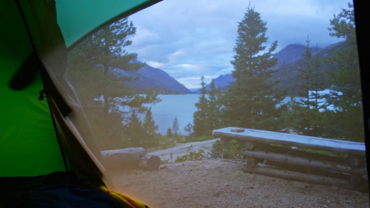
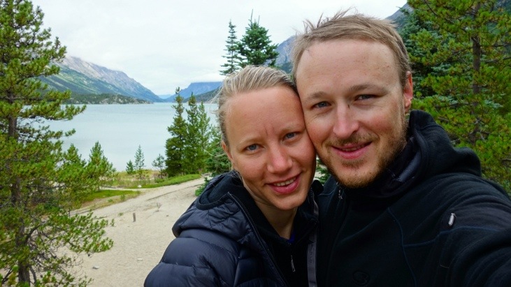
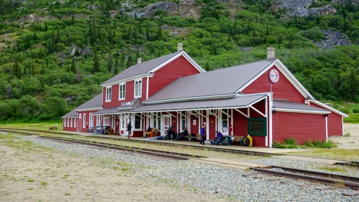
And in the evening of day 3 we finally reached our campground at Lake Bennett.
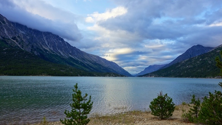
We picked a perfect camp site for our tent with a beautiful view over the lake.
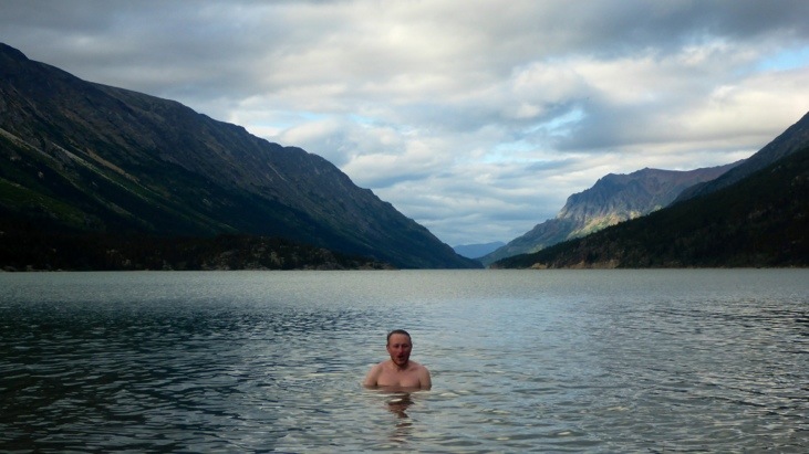
And decided it was time for a bath in lake Bennett.
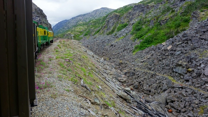
One of the reasons we were so happy of managing the trail in time, is that the only way back to Skagway is by train which leaves only on Tuesdays and Fridays…
By managing the Chilkoot in 3 days we had enough time for a relaxed 4th day until the train came to pick us up and bring us back to Skagway.
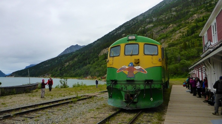
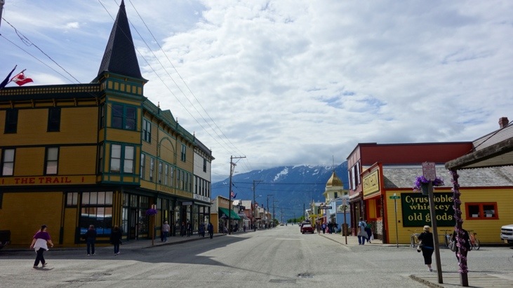
Where we got a hot shower and gave in to all the yummy food and sweets we had been craving for the past days…


Comments
Leave a Reply
You must be logged in to post a comment.
.. Andrew’s cap label says it all: Liberty. What a march! Yee-ha!