27.07.2013Skagway –> Haines Junction
In order to avoid driving the same road up north again we took the ferry to Haines. The one hour ferry ride enabled us to visit the beautiful village of Haines as well as experience the scenic Haines Highway up north.
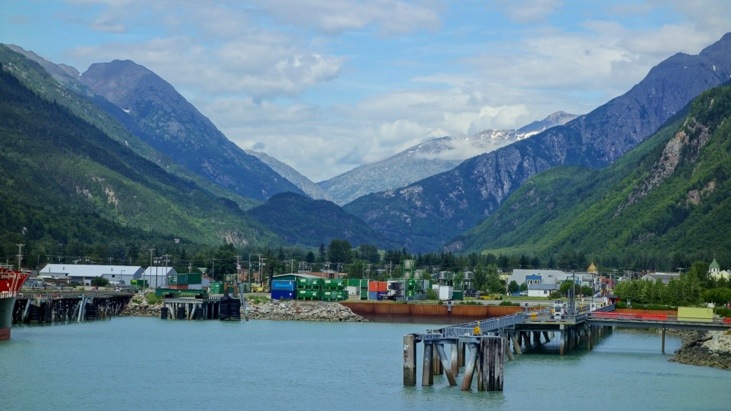
We started the journey by boarding the ferry and leaving Skagway.
On our way out of Skagway harbor we passed some cruise ships,
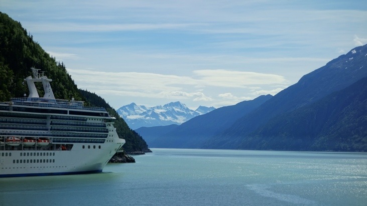
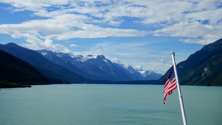
enjoyed the sunny weather
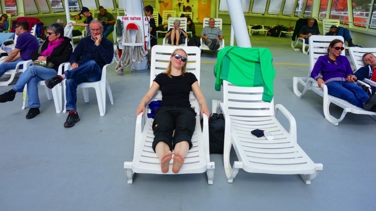
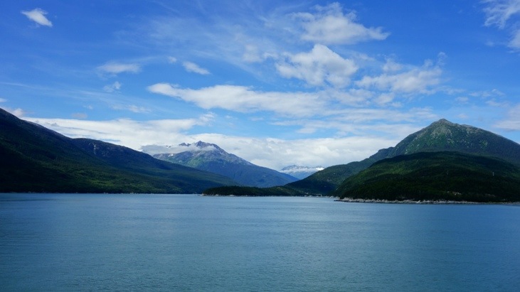
and the scenery whooshing by.
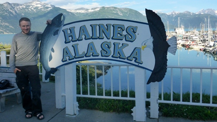
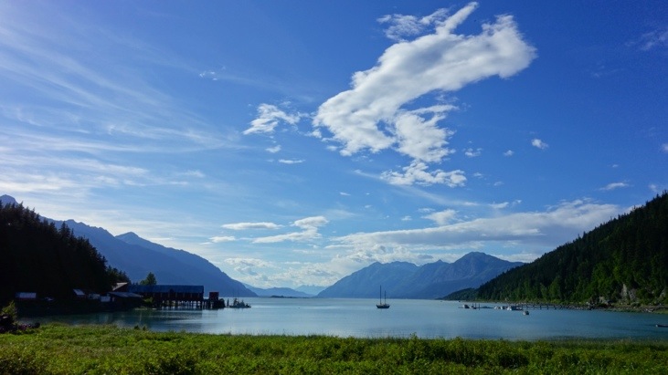
In Haines we were completely smitten by this cute little city. The charm of Haines originates from its location at the ocean while being surrounded by snow capped mountains.
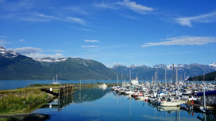
Since Haines isn’t very large we started exploring the surroundings and found breathtaking sceneries around every corner.
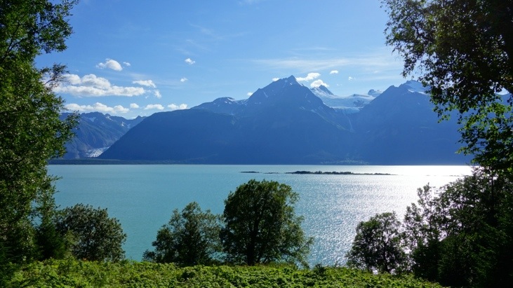
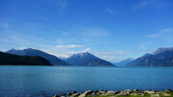

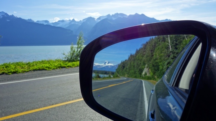
Sometimes we just didn’t know if we should look forwards or backwards…
For dinner that evening we went to the Lichthouse restaurant right at the harbor.
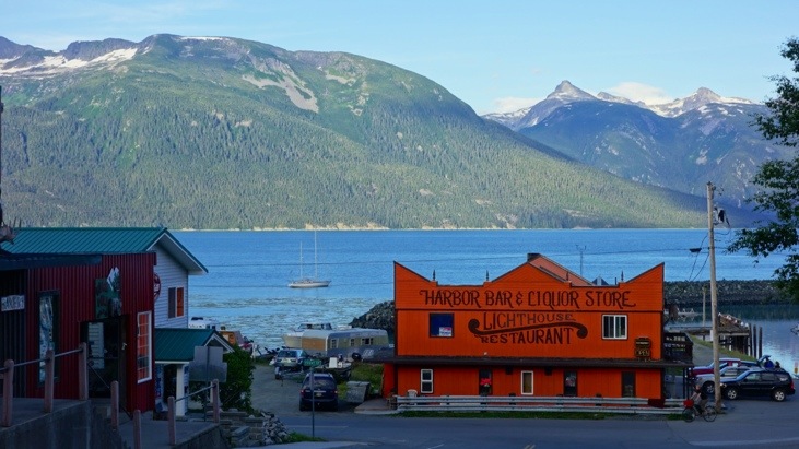
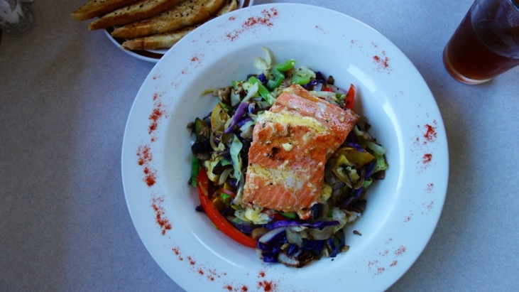
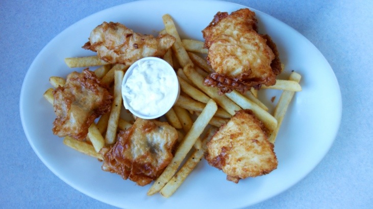
And while service was amazingly unorganized and slow the view was superb and the food was delicious!
Fresh grilled salmon on locally grown vegetables
Fried halibut and red snapper filet pieces.
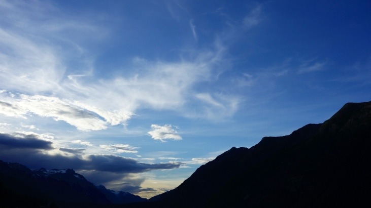
For sundown we drove to the Chilkoot Lake just north of Haines. On the way there we had an unexpected encounter with a Grizzly bear who decided to enjoy one of the first salmons of this season right on the street. What a grandiose viewing of wildlife just meters from our car!
After the grizzly took off into the woods leaving only the fish head on the street we continued our sundown viewing trip to the lake. Still being all excited from this encounter we enjoyed the marvelous view even though the sun had already disappeared.

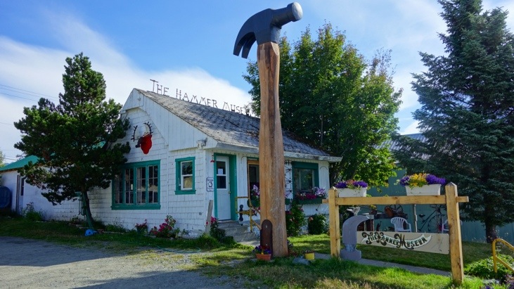
If you ever wanted to know everything about hammers, Haines or respectively the Haines hammer museum is the place to go…
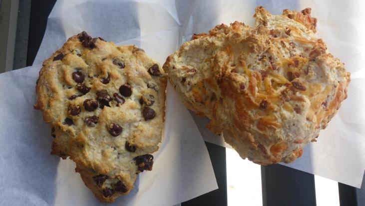
The next day we started out with a chocolate and cheese scone & coffee breakfast before we headed up north along Haines Road.
The road was built in 1944 as an alternative to the White Pass Railway during World War II and closely follows what was known as the Dalton Trail. This trail was established by Jack Dalton in 1894 and consisted of a series of road houses and trading posts. The Dalton Trail followed existing Indian trails which had been used extensively for countless generations. It is also one of the routes that many gold miners travelled to reach the gold fields during the Klondike Gold Rush.
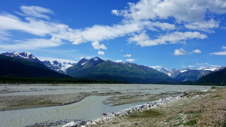
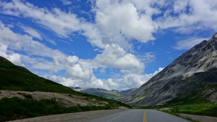
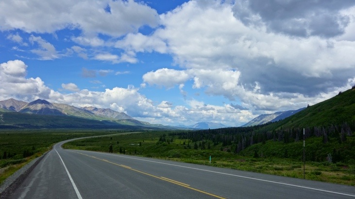
Haines Road starts at sea level and follows into the valleys before it climbs the coastal mountains.
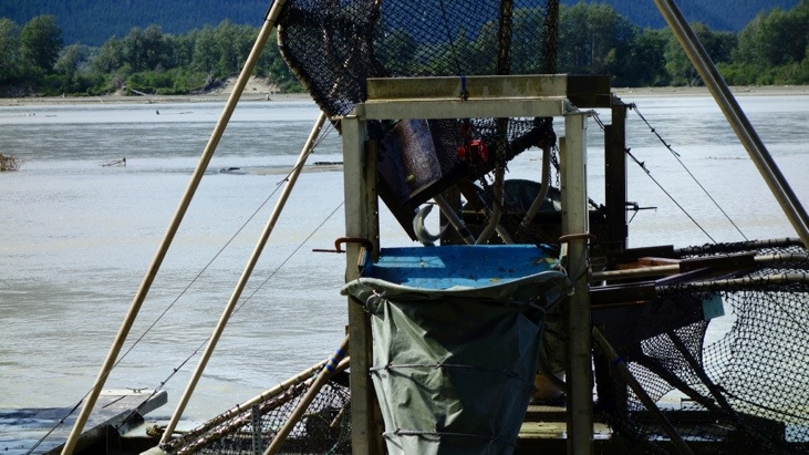
Along the rivers which are home to salmon we saw several automatic salmon catching devices. Their principal is copied from the devices the First Nation people used and does not require any motors. It makes use of the rivers current and the stubbornness of the salmon swimming against encountering barriers.
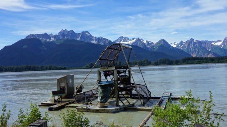
It catches the salmon alive and stores them in the barrels floating in the water at both sides of the device.
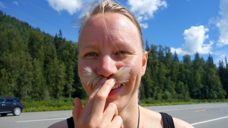
Seems like somebody is envying Andy’s beard 😉
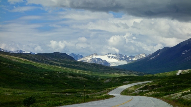
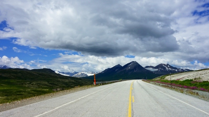
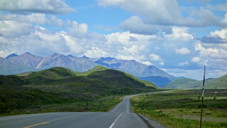
Continuing the road into the mountains:
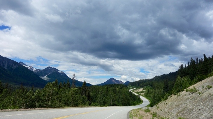
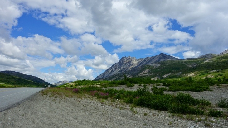
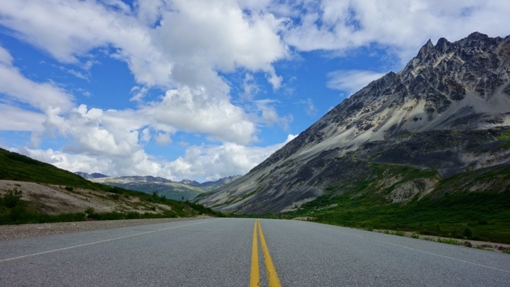
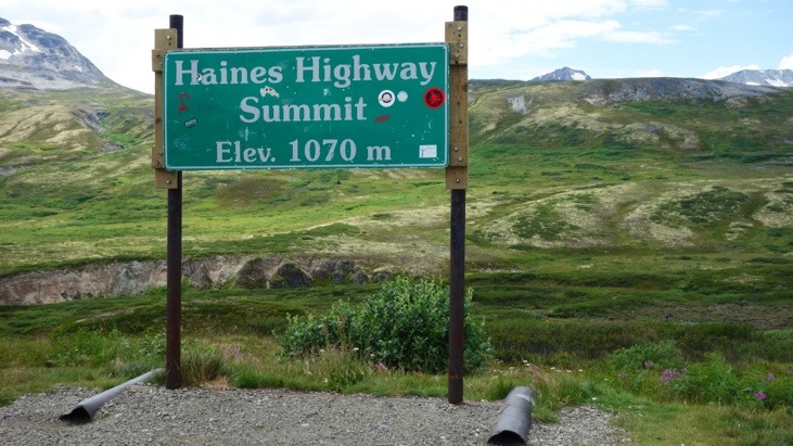
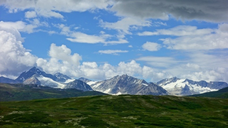
Until we eventually reached the summit of the pass at 1070 m.
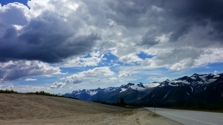
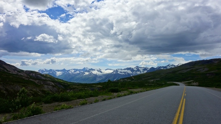
On this plateau the road continues between the snow capped mountains and gradually descends.
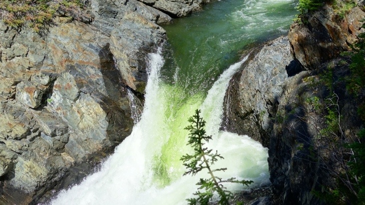
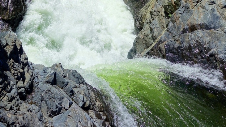
We passed the million dollar water falls located at a highway construction site previously occupied during the building of the Haines Road.
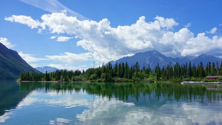
Until we reached Kathleen Lake close to Haines Junction, the final destination of this post 🙂
Leave a Reply
You must be logged in to post a comment.