24.01.2014Abel Tasman Coast Track – Hiking Sunny Beaches

The Abel Tasman Coast Track is surely one of NZ’s most famous Great Walks. It is located on the South Island’s north shore and leads along the shore of the Abel Tasman National Park. With the mild climate, the golden beaches and the coastal bush it is different to all the treks we have hiked so far. How could we resist?
You can get an overview of our three day hike with this interactive Google map (if you wait for it to load you can zoom in on all parts of the trek; be careful when using the mouse wheel while the mouse cursor is located on the map!):
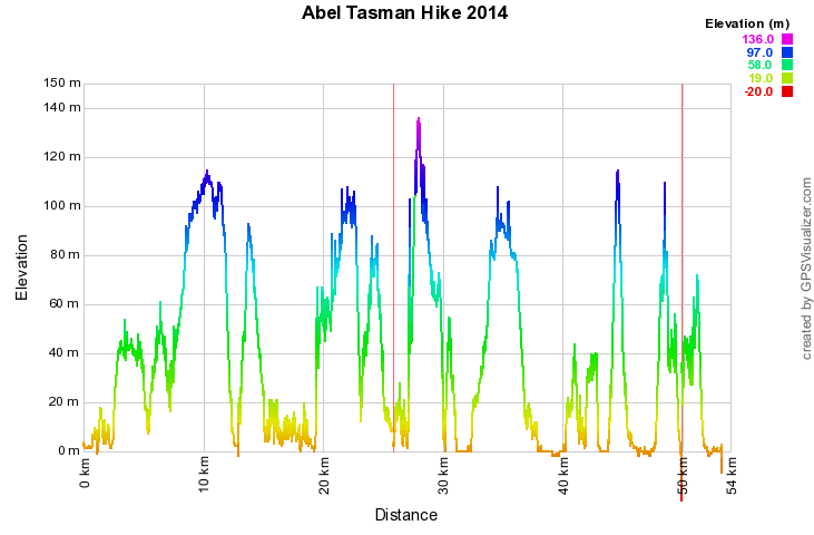
The elevation profile of the trek nicely shows that despite the continuous up and down we kept returning to see level:
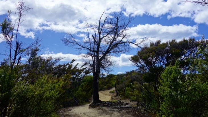
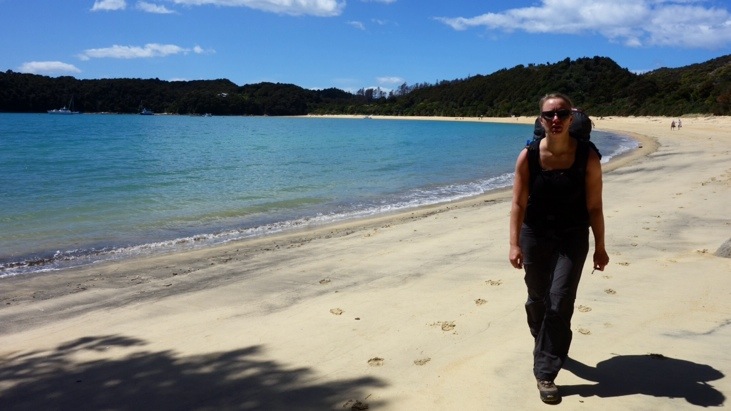
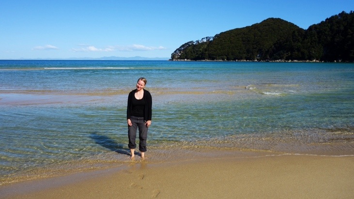
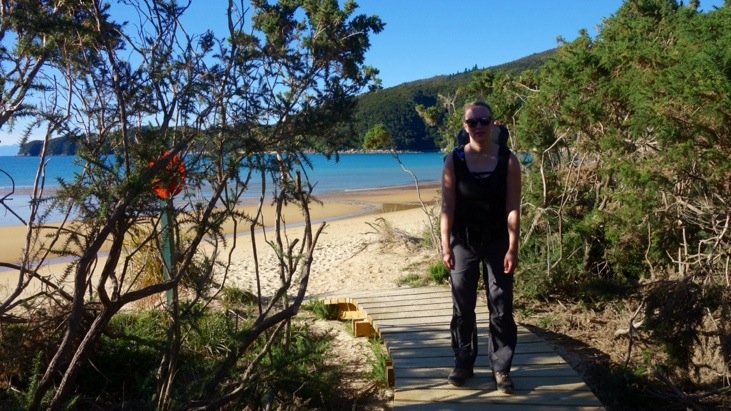
With blue sky above and sparkling ocean to our right we started the trek from the south, close to Marahau village. Just a short walk from the car park we crossed the estuary over the Marahau causeway and followed the trek along the coast:
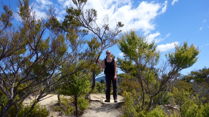
Along the way the trek frequently climbed up over headlands before dropping back down to the coast.
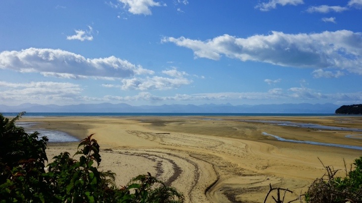
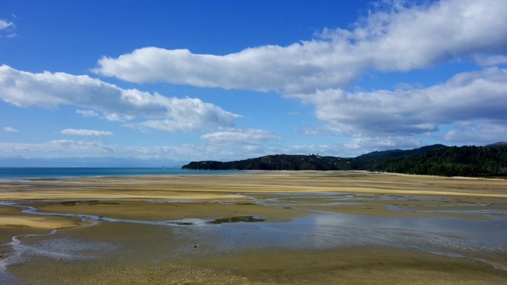
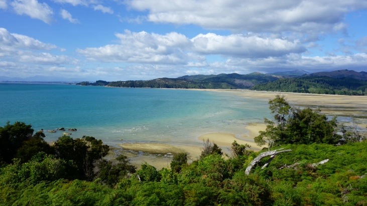
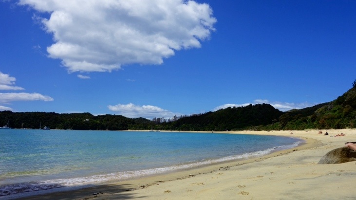
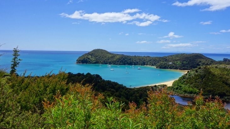
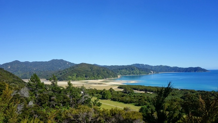
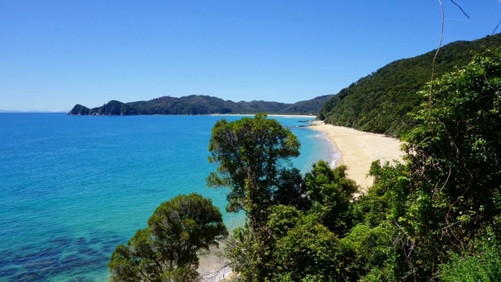
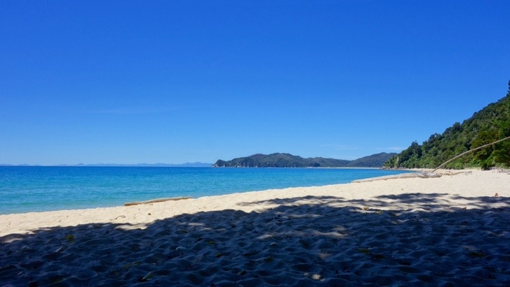
Sometimes we had great views of the golden beaches and aquamarine water below:
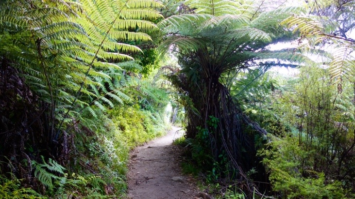
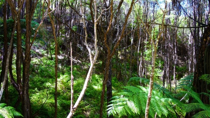
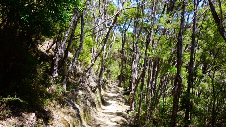
Parts of the way led through beech forest:
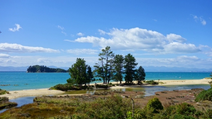
And the trek kept turning inland and back to the ocean while winding along little coves:
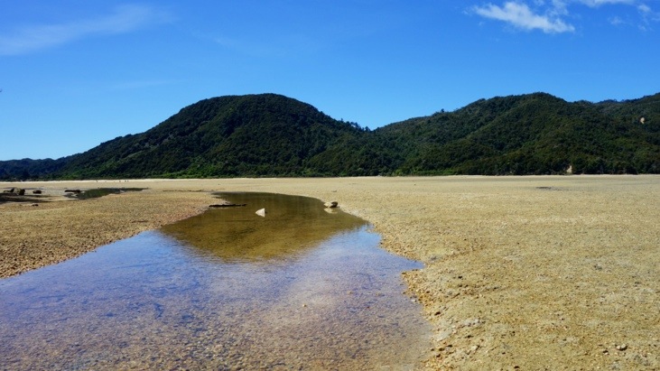
After passing Tinline, Coquille, Apple Tree, Stilwell and Akersten Bay we descended to Anchorage Hut which is located close to Torrent Bay.
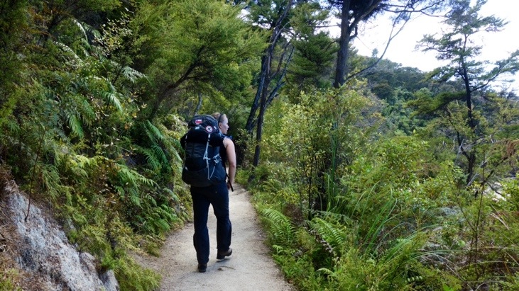
As the sun did its best to roast us, it was very pleasant when we could walk through the shady forest:
But we also enjoyed the parts were we walked along the beaches. “Hiking” the beaches in our boots did feel somewhat unfamiliar when we usually walk them barefoot… 🙂
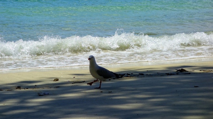
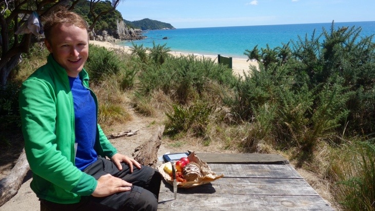
At this beach we had a lunch break and ate some of our sandwiches. We found a nice spot in the shade and relaxed a bit.
This seagull kept sneaking around us, trying to get a share of our food 🙂
From here the trek led back up into the woods and once in a while we had a beautiful view over the ocean:
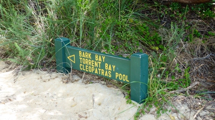
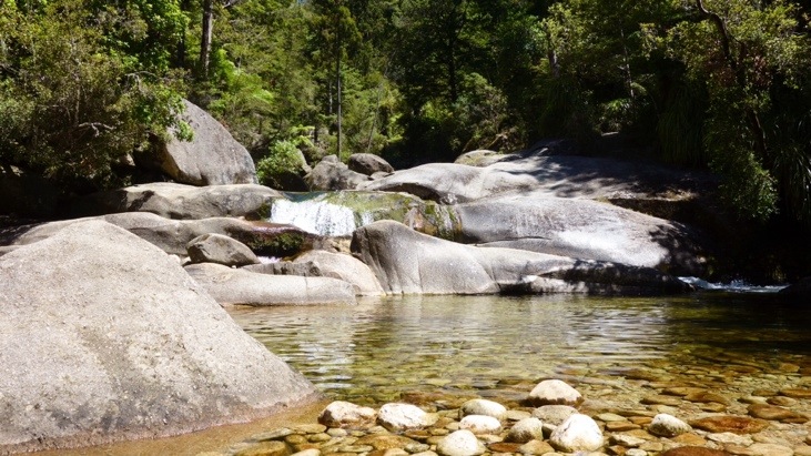
The short side trip to Cleopatras Pool was really worth it! Consisting of huge boulders the pools form in between them in areas rinsed out by the current. The water was clean and cool. Just perfect for a short swim and to cool down on a day like this!
All refreshed we continued on along the rolling forest hills and dense green bush:
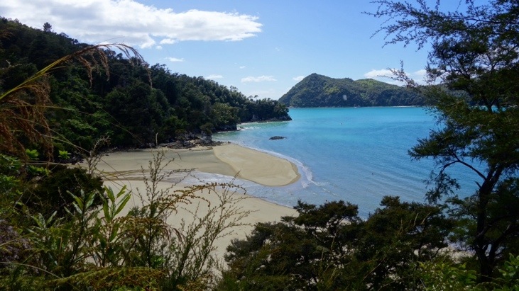
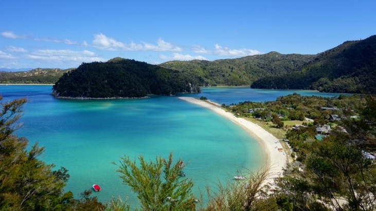
The view over Torrent Bay after climbing another one of those forest hills:
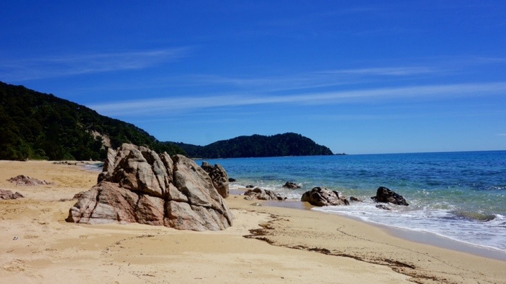
We continued on for a couple more hours along the beautiful coastline:
And in the late afternoon we reached Bark Bay after around 25 kilometers and 8 hours. This idyllic campsite located right at the beach was to be our shelter for the night. Only few meters from the beach we never would have thought just how relaxing it can be to fall asleep while listening to the waves washing up on the beach. Perhaps being fairly exhausted after hauling our heavy packs through the heat of the day did its part, but that night we both slept like newborn babies 🙂

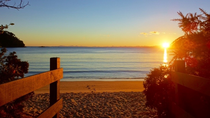
But before going to sleep we refreshed our tired feet, washed ourselves and cooked up a little pasta dish.
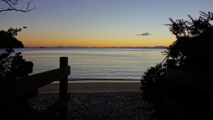
We finished just in time to sit down at the beach and enjoy a perfect sunset.
What New Zealand lacks in things that want to kill you: mountain lions, snakes, bears, etc., it makes up for with sand flies. But luckily that evening the sandflies weren’t too bad 🙂
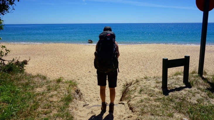
Next morning we got up at the crack of dawn, packed up our equipment and after a quick oatmeal breakfast we started off. Not only did we have quite a distance to walk today, but we also had to cross the Awaroa Inlet before 11 am. After that the tide would make it impassable for another 10-12 hours and we would never manage to reach Anapai Bay campground in time…
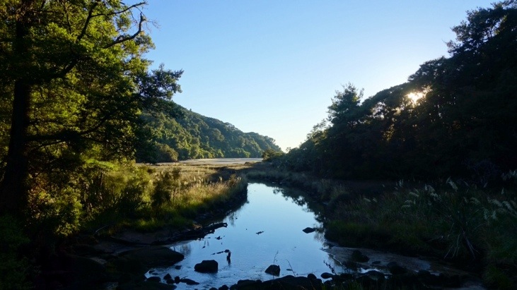
We followed the tide trek along the Bark Bay estuary:
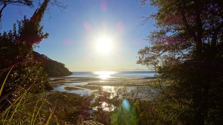
A steep climb took us to a lookout and let us peak out of the forest:
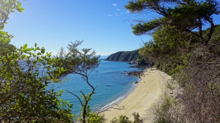
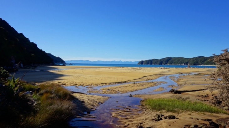
A couple kilometers onward the path returned down to the coast at Onetahuti Bay and we had a short walk along the beach:
We kept hurrying on over to Tonga saddle and finally descended into the Awaroa Inlet. Here the scenery alternates between sandy beaches and rocky headlands of regenerating kanuka:
At this point we knew we had managed to reach the Awaroa Inlet in time! The inlet can only be crossed one hour before low tide and up to two hours after it, leaving a time window of three hours to cross. There are no alternative routes around it and missing the time window means waiting at least another 10 hours before crossing becomes possible again.
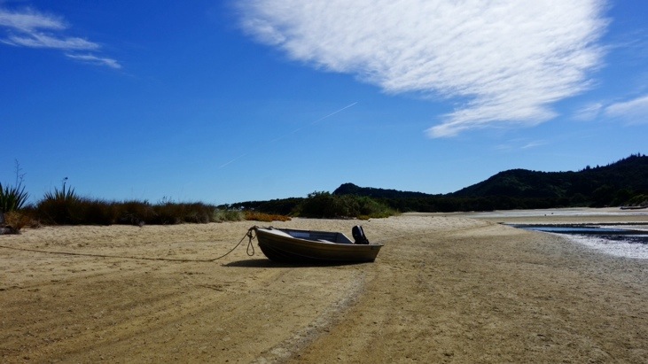
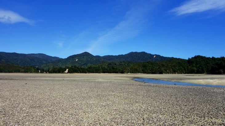
It was odd to see boats lying on the sand with no water far and wide. The tidal difference can be up to 6 meters and we didn’t dare to pause for too long…
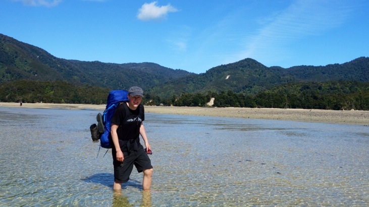
Although we were crossing the inlet during low tide, we still had to wade through some water streams and channels:
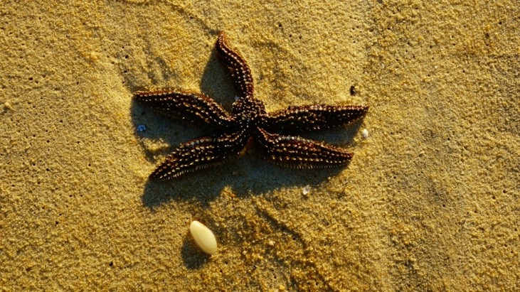
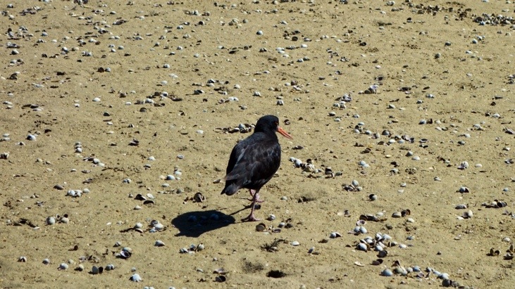
Instead of being only sandy, large areas were covered with thousands of mussels and shells:
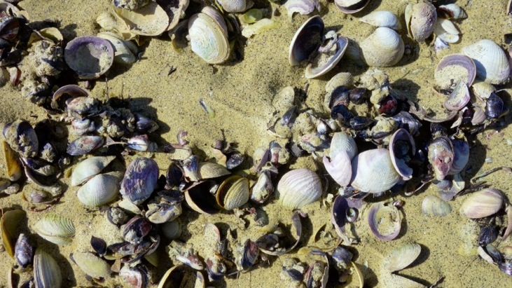
The birds can choose their meal freely as long as they manage to break open the shell:
After about 30 minutes we arrived at Pound Gully, the other and safe end of Awaroa Inlet. We found a nice place in the shade and made a “Brotzeit” with sausages and bread we had brought. Strengthened we resumed the hike.
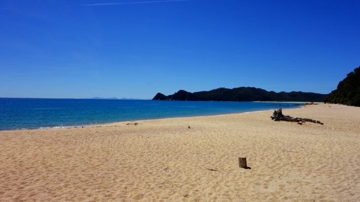
And after another hour we arrived in Waiharakeke Bay:
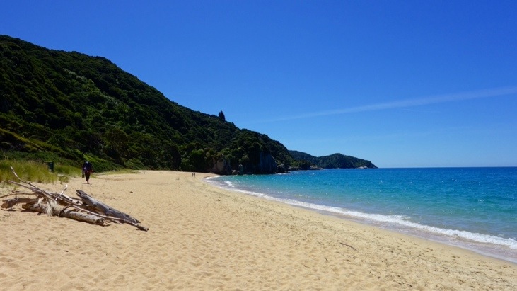
The beach was almost entirely empty and we had it all to ourselves. While it looks beautiful there is no protective shade and the sun started to roast us alive! Sunny beaches like this are definitely not meant for hiking!
Nevertheless we still enjoyed it, but did not linger to long since the next beach was already coming up.
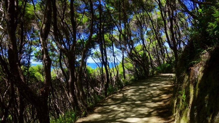
When the way reentered the forest the shade was very welcome, even though there was a steep climb ahead of us:
The next beach was along Goat Bay and since we started feeling like in a sauna we decided to spend more time here and have another longer break:
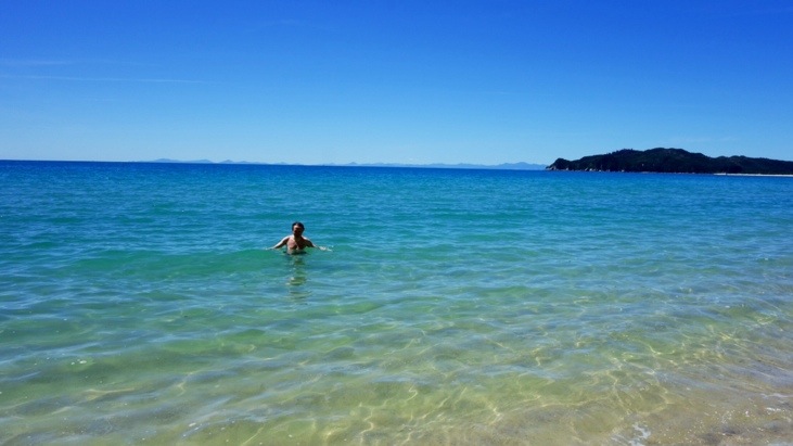
We snacked on some of our precious cookies and Andy went for a very refreshing swim in the Tasman Sea:
After that we lingered some more in a shady place on Goats Beach before we continued on:
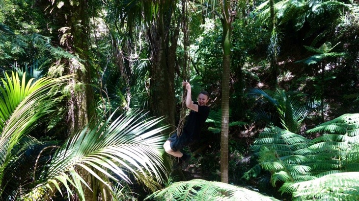
The trek lead on through stands of massive beech forest whose wide trunks soared skyward among the lush green canopy. Suddenly Andy spotted a liana and couldn’t resist from a Tarzan imitation by swinging off the edge of our path…
Not the most elegant Tarzan, but the yell was very close 😉
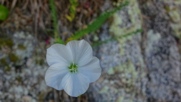
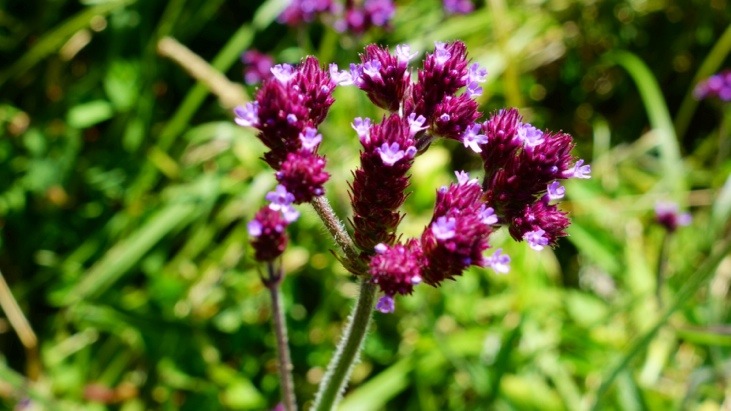
We continued on in the woods and among all that green we spotted some amazingly colorful flowers:
Then came some more exhausting ups and downs:
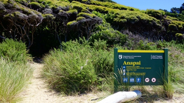
And in the early afternoon we arrived at Anapai Bay, the campsite for that night:
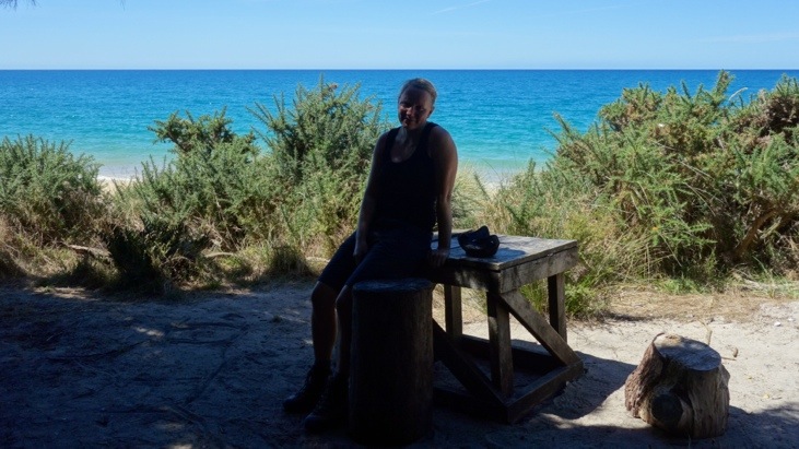
The location was perfect. The small campsite was directly at the beach and protected by the shade of the trees. From the six tent sites we could choose freely, as we arrived as the first:
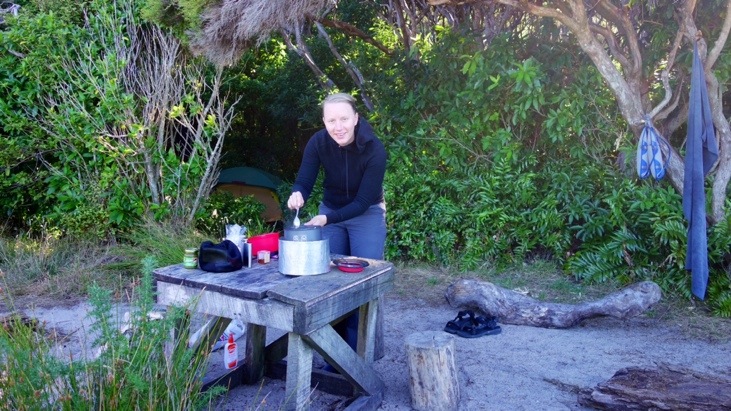
Right next to our tent site we had a little cooking and dining area from which we could overlook the blue sea:
We went for a swim and in the evening prepared some spaghetti with pesto:
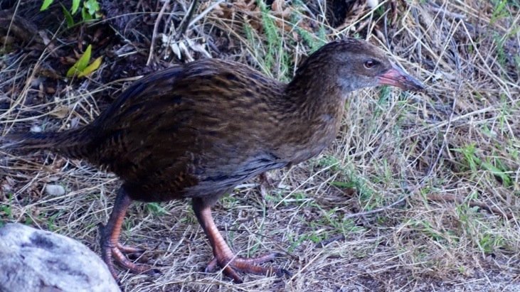
This little weka was our guest and kept walking around our tent site:
On this second and final evening we soaked up the last of the sun’s warmth and felt the satisfying ache of a good day’s walk. As we lay in our sleeping bags that night we marveled at the scenery of the past two days before sleep rushed in.
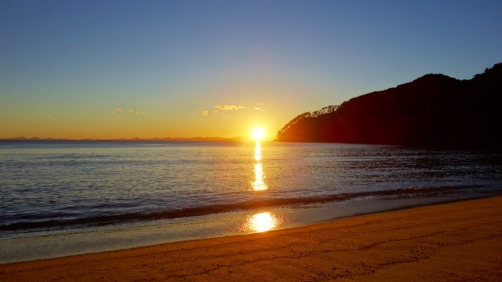
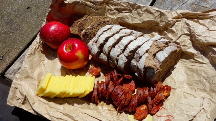
Also that night we slept incredibly deep and sound. The next morning we ate our last supplies for breakfast, surrounded by a perfect scenery:
Spicy salami, cheese , bread and two apples: Has anything ever tasted so delicious?
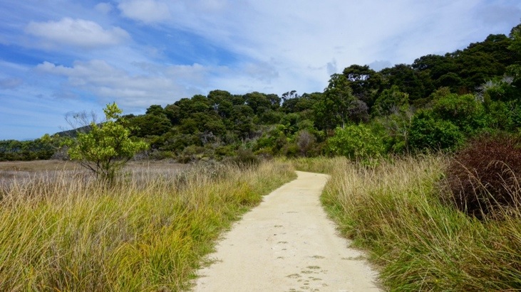
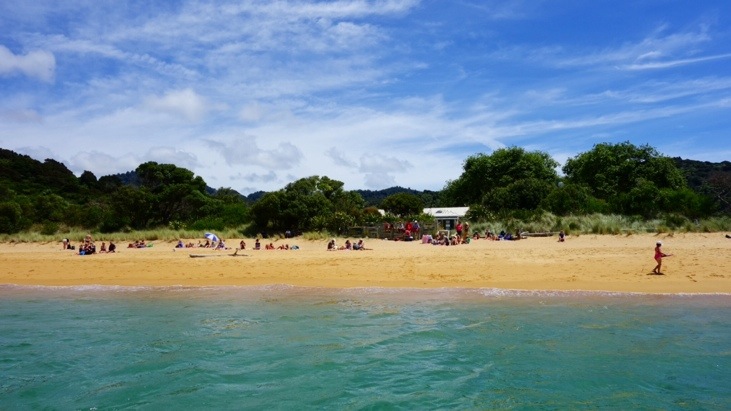
We left the campsite around noon and walked back to Totaranui:
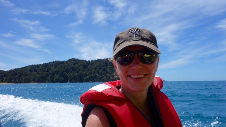
There we were picked up by an Aqua Taxi at the beach:
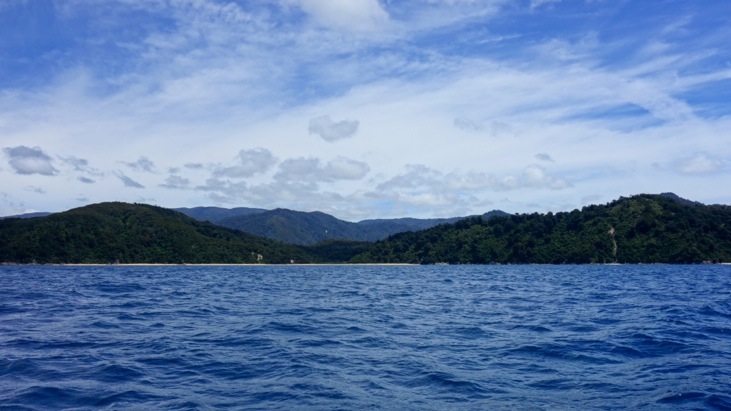
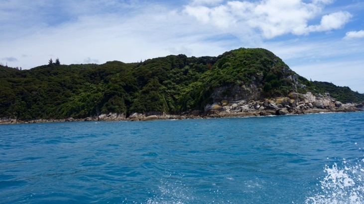
Within only a couple of hours we passed by all the coastline we had hiked during the past two days:
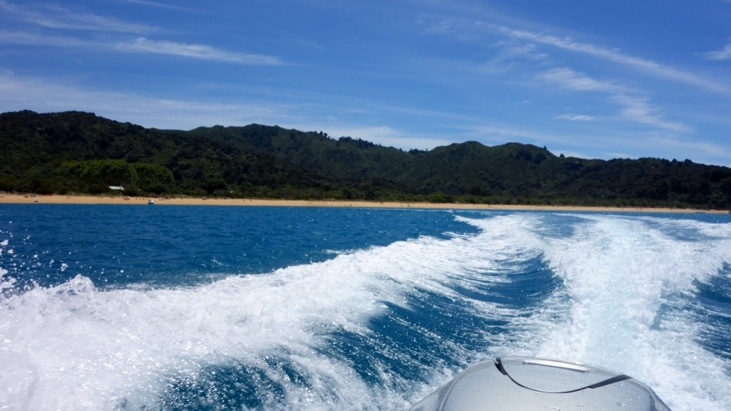
From the ocean it looked entirely different but we still recognized several spots from along the way.
Despite having seen stunning photographs of Abel Tasman National Park in brochures, the beauty of its turquoise waters, golden beaches and limestone coastlines exceeded all our expectations.
Rolling hills clad in dense green bush, topped with towering ferns and crisscrossed by crystal clear creeks, all tumbling down towards the shores of the deep blue sea where a curvy sweep of pale
white sand divides solid ground and whispering waves. That is about how we would describe the Abel Tasman Coast Track.
It was a totally different landscape compared to our other treks and well out of the ordinary. Passing by beautiful beaches and refreshing in the cool ocean after walking the roasting beaches or shady forests. A trek we will never forget!
This entry was posted in Australia, WorldMap
Leave a Reply
You must be logged in to post a comment.