04.02.2014Tongariro Crossing – NZ’s Best Day-Hike?
Our next adventure starting from Taupo was the Tongariro Alpine Crossing, a 20-odd kilometer trek in the central North Island that winds up steep volcanic mountains, through alpine valleys and along exposed ridge-lines. The crossing located in Tongariro National Park is one of New Zealand’s most spectacular treks and considered the most popular one-day hike. It passes over the volcanic terrain of the multi-cratered active volcano Mt Tongariro and the eastern base of Mt Ngauruhoe which can be climbed as a side trip.
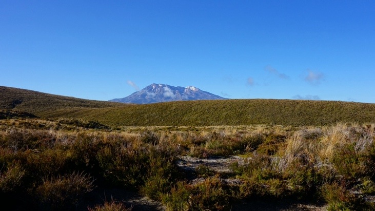
That morning we got up at 5 am, packed our provisions and drove for about an hour to the Ketetahi car park. From here we were picked up with a bus that brought us to the trail-head at Mangatepopo. At first we were a bit doubtful if the weather would be as good as forecasted, but as we pierced through the low hanging clouds and bright sunlight peaked over the snow-capped Mount Reapehu we knew it was going to be a good day.
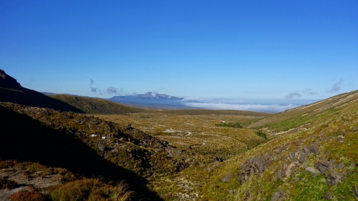
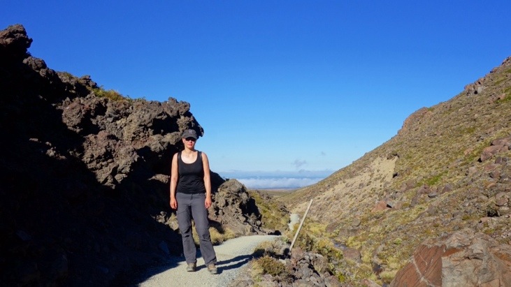
The first part of the path led us along Mangatepop’s stream and looking back you can see the clouds hanging in the valley:
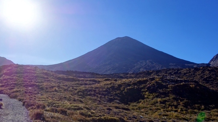
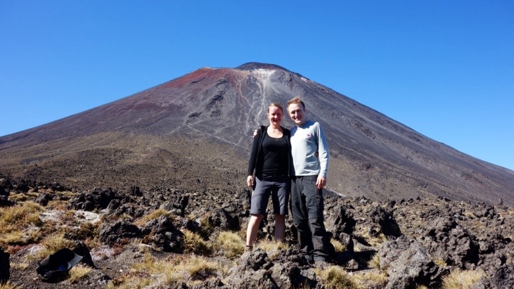
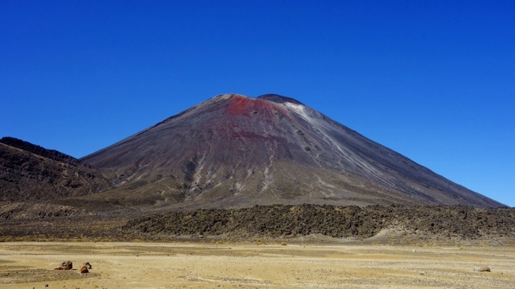
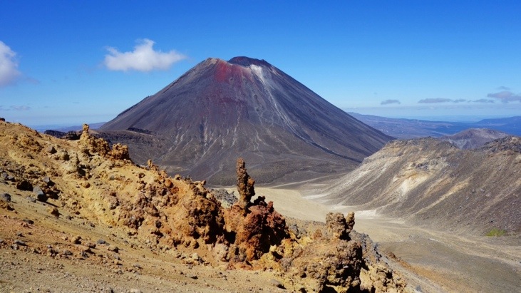
Mt Ngauruhoe gave the scenery a beautiful touch and Lord of the Rings fans might have already recognized it. This hike takes you through the heart of “Mordor”, passing by “Mount Doom”, or in our case Mt Ngauruhoe.
After the path slowly climbed up out of the tussocks and into the volcanic rock we arrived at Soda Springs and decided to take a quick break and amuse ourselves with the clothing choices of some of our fellow hikers. Apparently jeans, a skin-tight long-sleeved shirt, sandals(!) and a trilby is perfect alpine hiking gear. Who would have thought?
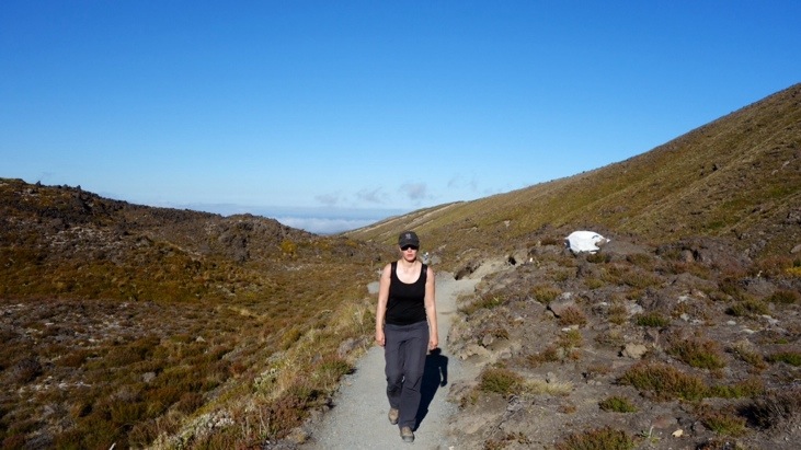
The aptly-named Devil’s Staircase was a steep, sweaty climb, ascending around 300 m up the rough volcanic path. Paces started to slow, and for some reason our friend in the jeans and trilby seemed to be finding it hard going…
The cloudless sky didn’t do much for comfort levels, but it made for some incredible views:
Reaching over the top of the rise we had a first “Brotzeit” at South Crater and ate our first sandwich while enjoying the view:
Speeding across the vast dusty basin:
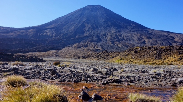
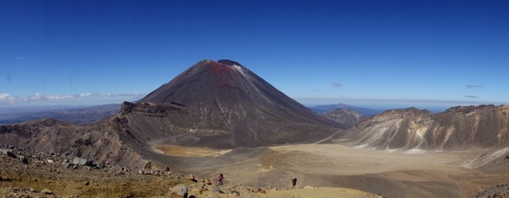
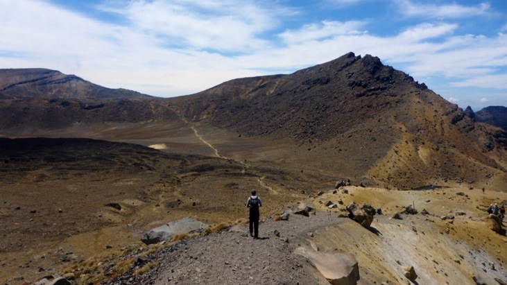
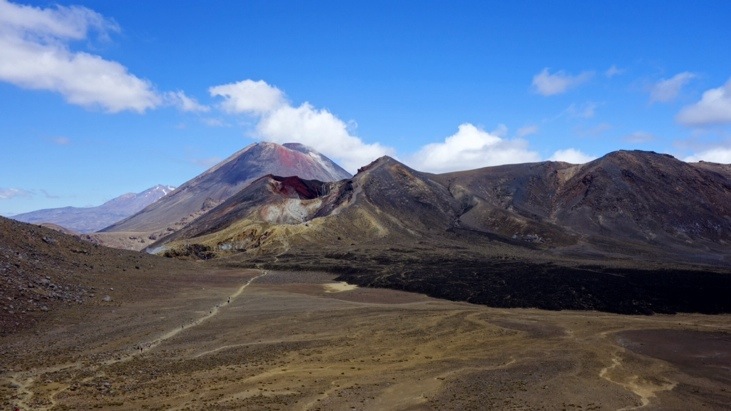
All too soon we hit the other end of the basin and started the next climb. But not without enjoying some more of the dramatic view of “Mount Doom”:
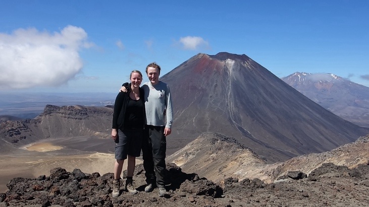
Reaching the top of Red Crater Ridge we knew we had managed the major ascents. The view over South Crater and Mt Ngauruhoe and a perfectly blue sky in the background. We just didn’t get tired of this jaw-dropping view:
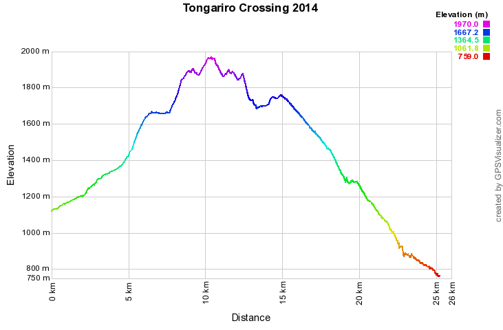
Once again we carried our GPS tracker with us. Here you can see an interactive Google map of our entire Tongariro Crossing crossing. Starting from the bottom-left of the map, we had just reached the point were you can see the little branch-out to the left:
And the elevation profile of the trek:
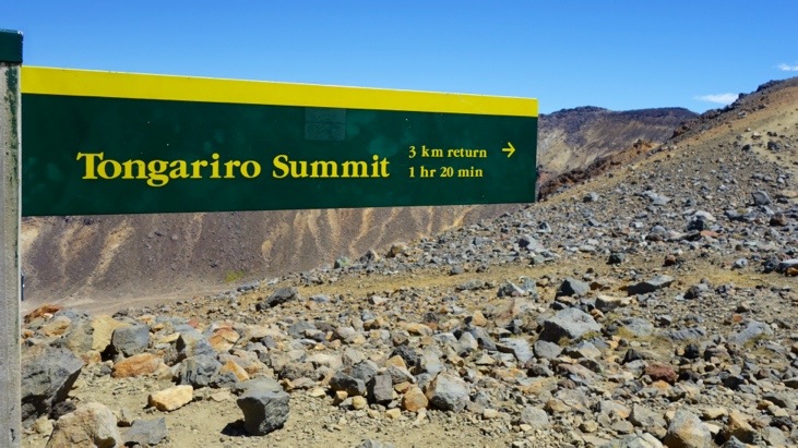
From Red Crater Ridge we decided for the side trip to the summit of Mt Tongariro:
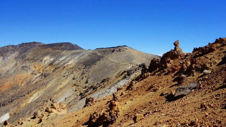
Without any plants the landscape gave us the impression of walking on the moon:
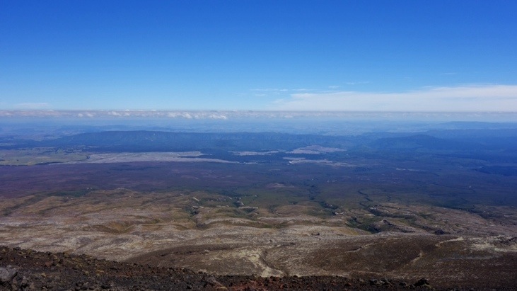
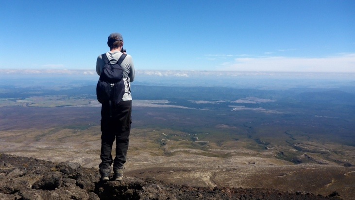
As we clambered up the final few rocks to the summit we saw the view stretched out before us:
A picture of Andy taking a picture 🙂
This was the best point and time for another “Brotzeit”! We enjoyed some more of our sandwiches and sweets while taking in the amazing views.
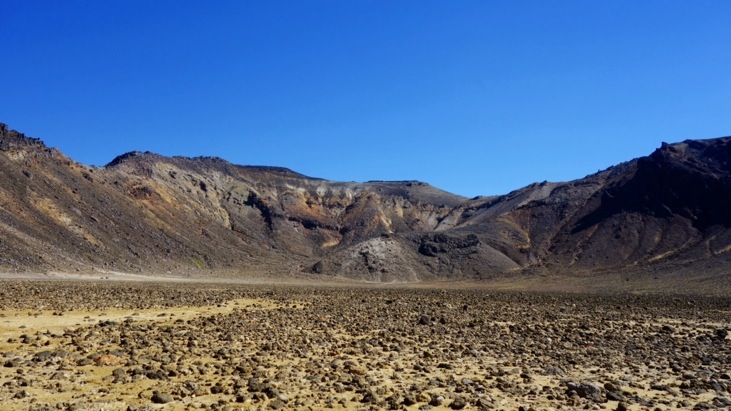
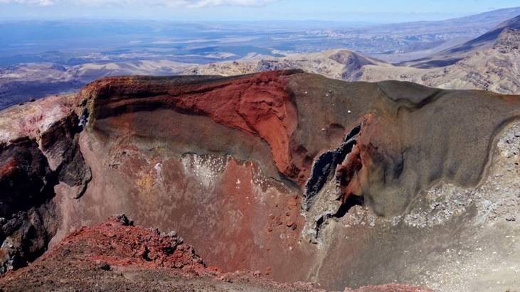
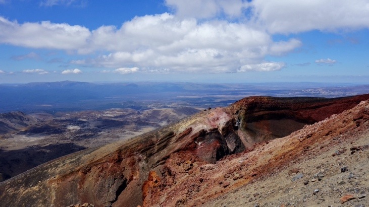
Strengthened and again full of energy we walked back to Red Crater Ridge. Now we also understood why it got its name: The burgundy colored gash in the mountainside, rimmed by black volcanic rock and lighter sands:
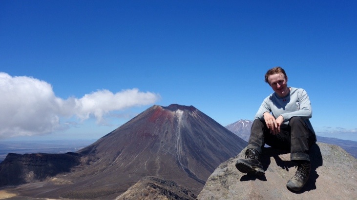
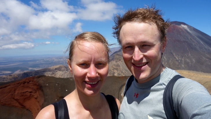
From here on we would almost only be walking downhill, hence our big smiles:
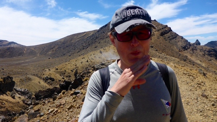
Continuing on towards Emerald Lakes we were hit in the face by a smell of rotten eggs. This hydrogen sulfide gas smell indicates volcanic activity and ensures you don’t want to linger around too long in the wrong wind direction 🙂
As we descended down Red Crater Ridge we saw more of the red shaded iron oxide earths:
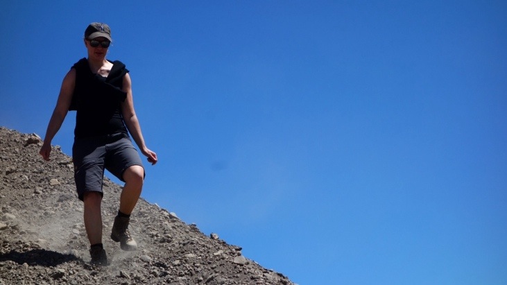
The slope was pretty steep but getting down from the highest point at Red Crater to the Emerald Lakes was fun. The way is made up of soft sand and gravel, but our hiking boots allowed us to slide down the hill in great stomping strides, putting the heel down firmly and sliding down with the scree.
The guy in the sandals on the other hand…
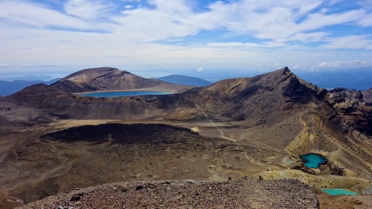
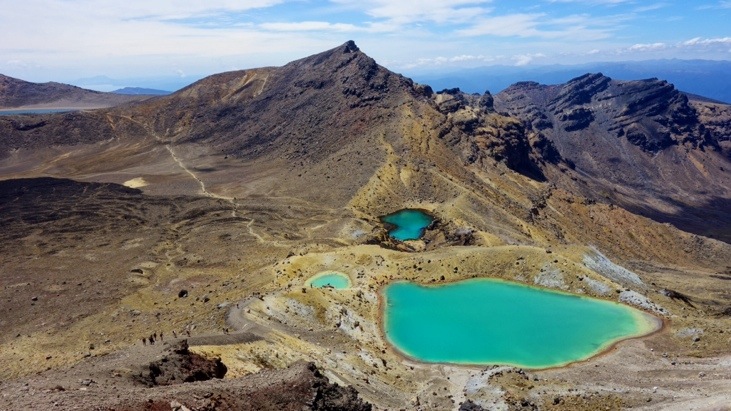
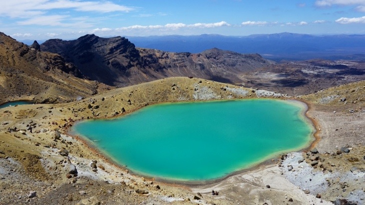
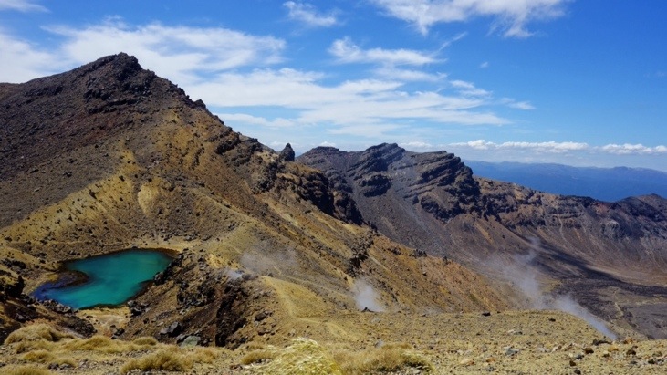
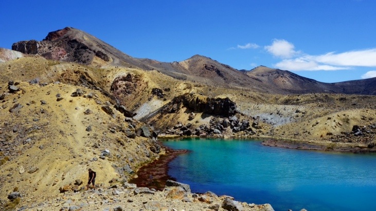
On the way down we enjoyed the stunning view over the Emerald Lakes. They get their brilliant green color from minerals leaching from the adjacent thermal areas and the Maori name is “Ngarotopounamu” which translates to green-stone-hued lakes.
The Lakes look like swimming pools, but swimming is not an option unless you’re out for a chemical peel. The upper lake went right to the rim, overlooking the countryside below like an infinity pool:
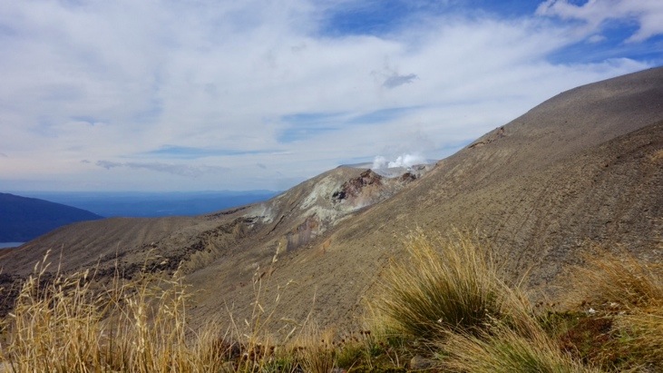
Uprising steam vents remind that the ground we are standing on is hot and this is an active volcanic area:
Looking back from Blue Lake over Central Crater:
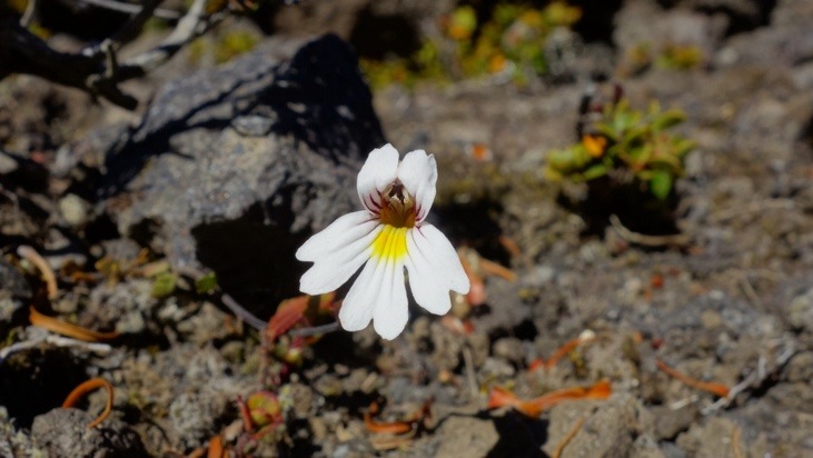
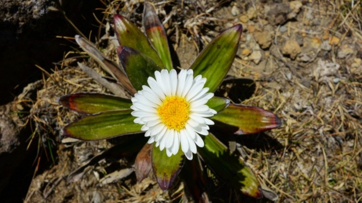
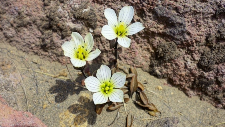
As we slowly descended we now also started to see plants and flowers again:
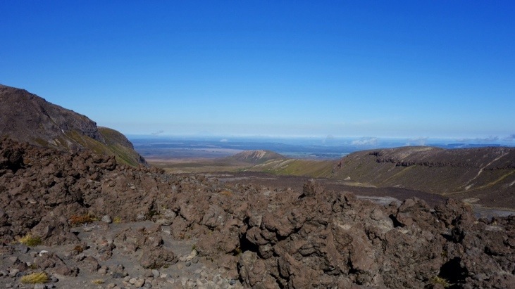
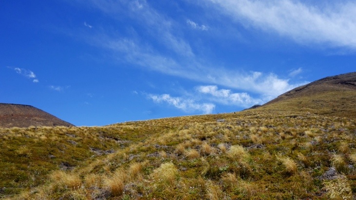
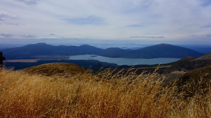
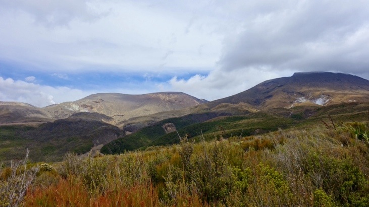
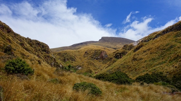
From here on the path descended through the Rotopaunga valley and weaved through tussock and low shrubs, offering views far into the valley and over Lakes Rotoaira and Taupo. First a look back up:
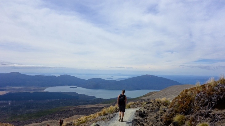
And here the views into the valley:
As we continued on we watched the landscape gradually become greener and lusher. The shrubs grow taller at this lower altitude, and the country side slowly changed to bush.
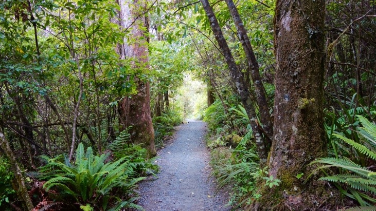
Eventually we descended into the humid forest and the last hour was probably the most difficult as there are no views and the feet are starting to get sore.
What an exhilarating day we had. The best day-hike in New Zealand? Definitely!
This entry was posted in Australia, WorldMapComments
Leave a Reply
You must be logged in to post a comment.
Great to see both of you so happy (collecting these pictures in a secret folder for the day we meet again) 😉