28.02.2014Fraser Island – An Island Built on Sand

200 kilometers north of Brisbane and just off the coast of Hervey Bay, is World Heritage listed Fraser Island – the largest sand island in the world and the only place on the planet where rainforest grows on sand. With over 120 kilometers length and 25 kilometers width, the Island has developed over a time period of 800’000 years.
Named after Captain James Fraser who ran his ship “The Sterling Castle” aground here in 1836, the island is picturesque and has an unique ecosystem. Apart from loads of sand, there are woodlands, forests and mangroves and various species of birds, reptiles and amphibians.
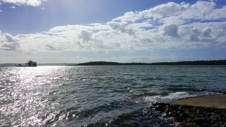
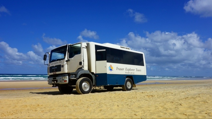
Since the island is entirely made up of sand and no paved roads exist, it is only driveable by raised 4WD cars with especially wide tires. Since our car did not meet any of these requirements we decided to join a guided Fraser Island tour. We were picked up in the morning and set over to Fraser Island by ferry.
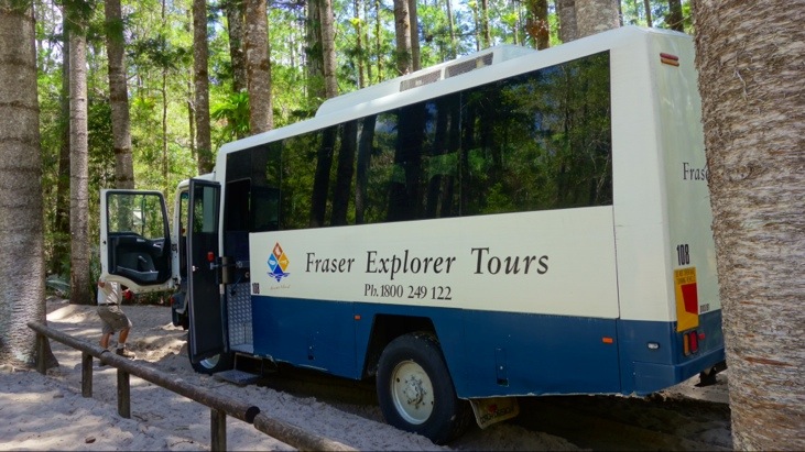
On the island we boarded our 4WD “Explorer Bus” which would be driving us around on the island:
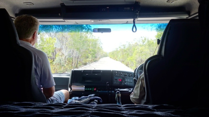
We managed to sit in the first row and additionally got to enjoy a good view out of the front windshield:
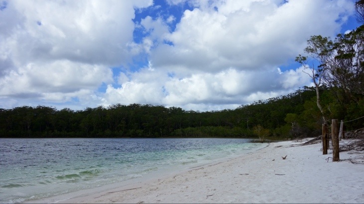
Our first stop was at lake MacKenzie which is a large perched lake with crystal blue waters and white sands. While the island is entirely surrounded by salt water, lake MacKenzie is a freshwater reservoir. Hundrets of centuries of organic sediments prevent water from leaking through the sand and have enabled the formation of the lake.
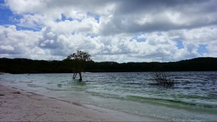
Some also refer to it as the jewel of Fraser Island.
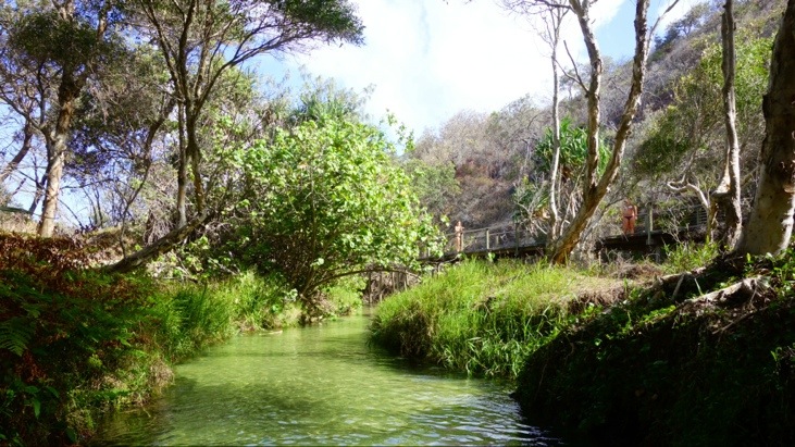
Not too far from MacKenzie our next stop was at the fresh water creek Wanggoolba.
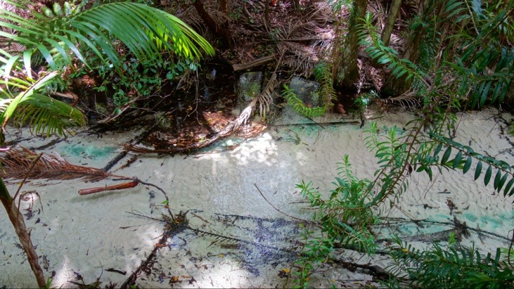
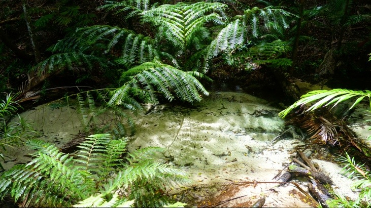
We followed a track running along the creek with its crystal clear water flowing over white sand and through a rainforest valley. Parts of the creek were outlined by giant fern trees:
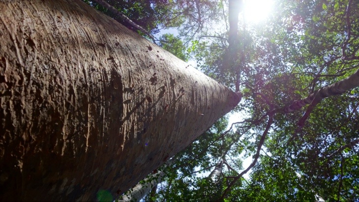
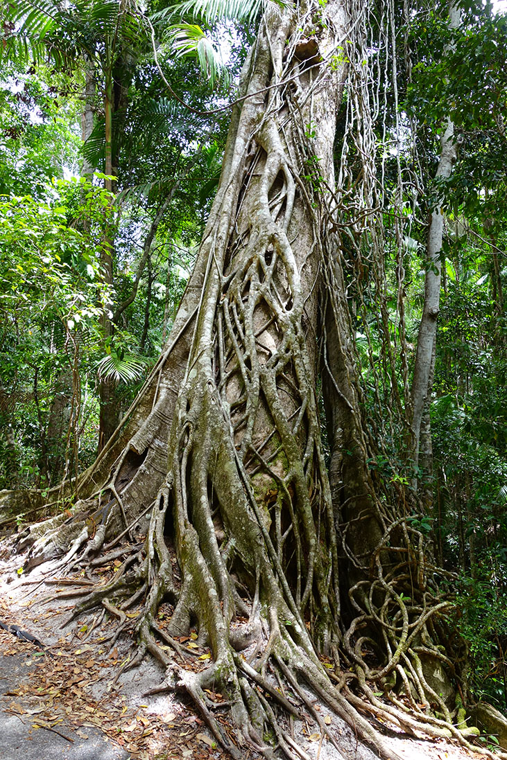
Despite the sandy underground which is a very unlikely soil for rainforest vegetation the trees grow very high. Here for instance the piccabeen palm tree. It grows very tall and straight so it can access sunlight and only has very few lower branches so it can put all the energy into growing up towards the sun. The top branches spread like an umbrella to form a canopy. Featuring a lot of oil, the wood of many of the trees is nearly waterproof and thus very useful for the construction of ships:

We passed an impressive strangler fig:
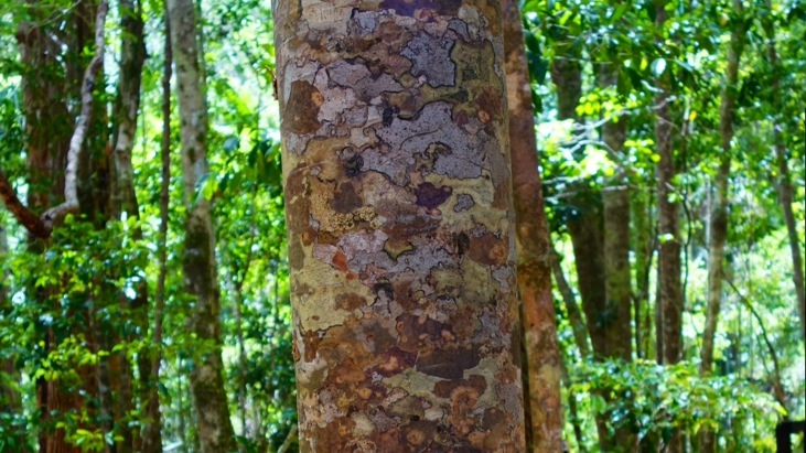
The Platan tree were used as template for the camouflage pattern of Australian military uniforms:
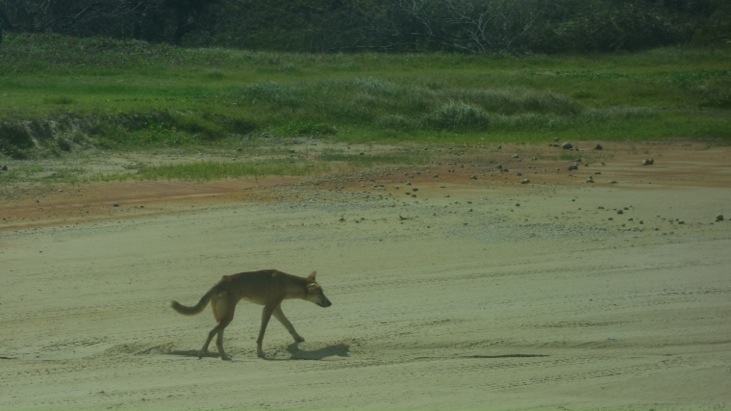
As we continued on we saw some of Australia’s wild dogs, or dingos. There are about 150 dingoes on Fraser Island and they were probably set out by early Chinese sailors as provisions for the way back to China.
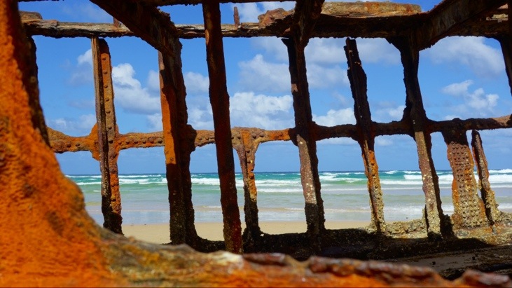
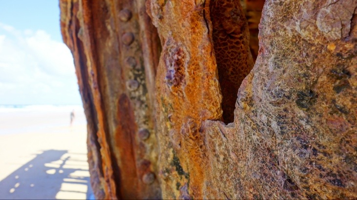
Our next stop was the famous Maheno shipwreck. During a storm the retired passenger steamer Maheno was forced ashore in 1935 while being towed to Japan.
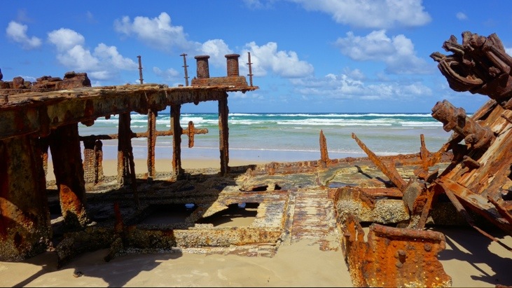
In World War II it was used for target practicing by the Australian Airforce which explains its ruined condition.
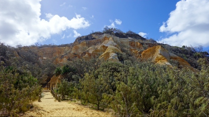
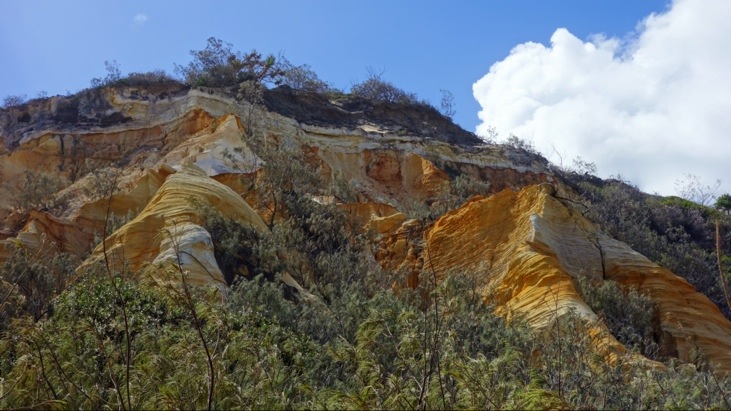
Not far from Maheno Shipwreck are the “Colored Sands”. Sometimes also called “The Pinnacles” these sandstone cliffs are painted in shades of yellow, brown and red. The colors are caused by leaching of oxides that coat each grain of sand, causing the band of colors:
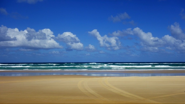
Interestingly the road along the beach is classified as a highway. This means the police will run speed checks and breath tests for drivers every once in a while. So following the 80 km/h speed limit on the main beach and the 35 km/h on soft sand tracks is probably a good idea…
We continued along the coast:
Our next stop was Eli Creek, a freshwater creek along the main beach. Wading down the slow current creek was perfect for cooling off on a hot day like this.
Getting close to the creek’s outlet one can see the beach. Here’s were the creek pours into the ocean:

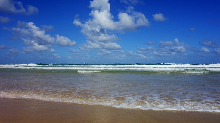
We still had enough time to enjoy the beach and the ocean before continuing on, but also here it was not advisable to swim in the water. Besides dangerous surf conditions there are not only up to 4 m large saltwater crocodiles but there is also a shark breeding ground near by (Indian Heads) and consequently many hungry yaps…
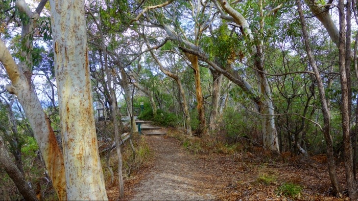
On one of the last stops of the day we headed along a narrow track leading up one of the vast sand dunes:
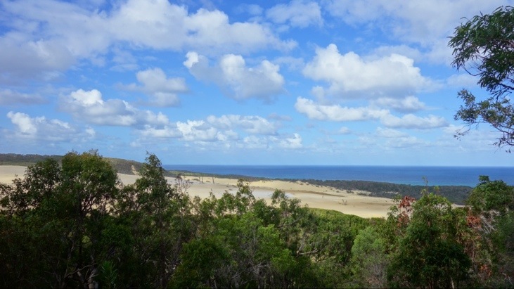
From the top we had a good view over Stonetool Sand Blow. This is an active blow area which is currently uncovering an ancient forest while it is blowing across the island. It owes its name to the Aboriginal stone tools which were found there.
On Fraser Island there are several dunes progressing across the island and often burying plants and forests. The rate of movement of the dunes depends on factors such as wind strength, the amount of moisture in the sand and plant colonization. The dunes gradually stop moving when they reach areas protected from the winds.
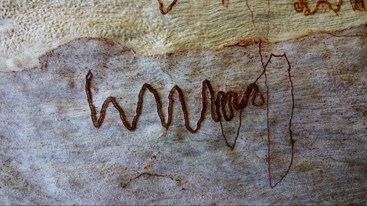
On many of the trees we saw these little wiggles imprinted on the bark. The wiggle is due to a little worm that wounds the tree while wiggling along the bark. The tree then bleeds its sap to heal the wound. This is what the worm is out for. After some distance it will turn around and return along its original path, sucking up the trees delicious sap, leaving a tree tattoo as evidence of its meal:
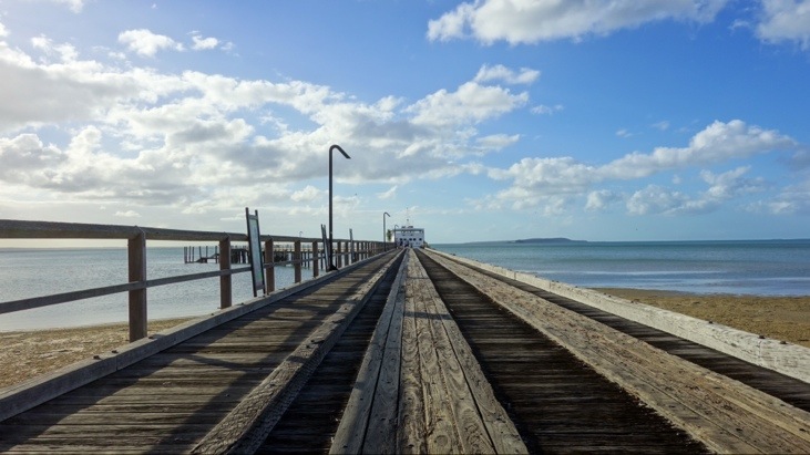
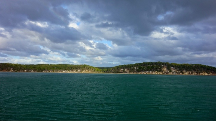
As the end of our visit had almost come we headed to the ferry landing point:
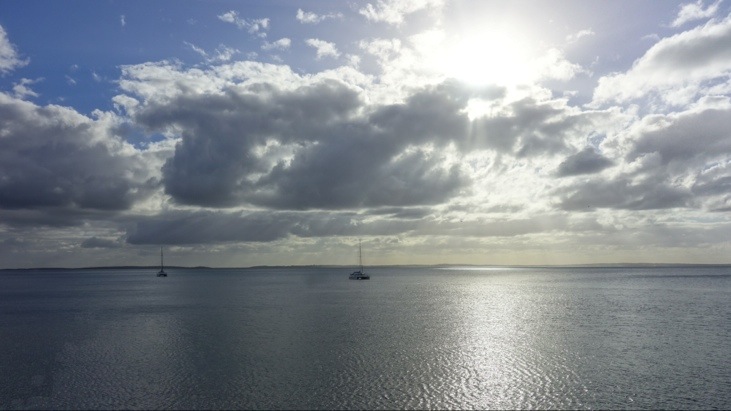
And boarded the ferry back to Hervey Bay:
On our outing we only traveled a fraction of the entire Seventy-Five Mile Beach on which even airplanes can land and take off. We tracked our Fraser Island tour with our GPS tracker and you can see an interactive Google map of our route here:
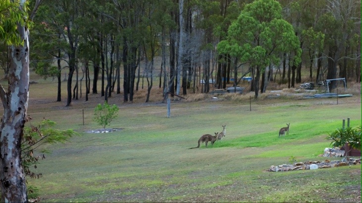
After arriving back at the port of Hervey Bay we were picked up and headed back home. But that day had one more surprise in petto for us: From a distance we got to see our very first Australian Kangaroos 🙂
Both of us enjoyed our visit of Fraser Island. For over 5’500 years this island had been the home to the Butchulla people. They named it “K’gari” which means paradise. Even after this short visit it is easy to see why.
This entry was posted in Australia, WorldMapComments
Leave a Reply
You must be logged in to post a comment.
Another geography lesson and still more to come.
Continue to smile as you discover new places.
Elisabeth and Ansgar will come to Cloudstone this afternoon, have dinner with us and spend the night before
heading to Yosemite tomorrow.
They will be back on May 6 to attend “Uncle” Peter’s birthday party. Wish you two were going to be here to celebrate with all of us (223 people have said YES to the invite).
Looking forward to seeing you in August and another wonderful celebration!
Cheers,
The Wolkens