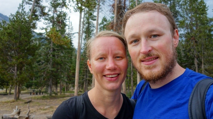
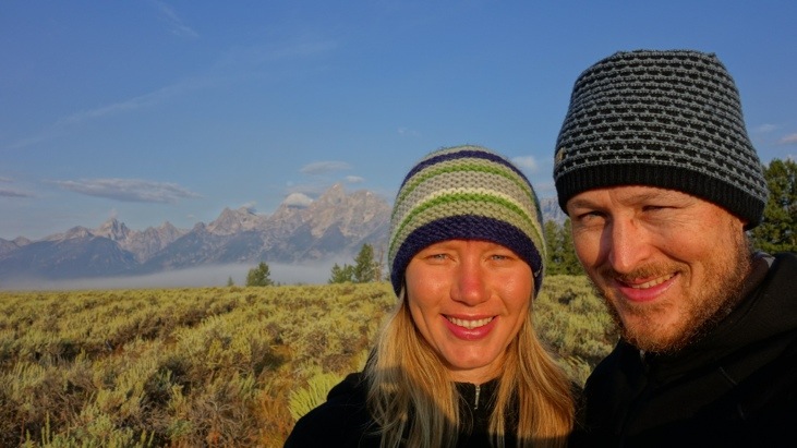
21.08.2013Hiking in Teton National Park
Grand Teton National Park is located just south of Yellowstone and you pass right through it when leaving Yellowstone by the south entrance. The Grand Teton is the highest mountain (4197m) and the national park is a classic destination for mountaineering. Not less impressive are the neighbouring peaks of the 40-mile-long Teton Range.
With “only” 9 million years of age the Teton Range is fairly young, especially compared to the Rockies (over 70 million years) or the European Alps (around 300 million years).
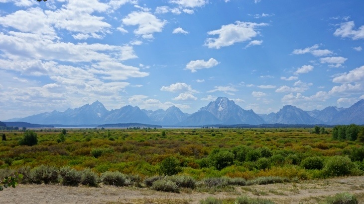
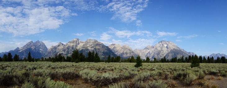
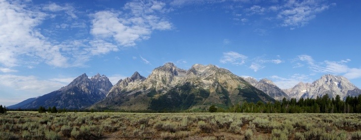
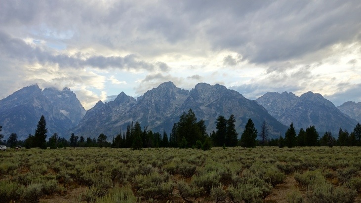
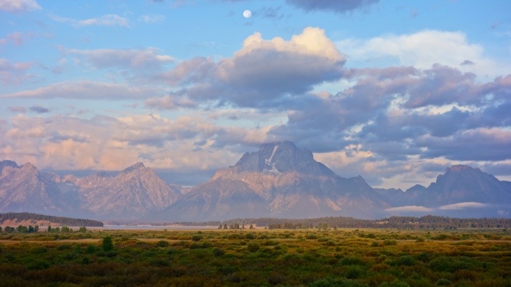
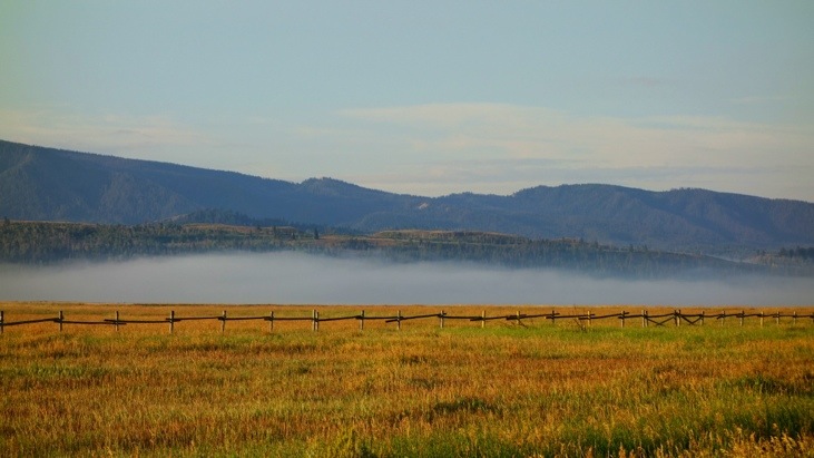
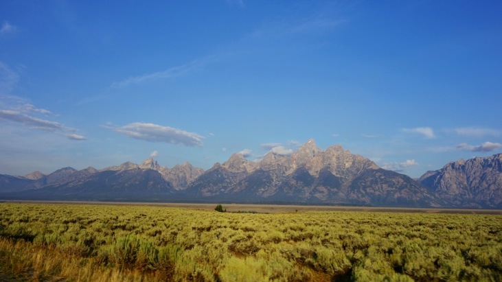
After entering the park we followed the scenic Teton Park Road to get an impression of the majestic mountains that quite suddenly rise up along the valley:
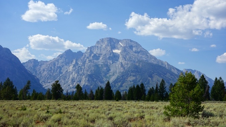
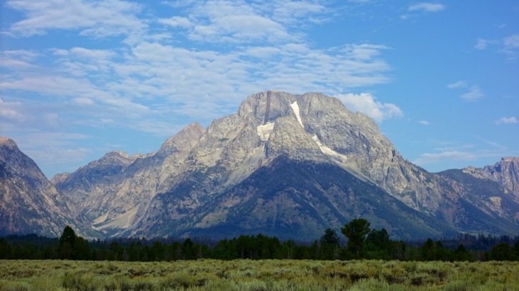
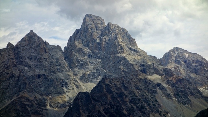
As we approached the mountain range we got close looks at the most prominent peaks. Here for example Mt. Moran (3842m):
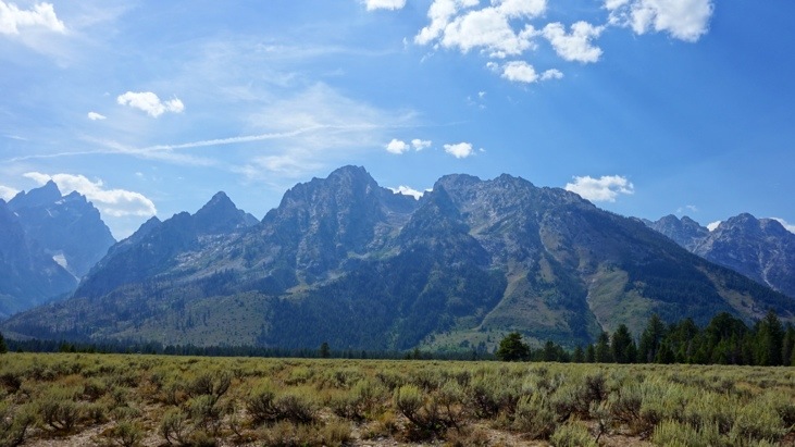
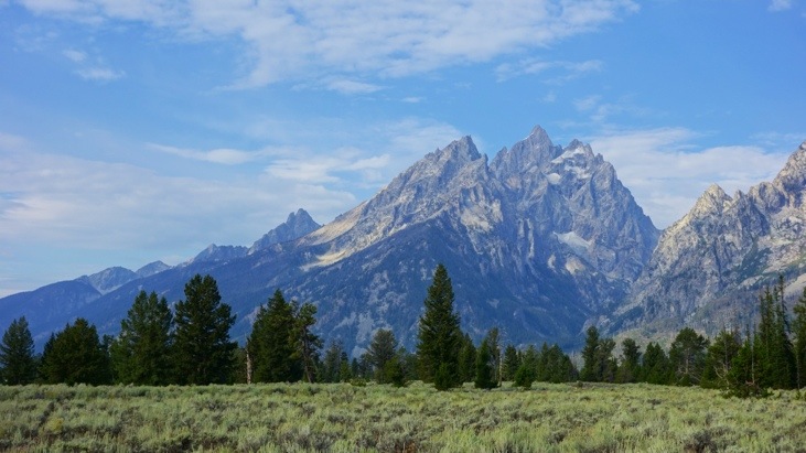
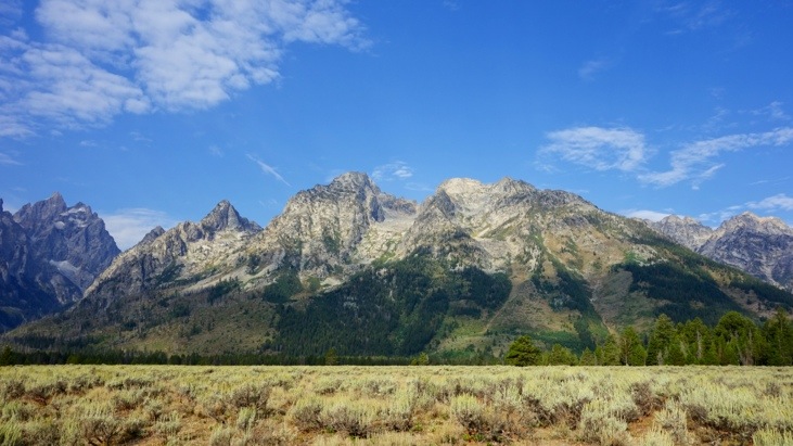
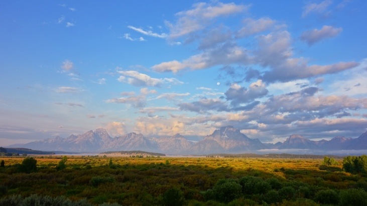
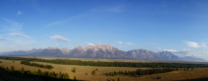
Here a view of the central Teton peaks neighbouring Mt. Moran:
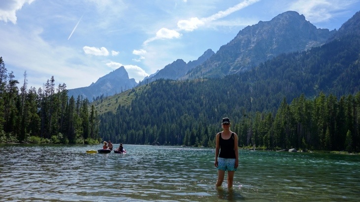
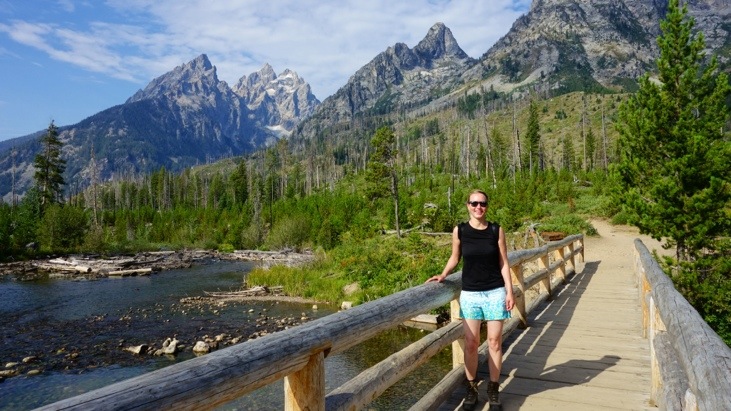
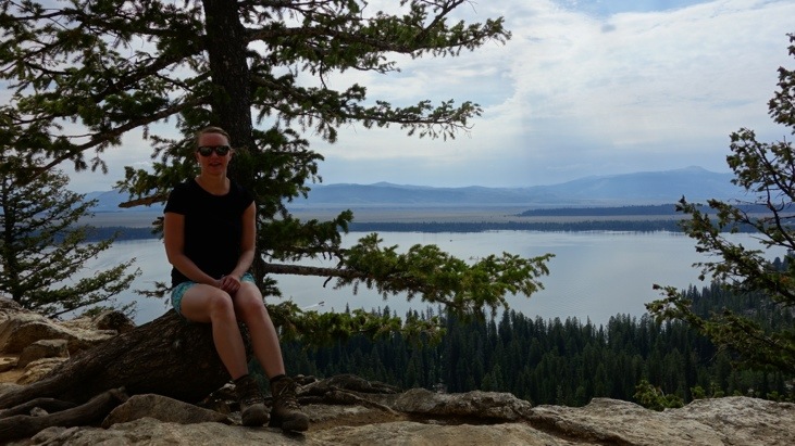
Tini cooling off in String Lake, a popular picnic area 🙂
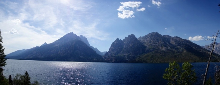
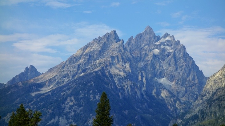
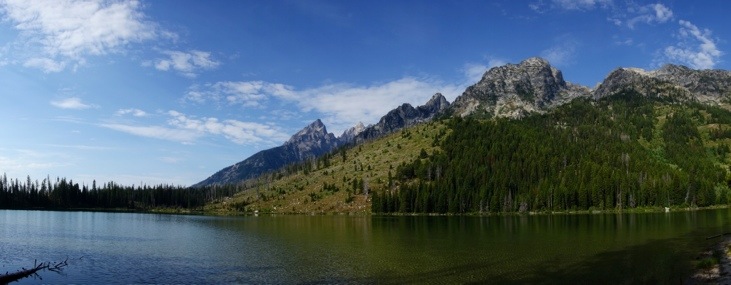
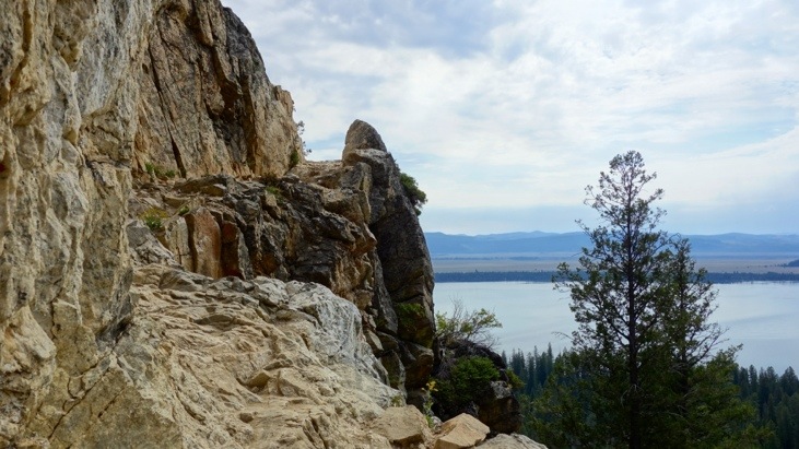
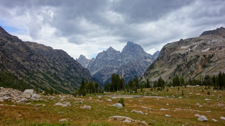
View over Jenny Lake with Mt. Teton and the Cathedral Group in the background:
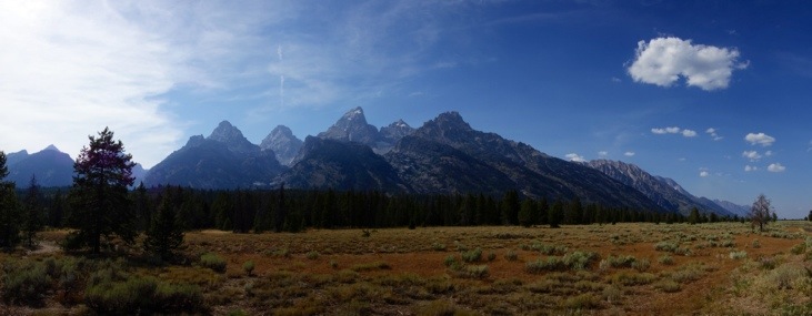
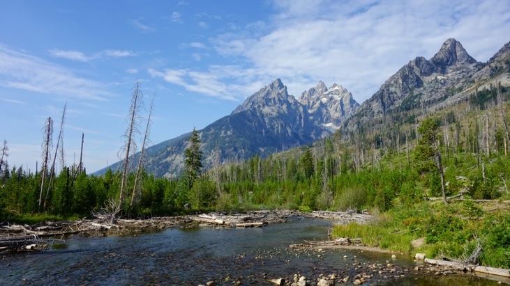
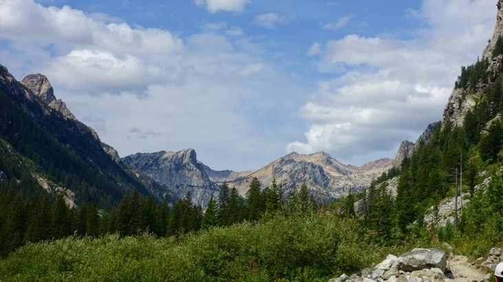
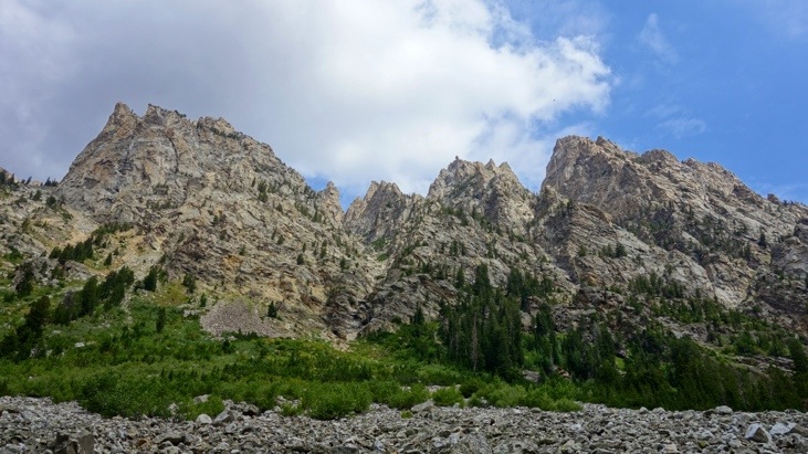
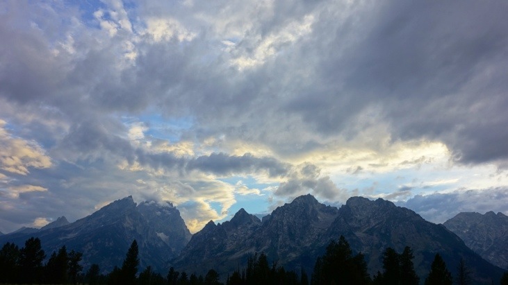
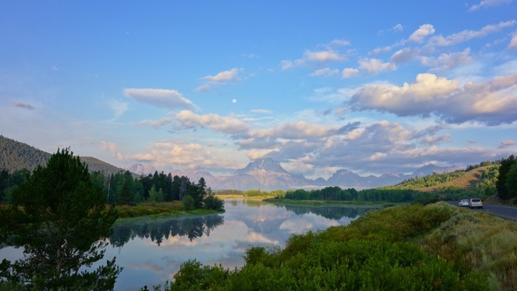
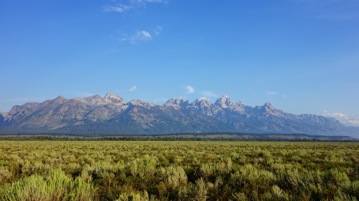
View along the Teton Range before we headed back north:
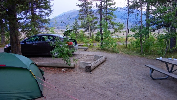
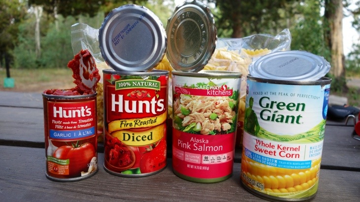
Back at Lizard Creek, our campsite, we prepared a delicate pasta dinner with the following sauce ingredients:
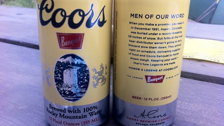
Fittingly the pasta was accompanied with beers brewed with 100% Rocky Mountain water:
After stuffing our bellies we browsed through the pictures we had taken that day. We felt the urge to not only experience the mountains from a distance, but to hike right into them. A day hike supposedly not too long was quickly chosen from our guide book. Expecting a 6-7 hour hike we started out the next day with a visit to the Colter Bay Village were we first had breakfast.
While driving to String Lake, the trailhead of our hike, we again passed by Mt. Moran,
and Mt. Teton with Mt. Owen to its right.
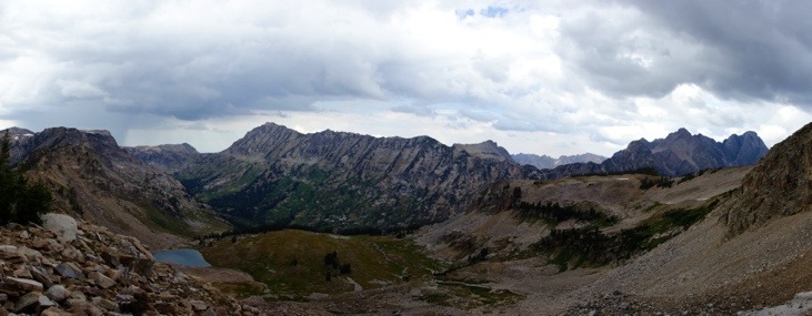
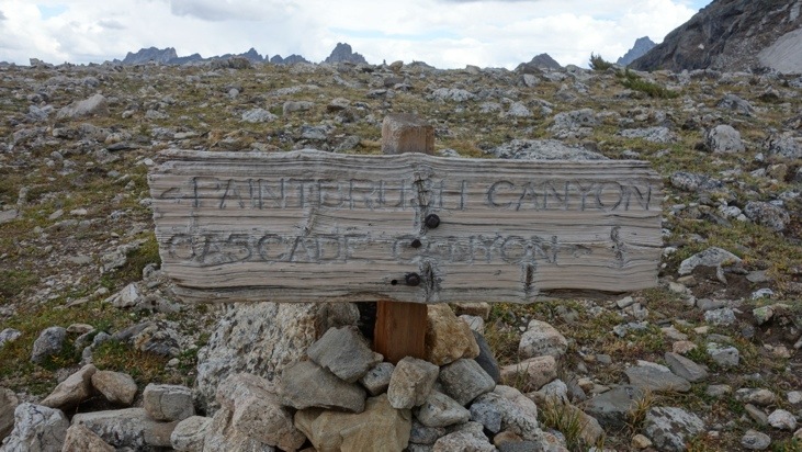
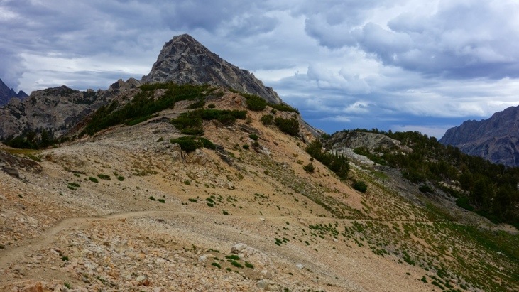
In between Mt. Teton and Mt. Moran the mountain massive appears, consisting of the three peaks: The Jaw, Mt. Saint John and Rockchuck Peak (from left to right). Our trail started on the left of The Jaw into Cascade Canyon and after surrounding the three peaks comes out on the right side of the Rockchuck Peak through Paintbrush Canyon.
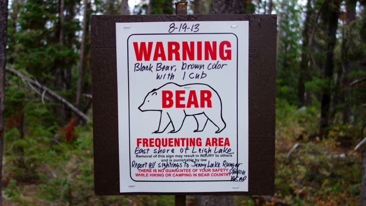
As we prepared to start our hike at about 10 am, a park ranger informed us, that a bear sow with her cub had been spotted in the area several times in the last few days and had even started to approach people for food. Loud yelling and making noise should however be sufficient to keep her away while hiking.
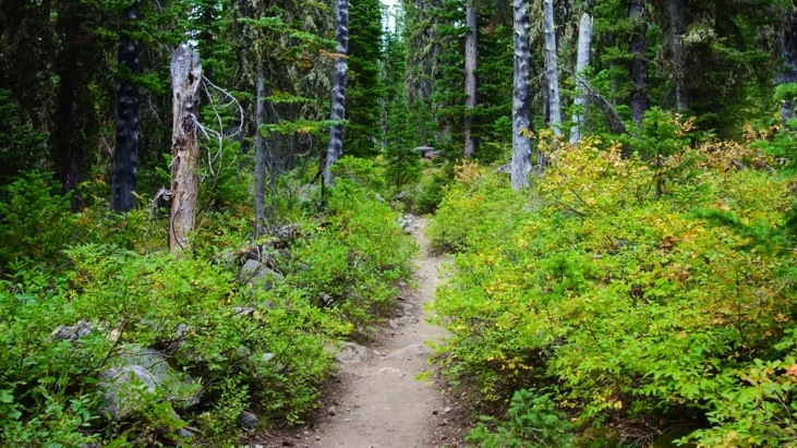
With that warning in mind we started hiking around String Lake and passed Jenny Lake.
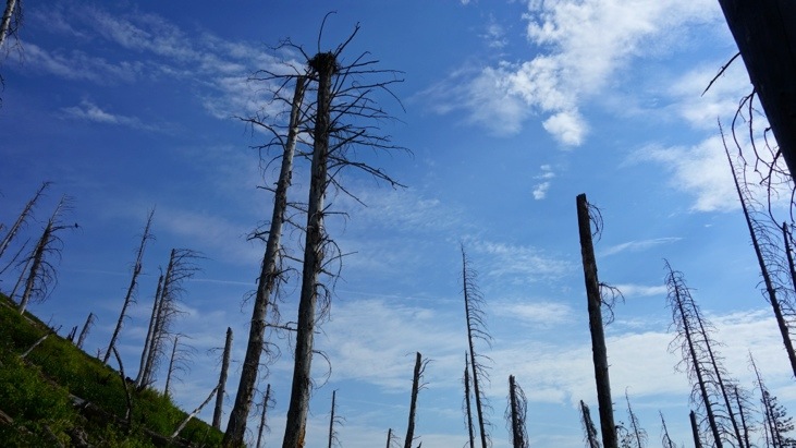
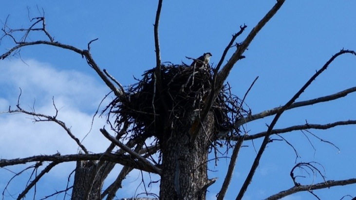
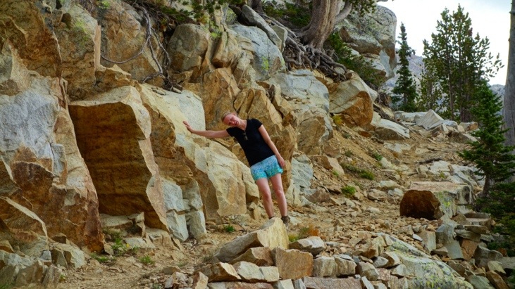
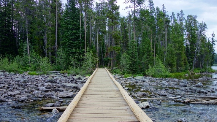
On the banks of Jenny Lake we learned that even burnt down trees can still serve a useful purpose:
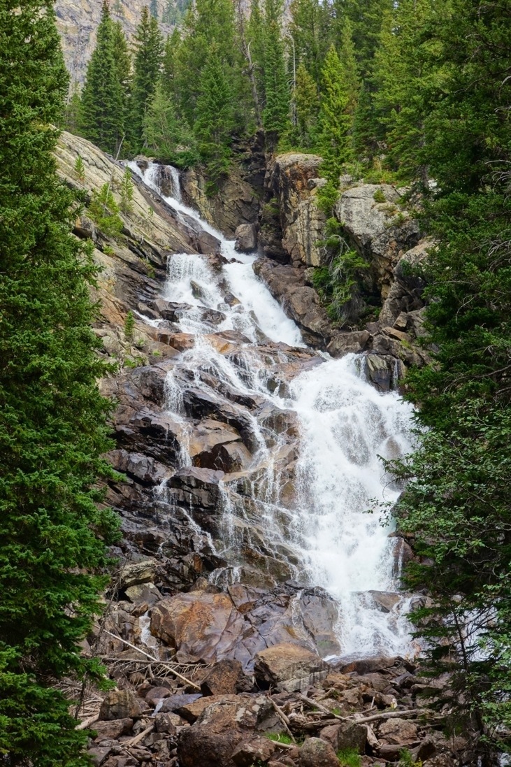
Our first short break was at the Hidden Falls:
And after a narrow and winding path…
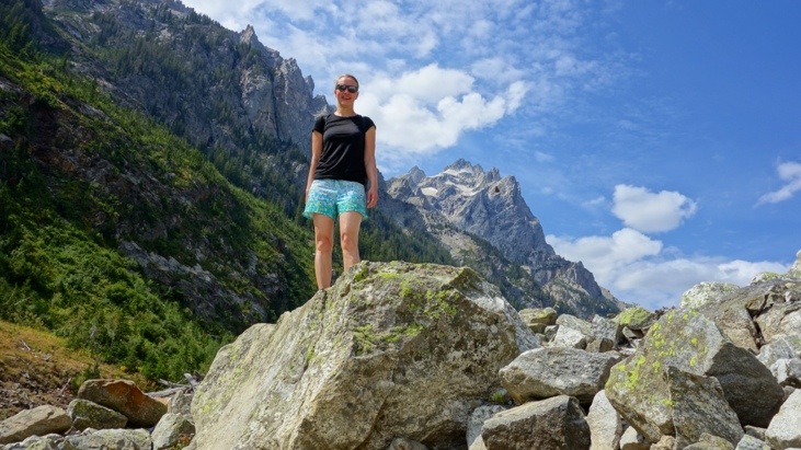
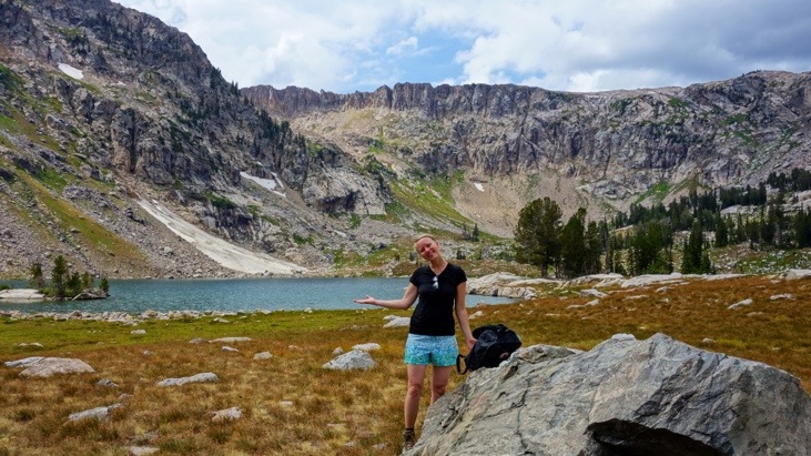
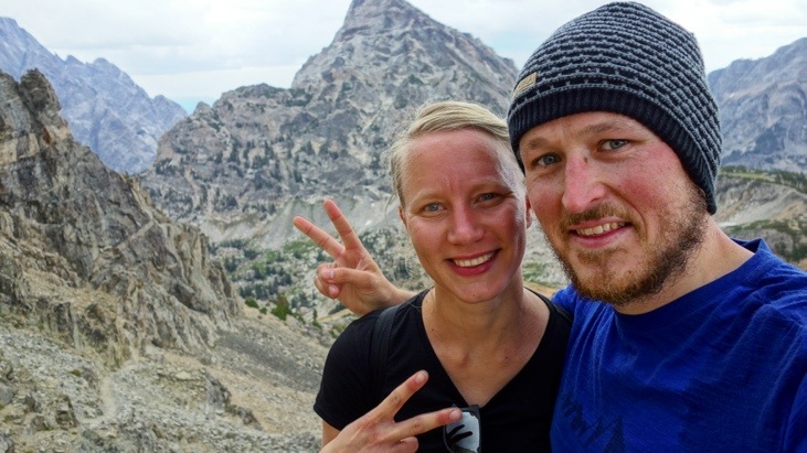
we reached Inspiration Point (2195m). Time for pictures!
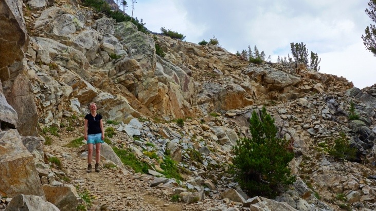
We continued along the Cascade Canyon and found many more places predestined for posing in front of a beautiful landscape 🙂
View into the canyon:
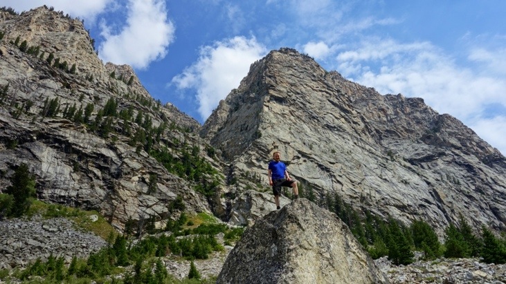
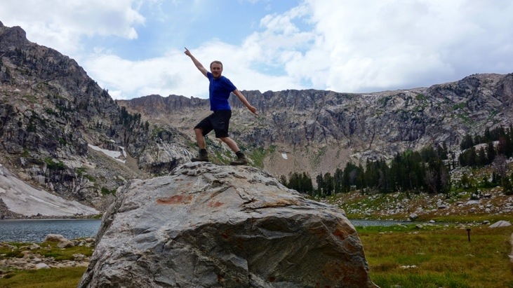
And some more posing in front of an impressive background. Interestingly many of the other travellers watched us climb the rocks for the pictures and as we continued on, they were queuing to take the same picture 🙂
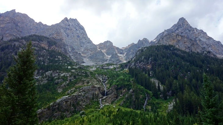
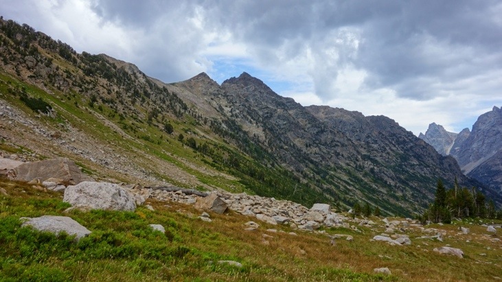
More views from along the canyon:
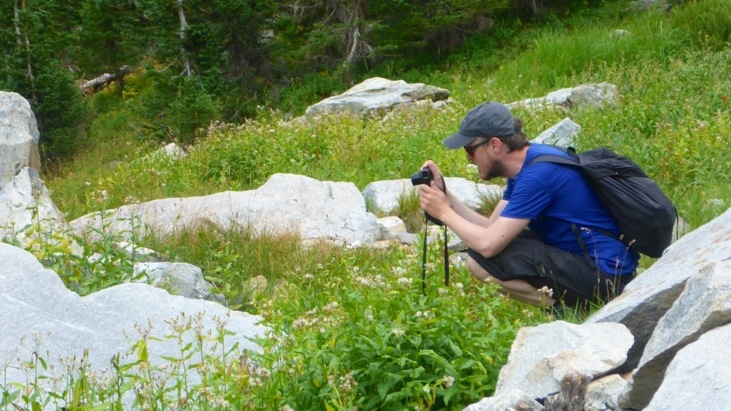
For some time we had heard whistling from all sides of the path, however without seeing the whistlers. During a short stop we finally spotted the culprits which we identified as pikas. They were whizzing around, cutting down tall grass and dragging it back to their nest. After hiding away and waiting some time, we managed to get some close-up shots of this action:
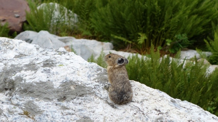
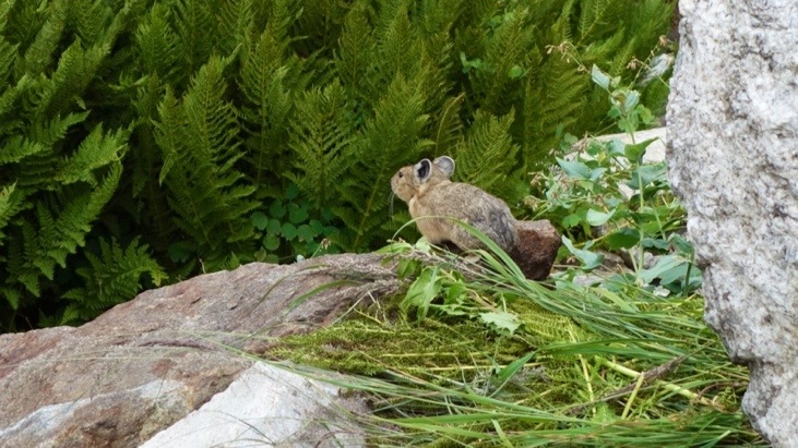
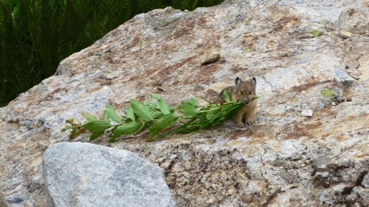
Watching those little fellows was just amazing. It was so much fun to see them take off into the brushes, then see a tall flower first shaking, then falling, and several seconds later the little pika appearing with his prey on his way back to the nest.
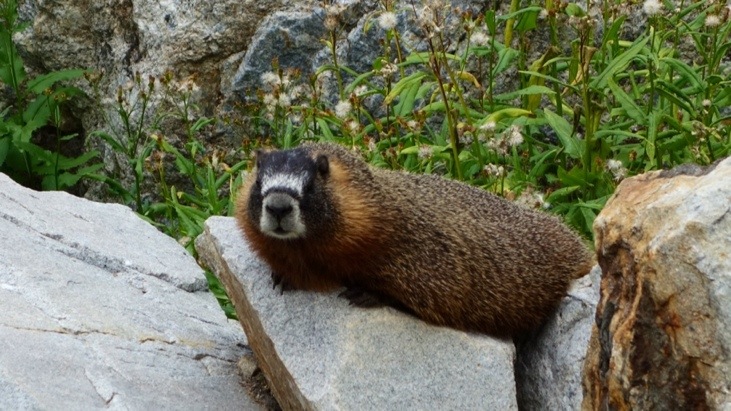
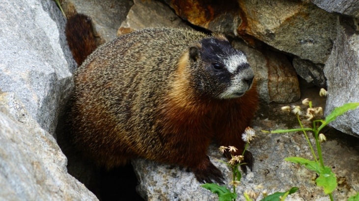
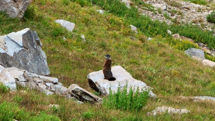
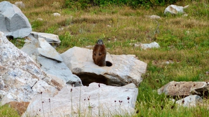
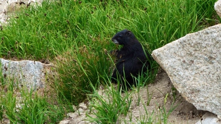
Still fascinated by our observations we could not believe our eyes as just shortly after we saw a big fat marmot also posing on a stone in the sun:
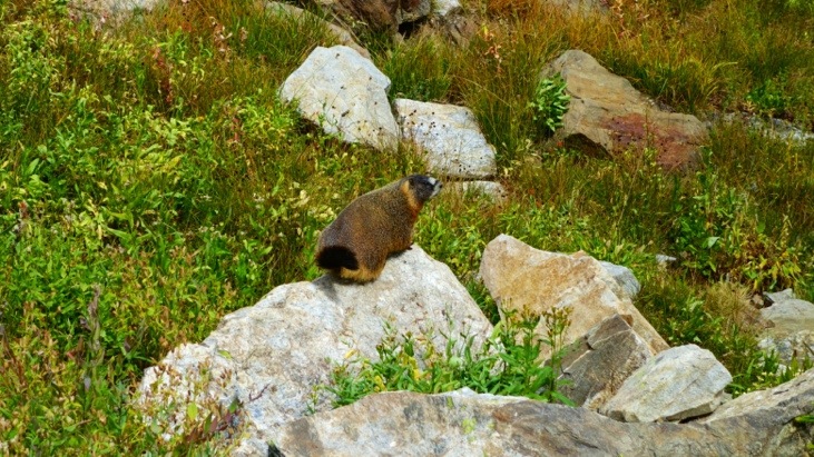
After a short while he took off towards his burrow, where Andy managed to sneak up on him and get these very close-up shots:
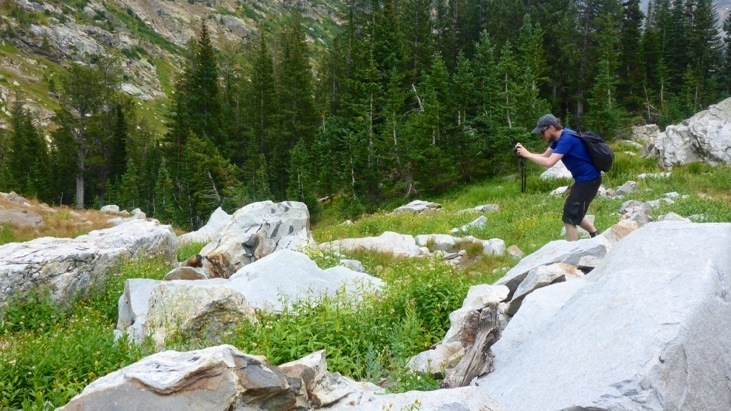
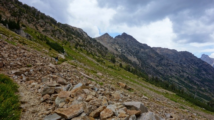
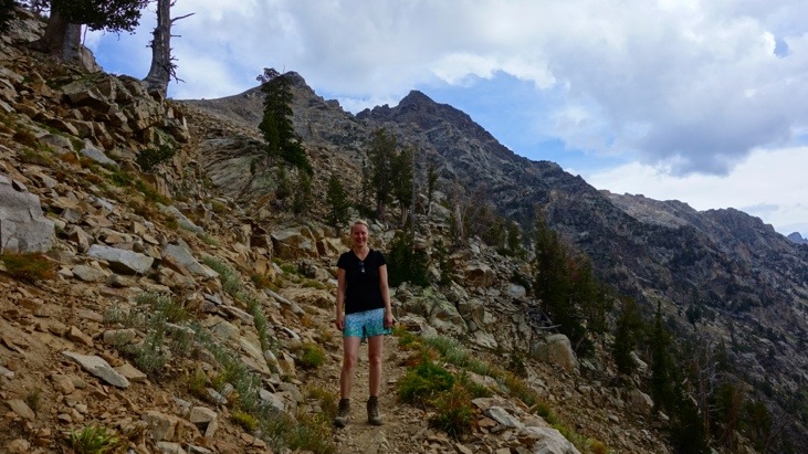
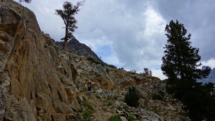
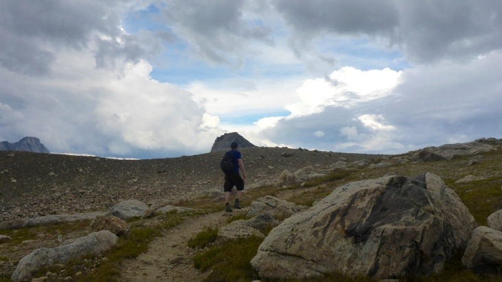
Heading up towards Lake Solitude the trail got rockier. Here Tini was once again waiting for Andy who couldn’t resist taking pictures of nearly everything (stones, flowers, plants, animals, …)
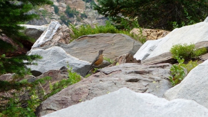
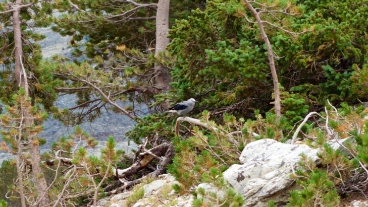
Some more feathered wildlife:
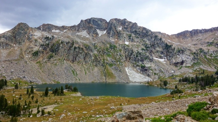
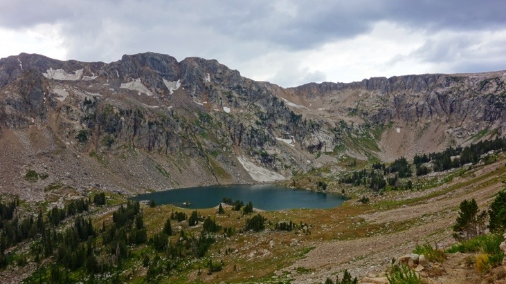
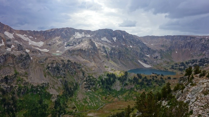
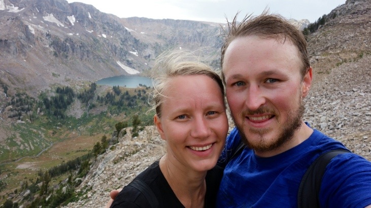
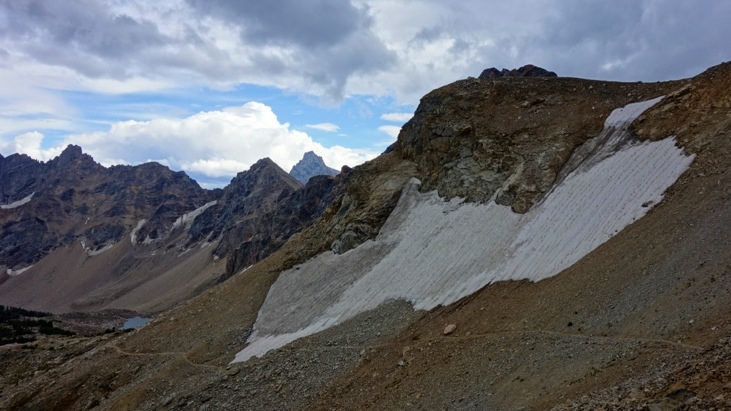
And finally we present you: Lake Solitude (2754m).
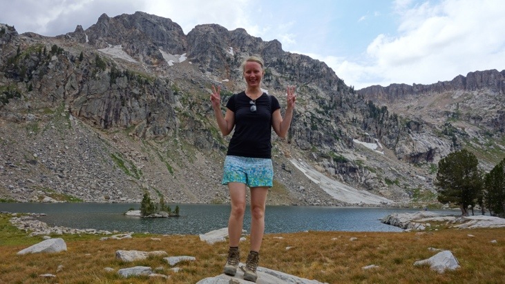
And off course, more joyful posing:
After our brake in which we had some sandwiches and fruits we started getting a bit worried about the quickly changing weather conditions and it was here that we first realized that the hike around the mountain peaks was not the 5-7 hour hike we initially intended to hike.
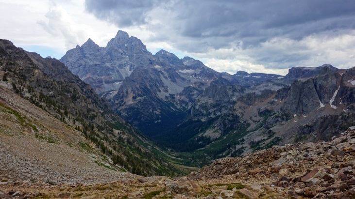
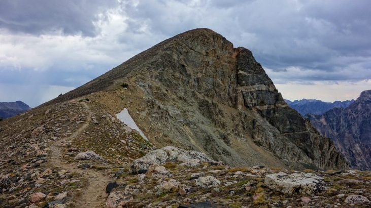
Since turning around and hiking the same way back is rarely an enjoyable option, we decided to continue the hike anyway and headed up Paintbrush Divide (3245m and first peak from the left):
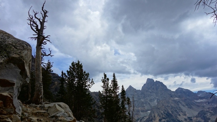
View of Mt. Teton disappearing in the dark clouds:
Another marmot checking out the weather conditions and presenting himself in the “position of attention”:
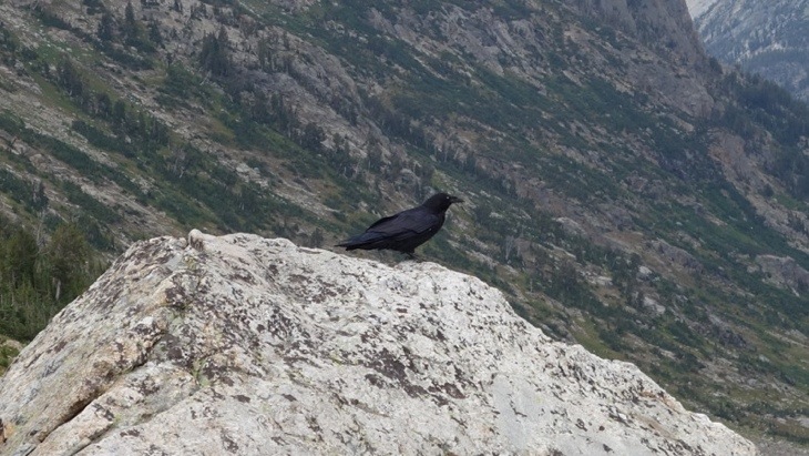
For a change, an ordinary crow…
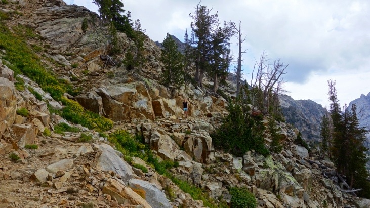
And on and on the steep trail kept going. Tini shooting ahead while Andy was still taking pictures of everything…
For example the beautiful view of Lake Solitude:
Or this interesting beetle:
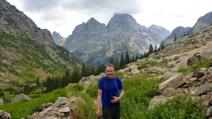
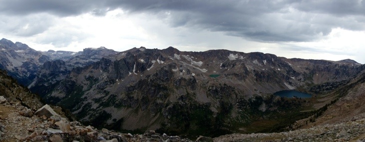
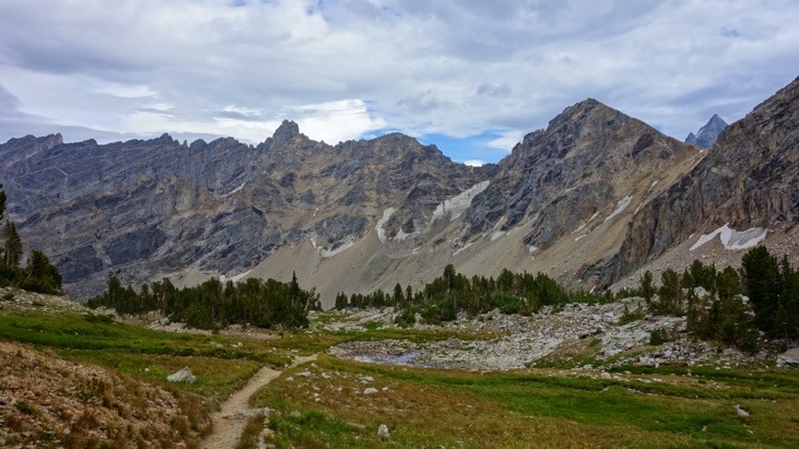
View back of Cascade Canyon with the cathedral group in the background:
And a closeup of Mt. Teton:
And another view back of Lake Solitude:
More impressions from the way up:
Here a mixture of resting and waiting for Andy 😉
A short brake before we …
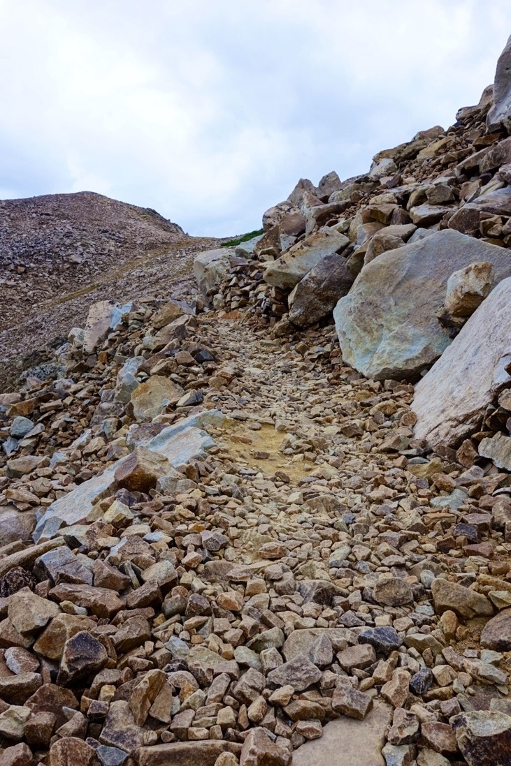
saw that there was more rocky trail to overcome:
Here another look back before we almost reached the pass:
Finally the view of the other side of the pass,
and one last look back:
From here on there were no more climbs, the rest was “just” downhill.
The trail continued along the windy ridge:
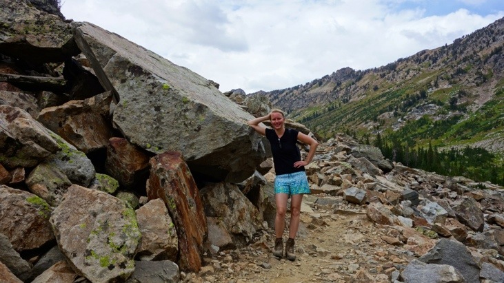
Where we portrayed our exhausted and sweaty but happy faces, before we descended into Paintbrush Canyon:
The trail crossed fields of debruis,
fields of snow,
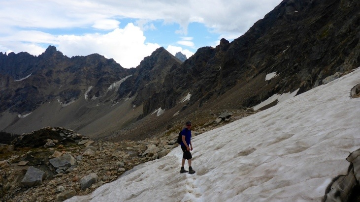
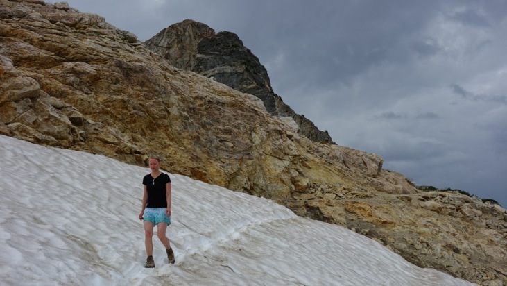
and again fields of debruis.
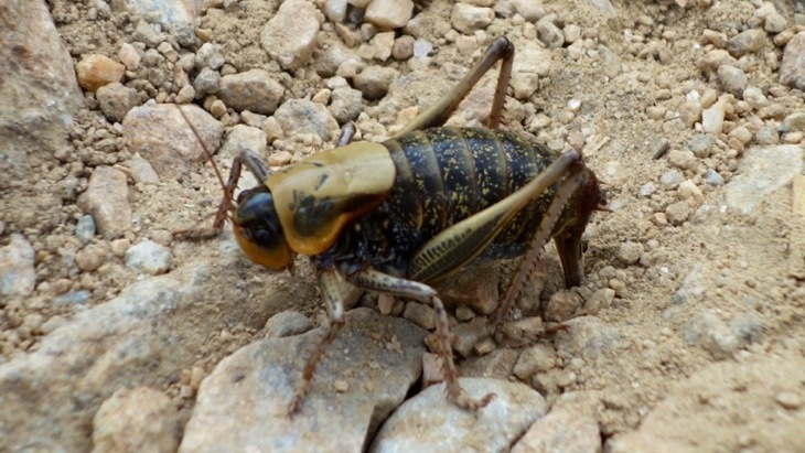
And once we reached more hospitable regions, we started seeing more wildlife again. This little creature remains unidentified so far:
We reached the treeline:
And spotted more feathered wildlife:
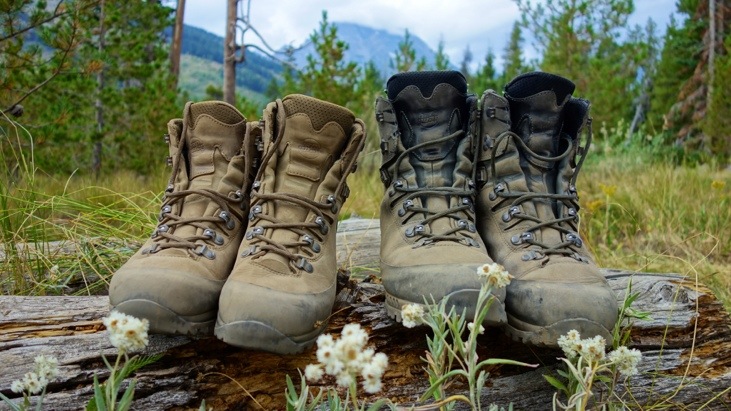
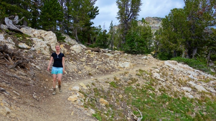
Those boots were definitely made for walking…
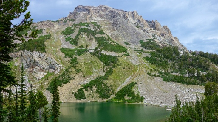
We reached Holly Lake (2868m):
And finally caught a glimpse of Leigh Lake down in the valley:
But there was more trail to hike and now that it got brushey again we kept yelling our “Hey Bear” outcries to let the bear know we are on our, or his way.

A short break for the tired legs:

Continuing through the woods we could feel we were almost there…
And after a seemingly never-ending trail, we finally reached String Lake:
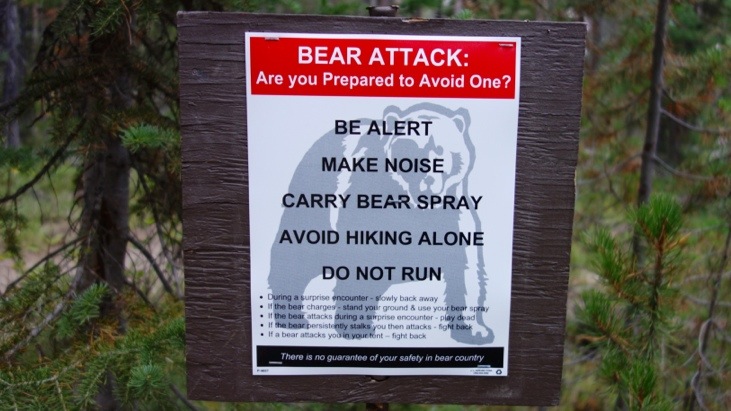
Here we saw posted Bear warnings:
And after around 9 hours of hiking the “Do Not Run” warning seemed very funny to us, as we wouldn’t have been able to run anyway.
Finally we arrived at the trailhead feeling that we had extensively experienced the Teton National Park. Later on we checked our little guidebook for the hike we had accomplished. It turned out to be a 2+ day hike, involving at least one night of camping. Milewise we estimated the trek to be around 20 miles. No surprise each of us drank almost three liters of water and we were entirely exhausted. Our happy but very tired faces:
Driving away we watched the clouds gather along the mountain peaks and felt very lucky that it didn’t rain on us during the hike. We headed straight to the shower-house with warm water in Colter Bay Village where we washed off the days sweat and exhaustion.
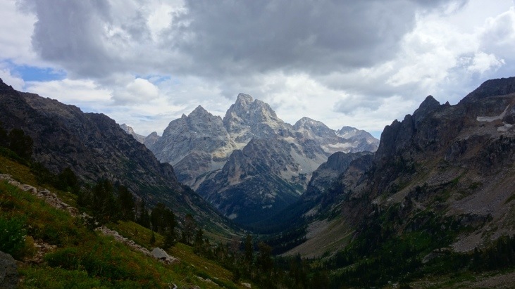
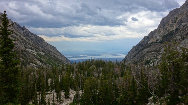
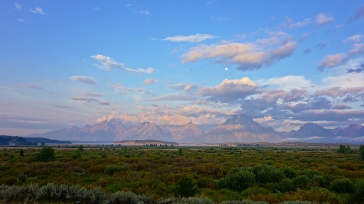
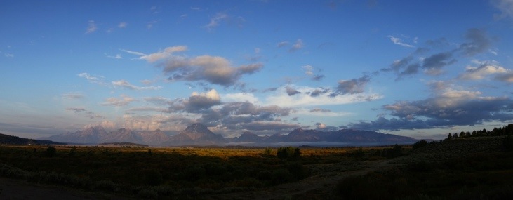
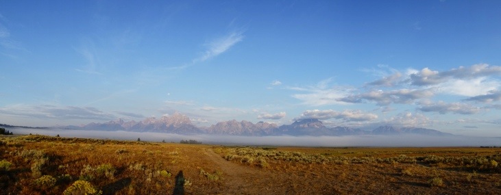
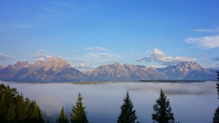
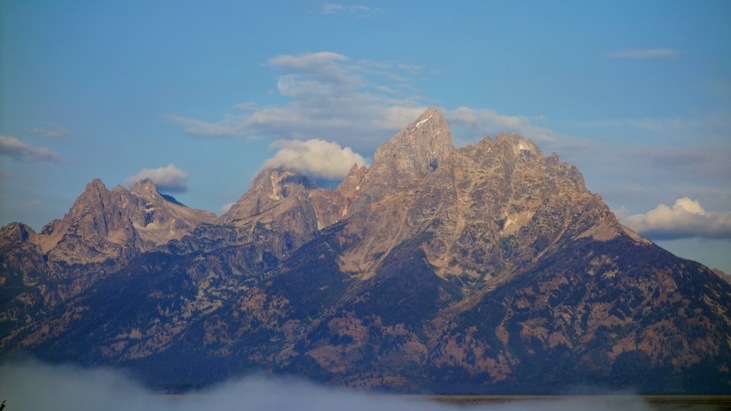
After a very sound sleep we left Teton National Park the next morning and again enjoyed some beautiful sceneries, this time from the distance:
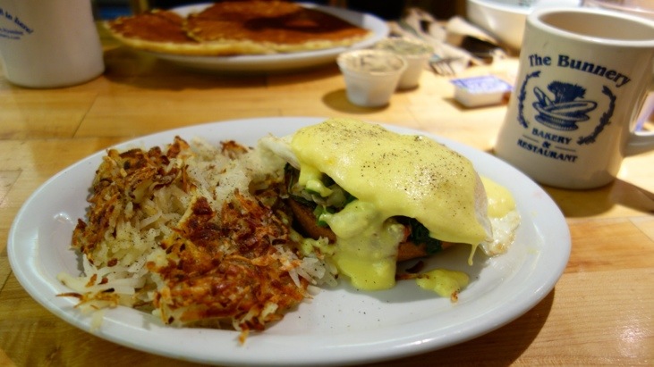
In Jackson Hole we visited the famous Bunnery for breakfast:

While Andy had some delicious Eggs Benedict, Tini enjoyed some sweet pancakes and a crunchy granola parfait. Unfortunately she ate it so fast that there was no time for a picture 🙂
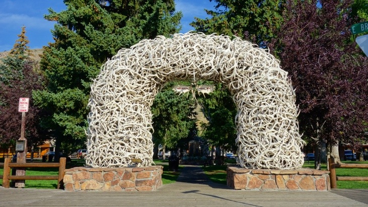
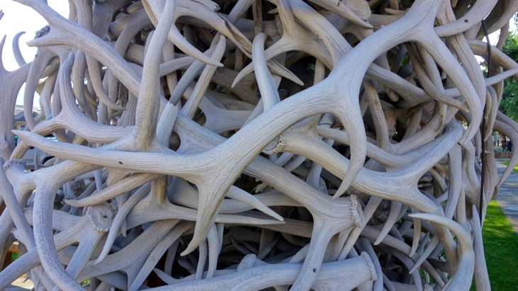
The last sight on our way west were the antler arches that decorate the four corners of Jackson Hole’s town square. Each of the four arches consists of around 2000 Elk antlers. The elk naturally shed their antlers each year, so no animals were harmed for this sight 🙂
Addon (23.09.2013):
The interactive Google-Map of our trek:
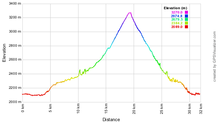
The elevation profile of the trek:
Comments
Leave a Reply
You must be logged in to post a comment.
Another great blog with wonderful photos of the scenery. We enjoy sharing the memories with you.
Aunt Judie and Uncle Peter