14.01.2014Routeburn Track Day-Hike
The Routeburn Track is one of New Zealand’s so called “Great Walks” and links Mt. Aspiring National Park near Queenstown to the Fiordland National Park. Within a distance of 32 kilometers the trek takes you through ice-carved valleys and below the majestic peaks of the southerns alps.
As we had read great reviews about this trek we started planning the hike and making the necessary arrangements. Unfortunately we found out that our planning was too spontaneous and all the huts and campsites along the trek were fully booked for several weeks. We also considered hiking it in a single day since we had done comparable hikes already, but unfortunately it is not a round trip. After hiking those 32 kilometers you end up at the Divide in the evening and have to organize a 300 km trip back to Queenstown following the road around the mountains you hiked through.
Since we did not want to entirely miss out on one of the most popular treks in NZ we decided to just hike half of it and return back. This way we would at least get to see half of the trek!
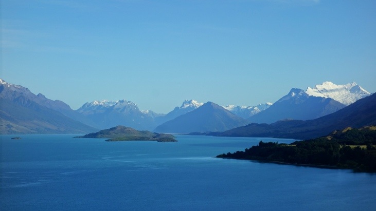
We started early in the morning from Queenstown and drove along the coastline of Lake Wakatipu:
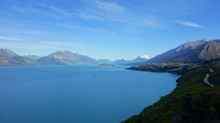
The rising peaks of the Southern Alps were already visible behind the lake:
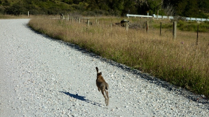
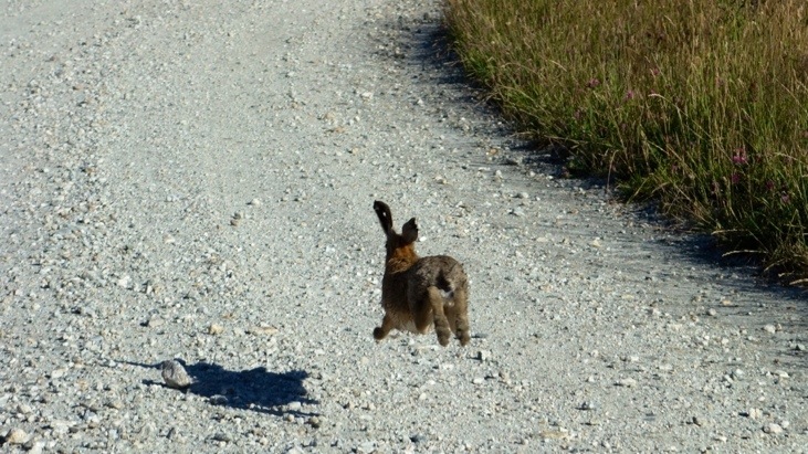
Shortly before we arrived at the starting point of the hike, the Routeburn Shelter, we suddenly encountered a rabbit that was running along the street. It seemed the rabbit enjoyed running on the gravel road since it had no intention to leave it and kept running in front of our car. Eventually we stopped the car to let him get away safely…
As usual during our hikes we GPS-tracked our day-hike. Here you can see an interactive Google map of our Routeburn hike (if you wait for it to load you can zoom in on all parts of the trek; be careful when using the mouse wheel while the mouse cursor is located on the map!):
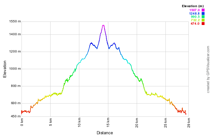
And here the corresponding elevation profile:
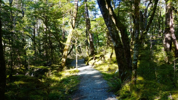
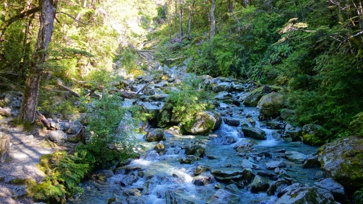
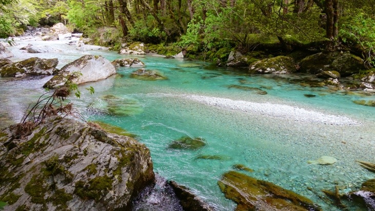
The trek started through woods and was gently winding along the crystal-clear Routeburn river:
After a short climb, passing by a waterfall and crossing a swing bridge, the trek leads to open grassed flats and from there to the Routeburn Flats Hut:
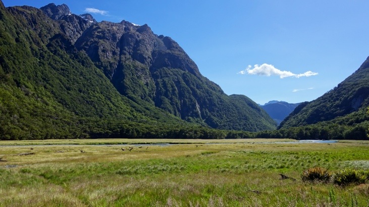
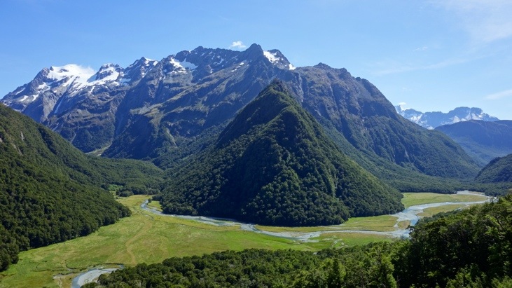
We didn’t stop at the hut but continued on steadily climbing through stunning beech forest, providing great views of the Humboldt Mountains and the flats below:
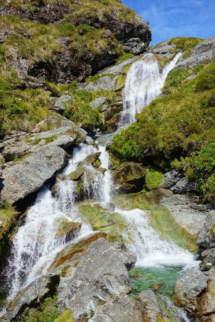
Further up we passed by the Routeburn Falls Hut which is situated on the edge of the bush line and close to the impressive Routeburn Falls:
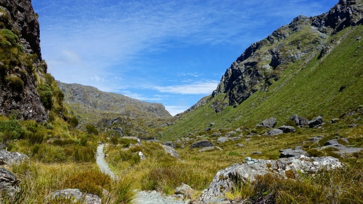
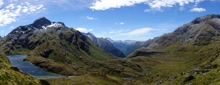
We continued to climb up into the valley and made a rest at a fairly windy point:

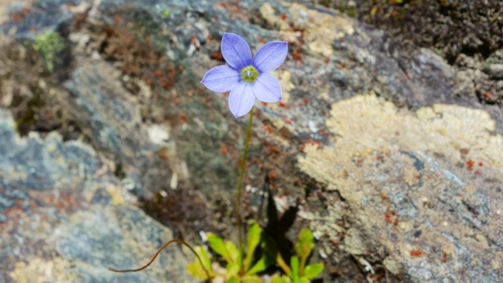
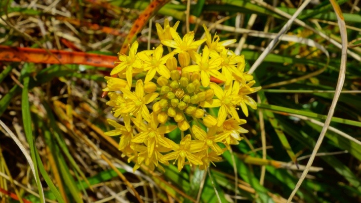
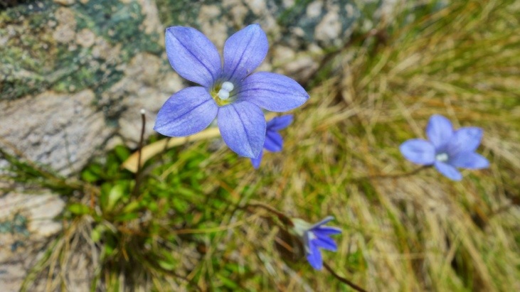
The path led us through wetlands and tussock-covered flats:
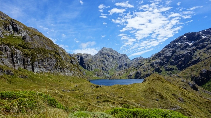
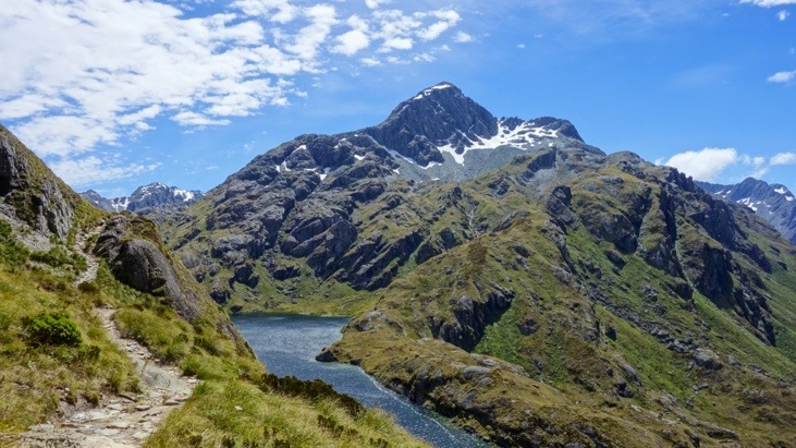
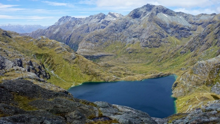
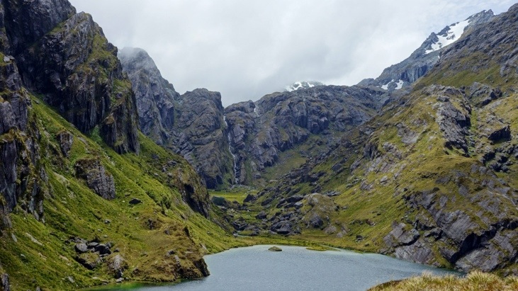
Eventually we reached scenic Lake Harris:
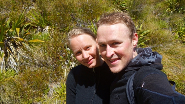
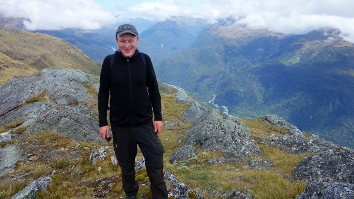
Tini decided for a break at the lake to enjoy the sun, while Andy kept on going to reach Harris Saddle (1’255m):
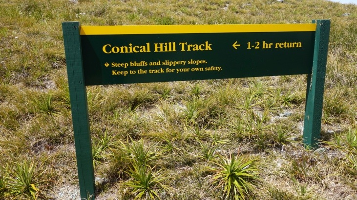
From Harris Saddle a small path branches off the main trek and leads up to Conical Hill.
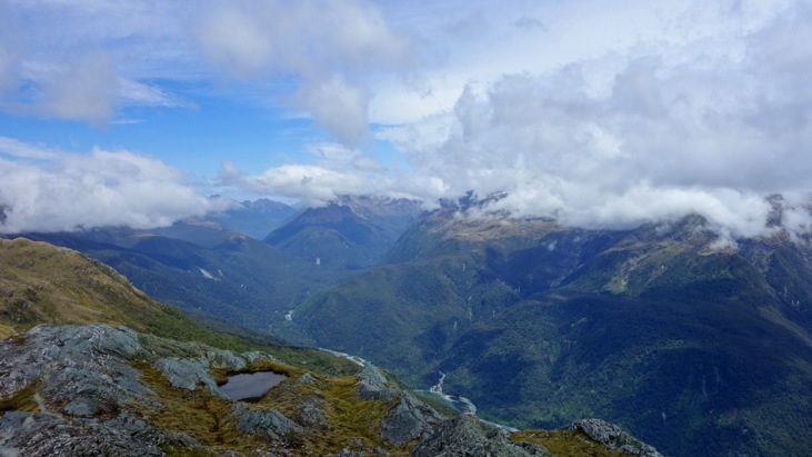
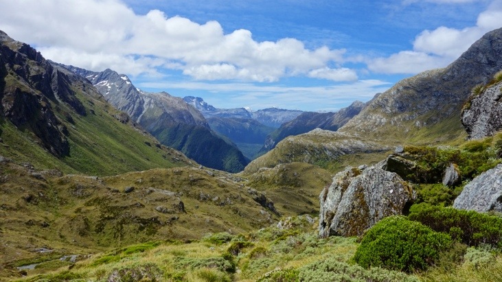
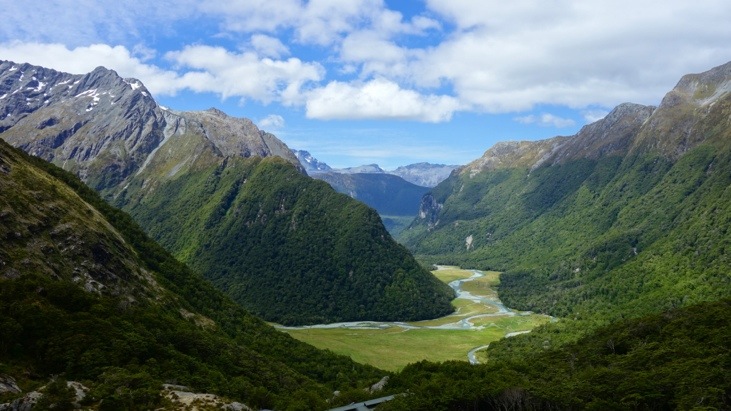
From Conical Hill one has a marvelous view of Hollyford Valley and down to Lake Harris, where Tini was sunbathing and watching the clouds pass by 🙂
On the other side one can supposedly see all the way to Milford Sound or even the Tasman Sea, but it was too cloudy to catch a glimpse of either today:
Descending down Conical Hill:
Back down at the lake Andy picked up Tini and we started our way back down:
When we passed the crystal clear Routeburn river again we knew we had almost made it:
Back at the car we drove to Queenstown where we arrived exhausted but happy in the evening. We really enjoyed our day trip along the Routeburn Track. Despite the opinions and advice of the travel agents we can confirm that the trek is manageable in a day, as we had finished all the ascending parts and more than half the trek in only about 4 hours. The problem of returning to the starting point however remains. Since we plan most of our activities last-minute we sometimes can’t do everything we would like to and have to find alternatives 🙂
This entry was posted in Australia, WorldMapComments
Leave a Reply
You must be logged in to post a comment.
Isn’t this little lake heart-shaped? What a beautiful scenery ..