15.01.2014Road-Trip North – From Queenstown to the Tasman Sea
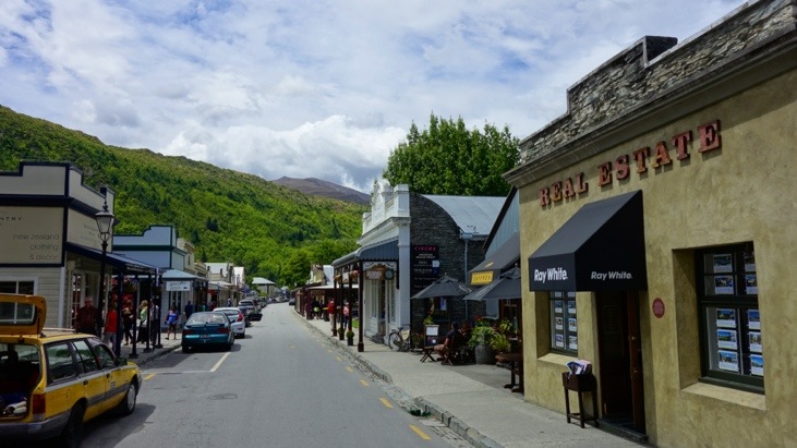
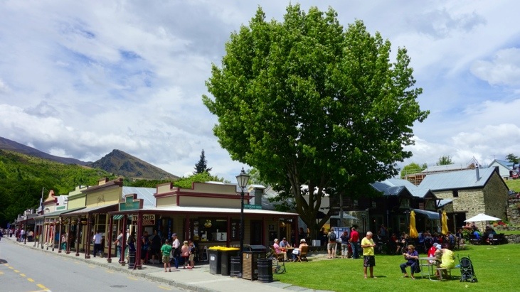
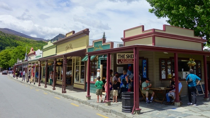
Eventually we left Queenstown and headed towards the west coast of the Southern Island. Our first stop was still close to Queenstown in the little village of Arrowtown:
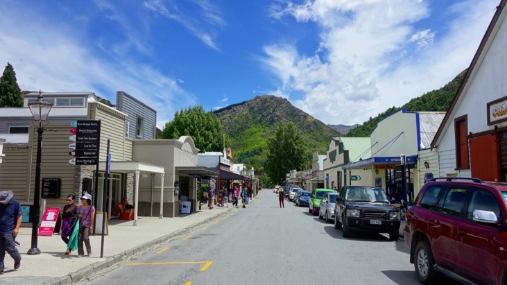
The town was founded in the 1860’s following the discovery of gold in Arrow River. Today the town retains more than 60 of its original buildings and is a popular tourist destination:
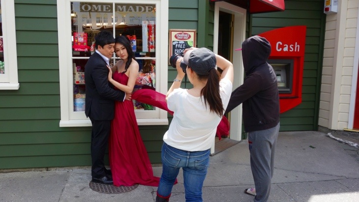
We did not manage to find out the meaning of this photo shooting in front of a “Homemade Fudge” store, but thought it exhilarating 🙂
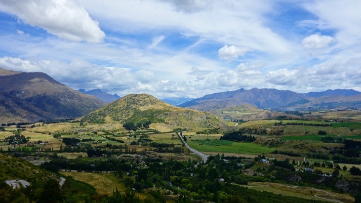
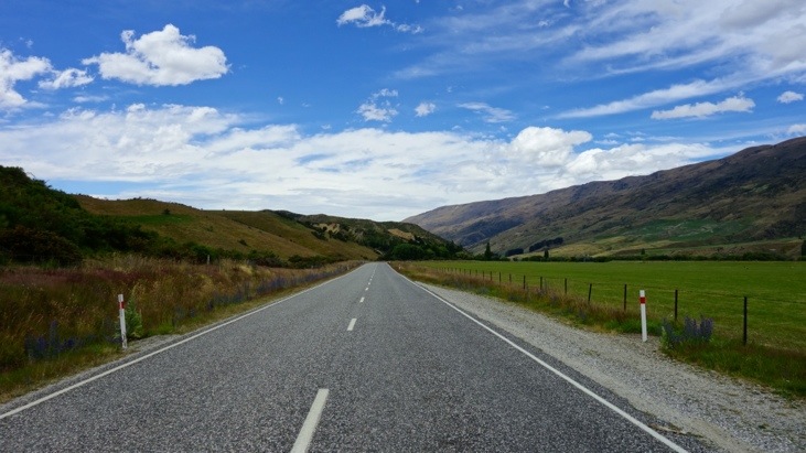
As we continued on we had a look back down a pass. Queenstown was already hidden behind the mountain ranges:
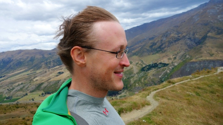
And it was extremely windy up here, as you can see in Andy’s hair:
We continued towards Wanaka:
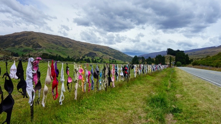
Somewhere along the road we made a strange discovery: Hundreds of bras were attached to a fence right next to the road. We didn’t know the meaning of this custom or how long they have already been hanging there. But it looked very funny and worthwhile a picture.
Later on, with a bit of research, we found out that the “Cardrona Bra Fence” has its own Wiki-page, with some background information.
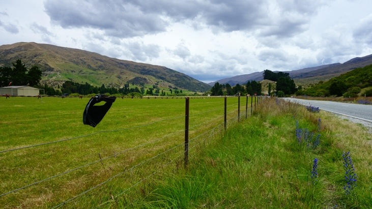
A bit down the road a guy seemed to adopt the bra-idea with a brief, but hasn’t found any imitators so far. Perhaps guys are more sensible…? 🙂
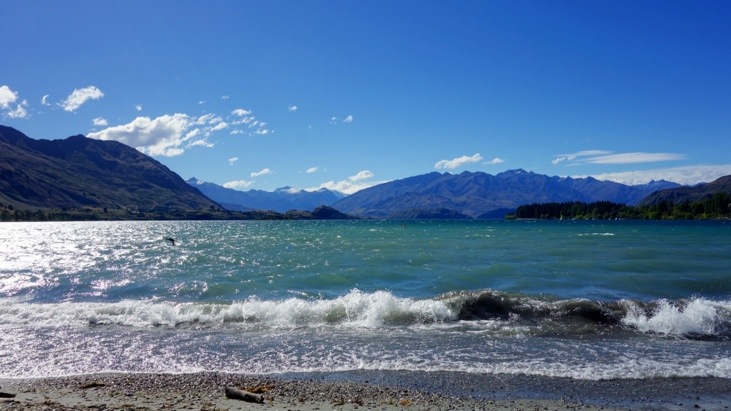
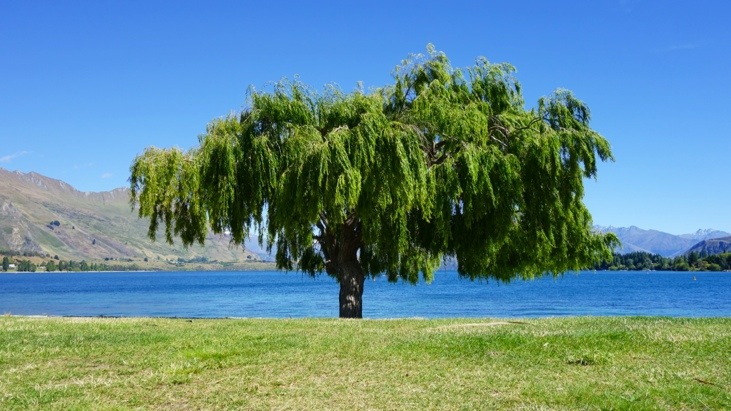
In the afternoon we arrived at Lake Wanaka. The town of Wanaka is located at the southern end of the lake:
We stayed at a nice hostel located directly at the lake with a nice lake-view from the dining room. We enjoyed a chilled ginger beer while cooking:

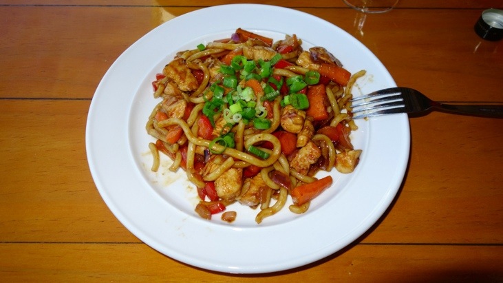
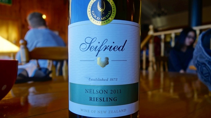
And after preparing, a delicious Udon noodle dish with a Nelson Riesling:
Next morning we left Wanaka and drove along the beautiful lakeside:
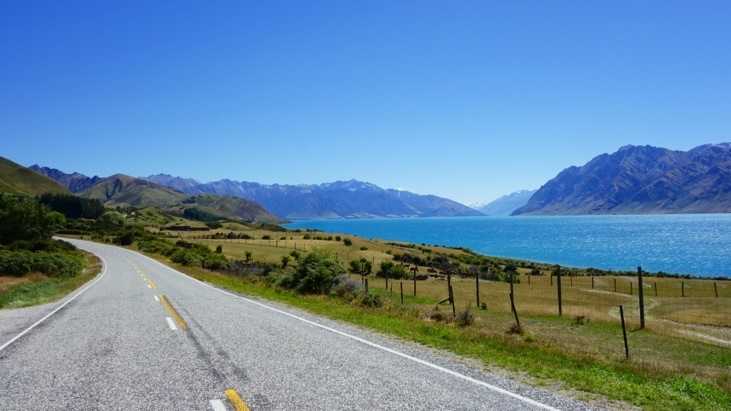
We stopped at lake Hawea lookout:
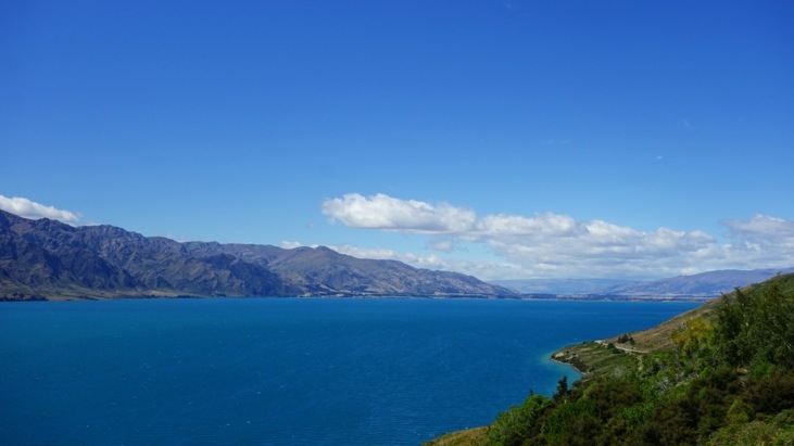
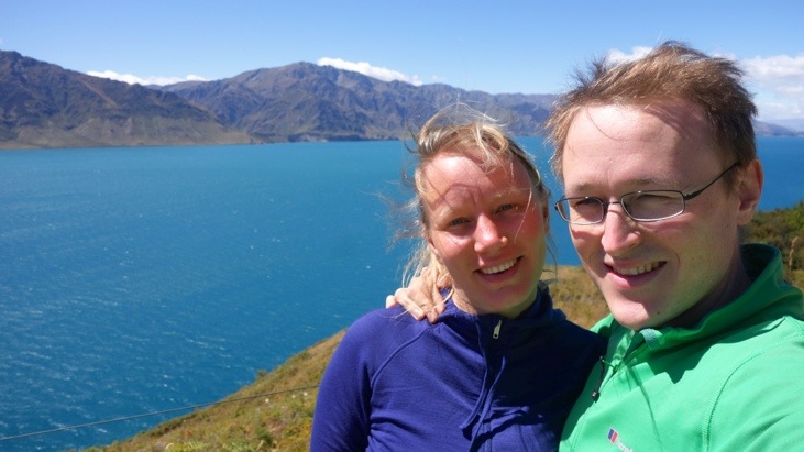
And a bit later the street led us back to Lake Wanaka, where we stopped at a lookout that offered a great view:

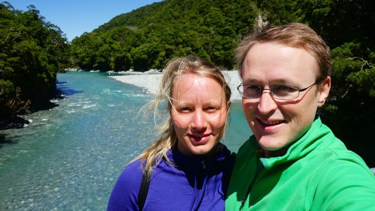
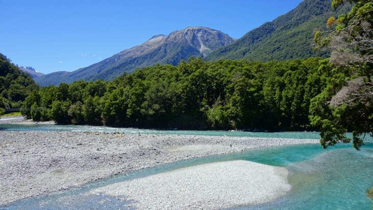
After some more driving we stopped for a short walk to the Blue Pools. The pools derive their name from the distinctive blue of the water. The color is a result of light refraction on the clear, snow-fed, ice-cold water:
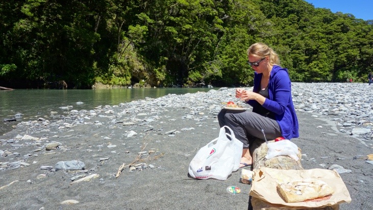
We continued along the Haast Highway and stopped near Fantail Falls for a picnic lunch at the river side:
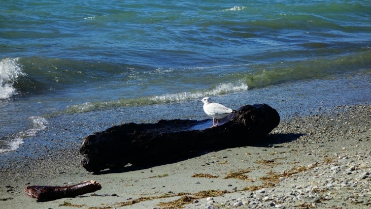
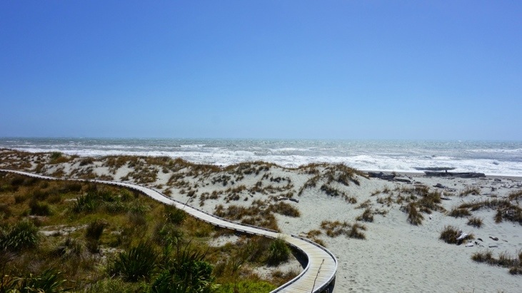
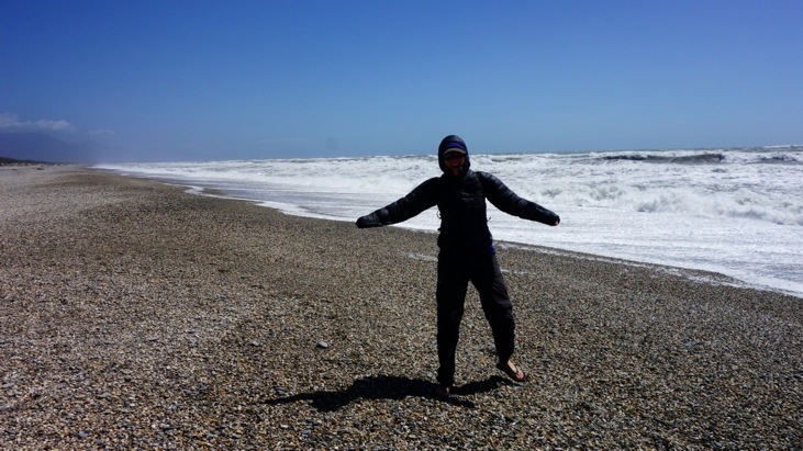
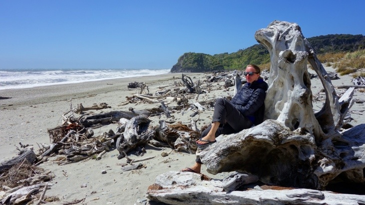
Shortly after passing the town of Haast, we arrived at the western coast of New Zealands southern island. From here we had a great view of the Tasman Sea and took a short walk along the beach at Ship Creek:
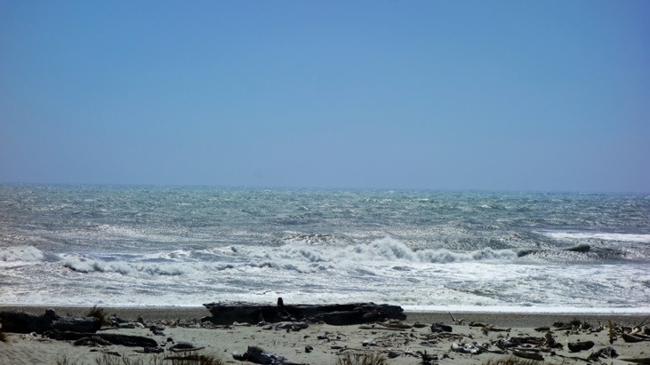
Although it looks warm on the pictures, there was a strong and cold wind blowing from the sea. That’s why Tini was wearing her down jacket 🙂
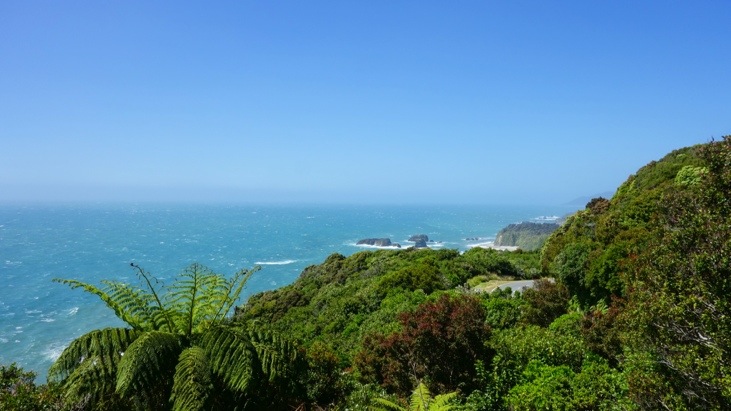
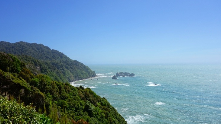
At Knights Point, another stop along the way:
The south-western coastline is part of the New Zealand World Heritage Area; the whole region is also one of the great wilderness areas of the Southern Hemisphere. Snow-capped mountains, rivers of ice, deep lakes, unbroken forests and tussock grasslands produce a landscape of exceptional beauty. In this setting some of the animals and plants once found on the ancient super-continent Gondwana can still be found.
The most astonishing part for us was how within only a few hours of driving the landscape had entirely changed from an alpine landscape setting to a tropical jungle wilderness.
This entry was posted in Australia, WorldMap
Leave a Reply
You must be logged in to post a comment.